NEW DATA IS BEING DISCUSSED! FOR THE LATEST UPDATE HEAD HERE: http://nickelblock.com/?tag=severe-weather
Okay, the overnight data is in and here is what we know, don’t know, think we know, and want to know….
WHAT WE KNOW
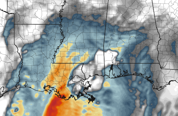
Tomorrow, as a piece of upper-level energy swings through, the areas across Louisiana, Mississippi and Alabama that are south of I-20 will have the highest risk for severe weather.
There will likely be two rounds of storms in three different places (complicated, yes)…
LOUISIANA:
The first round for Louisiana could start as early as 3am, ending around 8am. The second round will be around 1pm and last until 3pm
MISSISSIPPI:
The first round for Mississippi will be around 8am till 10am. The second round will be around 1pm and continue through 8pm
ALABAMA:
The first round for Alabama could be as early as 6am, lasting until 10am. The second round will start around 5pm and last through 11pm.
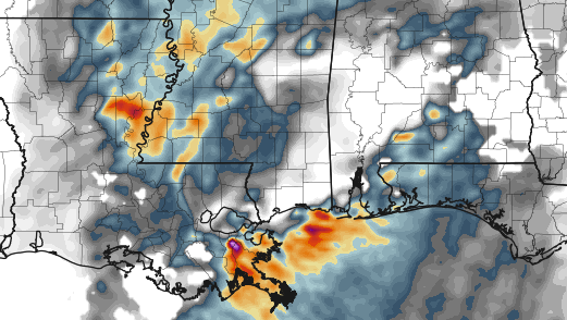
Between each of the rounds, isolated storms will be possible. But the “best bet” to see rain, storms and severe weather will be between those time periods.
The main concerns will be heavy rain, flash flooding, frequent lightning, damaging wind (gusts greater than 60mph), small hail (up to the size of a quarter), and a few isolated tornadoes (likely weaker than EF3)
WHAT WE DON’T KNOW
Where severe weather will develop specifically. I know a lot of folks ask “what about (my town)??? HOW BAD???”
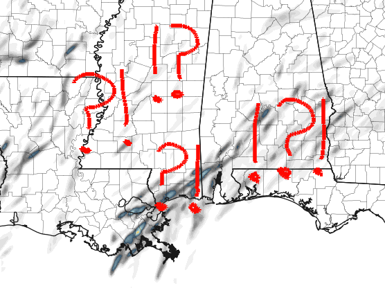
We don’t know.
Due to the cold season setup. We have to wait to see how sunny certain places get and how much instability can develop through the day before we will get a good idea about where the “worst” of the weather will be. And even then, we still have to wait to see what the other parameters are doing.
This will be a “instability starved” setup. Meaning the places that get warm, and have the highest dewpoints tomorrow, will likely see the best chance to see bad weather. So if you want your area to steer clear of the rough stuff, hope for clouds and light rain to stick around all day.
WHAT WE THINK WE KNOW
The isolated storms ahead of the main line will have the best chance of being the most severe storms of the day. We also think we know the timing pretty well – with two rounds of storms possible – and that we will have to wait for the afternoon heat to really get the strongest storms going.
WHAT WE WANT TO KNOW
I want to see how long the overnight clearing lasts and how long the morning fog sticks around. As as the fog lifts, how long it takes to clear out, if it clears out and if places even get into some sunshine.
There are a lot of variable at work tomorrow. Winter severe weather isn’t as cut-and-dry as the Spring stuff. There are a lot of moving parts and we will do our best to stay on top of all of them.


