First off, props to the Washington Post. I would really encourage everyone to take a look at this article about what the Harvey floods really mean. They do a great job at putting things into perspective.
If you follow the link you can put in your address to figure out what it would be at your house. But I went through and took snapshots of some South Mississippi towns and what they might look like if Harvey happened here. And I wanted to share them. Because they are a bit sobering.
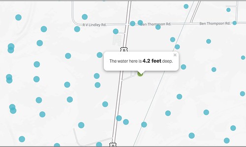
This is what it woudl look like, where I work, at WDAM:
Here are some other spots around the area I put into a Flickr gallery…
[fsg_gallery id=”5″]
If that didn’t work, here are the images in a different gallery…
Imagine the entire Pine Belt under two to six FEET of water. The whole area. Just unreal flooding.
Today’s Severe Risk

Today’s Tornado Risk

