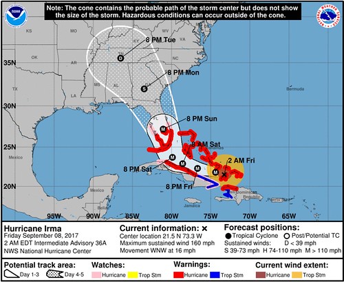
Hurricane Irma continues on its trek WNW at about 15 to 20mph. The forecast cone shift west late Thursday night. Understandably, for some, it brought a renewed sense of anxiety.
Here is why that heightened sense of fear isn’t necessary.
1.The change wasn’t that drastic
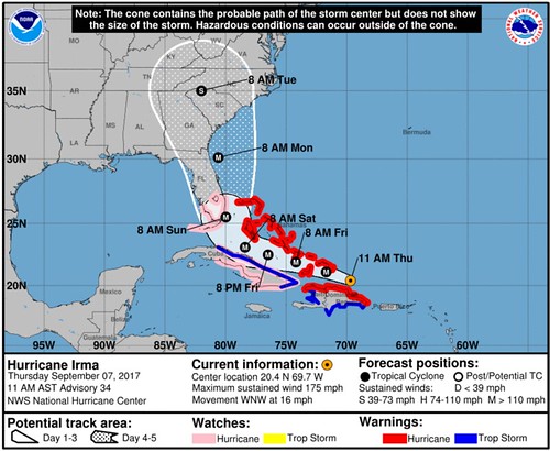
Notice that the shift only tipped the last day or two slightly more west. By the time is shifts, it is anticipated to be a much weaker storm than it is now.
2. It is still 2000 miles away
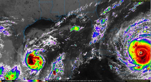
And moving at about 15 to 20mph, that leaves plenty of time to prepare for any impacts – if any at all. Right now the only anticipated change to the weather will be increased cloud cover, some extra showers and storms (with no severe weather anticipated), with some breezy conditions. This isn’t anticipated to be a land-falling hurricane for the area.
3. The atmospheric conditions steering this whole situation aren’t conducive for catastrophe
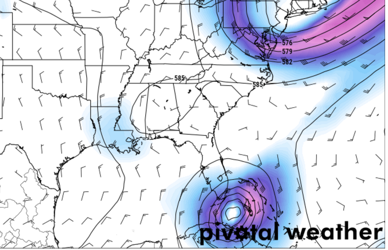
The most likely scenarios still take Irma over land long before it gets to Mississippi. So hang in there.


