Current Conditions
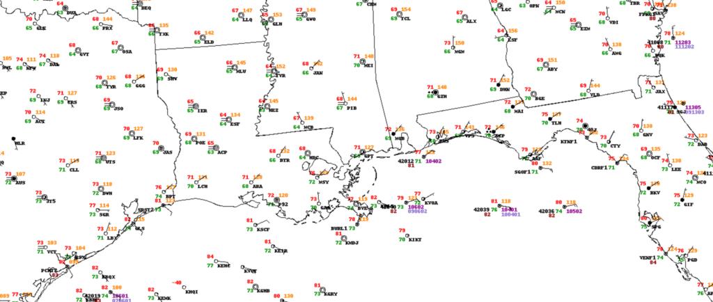
Currently acros the sotuheast temperatures are in the 60s and 70s from eastern Texas all the way to the Florida panhandle. with mostly clear conditions across a majority of the southeast – except southern Alabama and the Florida panhandle. Fog is noted across parts of Louisiana and Mississippi.
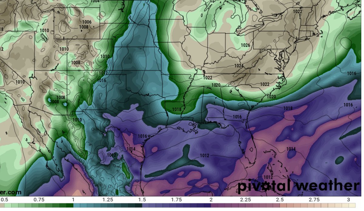
If you want to know more about reading surface observations maps like this one, check out this page from the Weather Prediction Center. For even more information about reading surface maps, the National Weather Service Jet Stream educational page has even more!
While the fog is a remnant of the rains from yesterday, the cloud cover across southern Alabama and the Florida panhandle is associated with an area of mid-level low pressure.
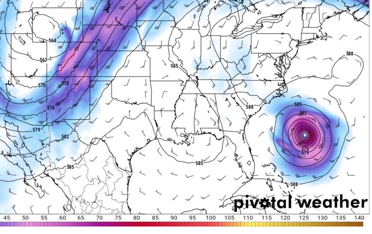
A mid-level low just off the coast will spin us up some more rain today… pic.twitter.com/JrDl4llhoZ
— Nick Lilja (@NickLilja) September 25, 2017
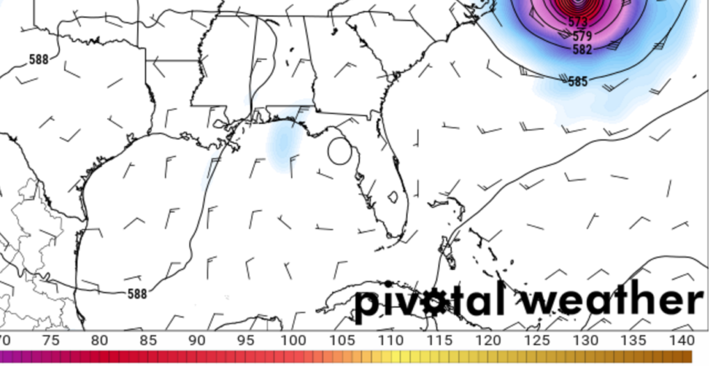
The mid-level low is also depicted on the 500mb maps
Back at the surface, dewpoints are in the upper 60s and low 70s across the Gulf Coast, making it feel like summer still, despite the calendar saying it is Autumn.
Through Thursday
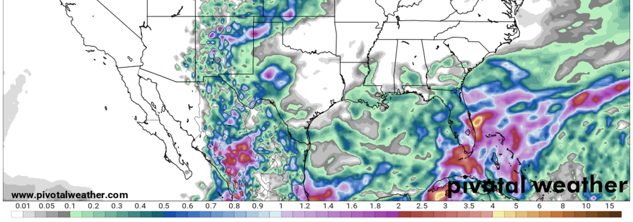
Looking at the week ahead, generally drier than average conditions are going to continue to be generally drier and generally warmer than normal. This is due to a 500mb ridge that is holding in place over the southeast. While the ridge does have one small dent in its armor – by way of that mid-level low just off the coast – it is pretty stout and warm.
Afternoon storms will continue for the Texas Gulf Coast and for southern Mississippi, southern Alabama and the Florida panhandle. Again, making it feel more like summer.
That ridge will eventually be nudged back to the west while the little mid-level low will break down and sag southeast by Thursday.
That will ease the threat for rain for Louisiana and Mississippi. While the threat will continue for the Texas Gulf Coast and for the Florida panhandle.
Friday, Saturday and Sunday
A cold front will try to sneak into the area by this weekend. The jury is still out on just how far south it makes it. And how much punch it will have when it does.
Most model guidance brings the front south, but the effects are negligible. Only lowering the temperature by a few degrees in parts of Alabama, Georgia and Florida. Dewpoints will drop by a few degrees, but not much.
And the return flow on the backside will actually increase rain chances for parts of Texas, Louisiana and Mississippi and southern Alabama.