We will start the day dry and chilly, with temperatures in the low 30s. By noon we will get back to around 35 to 40, but just as we do, the sleet/snow will begin. And that sleet/snow will cool us back down quickly. By 2p/3p timeframe I think we will be all snow.
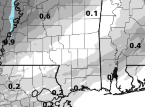
The HRRR computer weather model snowfall estimates above isn’t very aggressive. The while “bulls-eye” around the Pine Belt is the model showing little to no accumulation of snow for us.
I don’t necessarily buy that. Totals will be light – between 0″ and 1″ of dry, smaller flakes, for sure. But completely dry?That would be tough. Some folks could see up to 2″ where the snow trains. If you get 3″ or more, buy a lottery ticket ASAP.

This was the sounding of the atmosphere taken at Jackson, MS this morning. It shows a generally moist-ish profile below the Dendritic Growth Zone, but a drier DGZ. This is one reason that accumulations are expected to be light. If those red and gree lines were on top of each other, we would be looking at a better chance for another December 8th.
Instead, the 0″ to 1″ with a few spots near 2″ possible forecast should hold – barring any drastic changes.
 The image tot he left is my cheat sheet to figure out if you will see snow. It doesn’t have all of the steps, but it is a good first glance. And, after looking at it, I still think we are looking at some snow, but not much.
Following the steps…
Step 1 – Yes, Some?
Step 2a – Yes (a little)
Step 2b – Yes (barely)
Step 3 – No…
Step 4 – No…
Step 5 – Snow!
But given that the forcing is pretty meager down here, we likely won’t see as much as we could if this system was a bit more robust. There is some model data that suggests a reinforcing shot of – my very scientific parameter – ‘umph’ later today. That may open the door for an additional .5″ to 1″ of snow for some, but not many of us.
The problem we are still working to figure out is just how bad the roads may be. If we start with sleet/snow that melts on contact, then switches to snow later (albeit light) as the temperature drops below freezing, we may have some side streets and county roads that could get mighty slick/icy by 5p.
What do you need to do?
Be somewhere by 3pm. While the roads may never glaze over with ice, and while the snow totals will be pretty light – why risk it? If you have to travel after 3p, take it easy on the roads. Give plenty of distance between you and the car in front of you. And don’t slam on the brakes, if you can avoid it.
Also, given how cold we are about to be tonight (lows in the teens again), make sure you are checking those exposed pipes and dripping faucets tonight. Leave cabinets under sinks open and leave the heat a bit higher tonight, too.
Any questions? Post them below!


