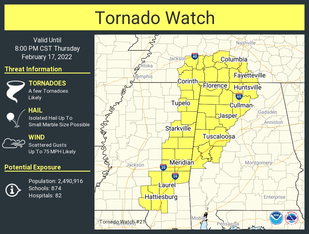
145PM UPDATE: Tornado Watch issued.

A quick check of the radar shows shower and storms starting to enter some of the western counties of Mississippi and Louisiana.

Mathematically speaking, the atmosphere looks like this:

While there are a handful of parameters on here are rather robust, but there are some things on here that grab my eye that may help to limit the overall threat for significant severe weather.
The biggest thing is the 500mb temperature. It is warmer than -10 degrees Celsius. And I can count on one hand how many times there has been severe weather with temperatures up at 500mb that are warmer than -10C.
It is just really tough to do in the region. Not impossible, but very difficult.
The other hurdle is the 850mb temperature less than 15 degrees Celsius. It is tough to really get updrafts cranking when it is below 13C. So sitting at 14C means there has to be other things (like colder air up at 500mb) to overcome that. But we don;’t have that.
Because of those two things, I would surmise that storms will really struggle to develop ahead of the line. And storms along the line will likely struggle to get overly robust.
That leaves Updraft Helicity streaks that are widespread and more diffuse. Because no one storm can “take over” and be the “main” storm in a particular area.

The last limiting factor is the Downdraft CAPE. This is on the lower end of the scale for tornadic development in the region when looking historically.
So, while tornadoes are still possible, it is just going to take a bit more for them to develop. That is why I’ve been trying to really drive home the “everyone gets rain and wind” and only a few places see a chance for a tornado.


