Another day with a round of showers and storms possible. Some storms may form as early as 9a this morning. A lingering boundary from storms last night may provide just enough of a catalyst for storms to develop a bit earlier.
Either way, afternoon and evening storms will be possible again today. It doesn’t look like storms will be as robust as yesterday, but they will still pack the potential for some brief heavy rain, brief street flooding, lightning and gusty wind.
Then as we move through the weekend and into next week things startt o warm up. Highs back in the 90s with Heat Index values back to around 105F.
The Interns have you covered withteh zone-specific forecasts below!
Zone-Specific Forecast
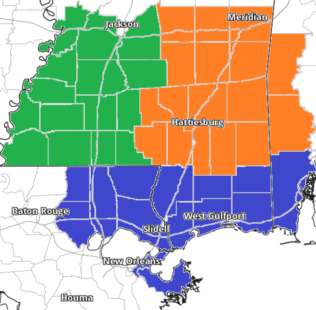
Team Green (southwest Mississippi counties) on the left
Team Orange (southeast Mississippi counties and southwest Alabama counties) in the middle
Team Blue (southeast Louisiana parishes and coastal Mississippi / Alabama) on the right


