I wanted to have some fun today given the forecast is a bit monotonous with the heat and every day afternoon storms. So I wrote up my forecast and then sent it to ChatGPT and asked it to add some sports analogies and re-write it like a sports commentator calling a baseball game.
Here is what it came up with…
We’ve got some increasingly anticyclonic flow over the forecast area that’s limiting the potential for organized storm activity. However, yesterday’s severe convective system left behind some outflow that could provide some focus for shower and thunderstorm development this afternoon.

Now, you know what they say, in baseball, it’s all about the fundamentals, and today we’ve got some steep lapse rates and low level warm advection combined with daytime heating that’s ultimately making for a very unstable airmass. But with weak deep layer flow and the lack of significant upper level forcing mechanisms for ascent, we’re only seeing scattered, pulse-type storms, mostly associated with the residual outflow boundary over southern portions of the forecast area.
But let me tell you folks, when it comes to these storms, there’s always a chance for a game-changing play. The strong instability and steep low level lapse rates could support a few severe microbursts, and we’ll definitely need to keep an eye on those locations that exhibit greater potential for storm development.
Now, any storms that do develop this afternoon will begin to diminish early this evening, but we’ve got some rain-free and very mild and humid conditions expected for the overnight. That’s right, folks, it’s going to be a beautiful night for baseball.
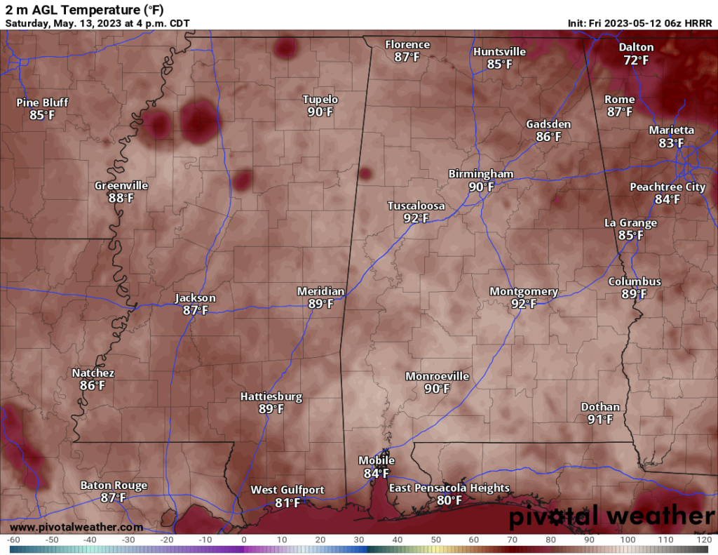
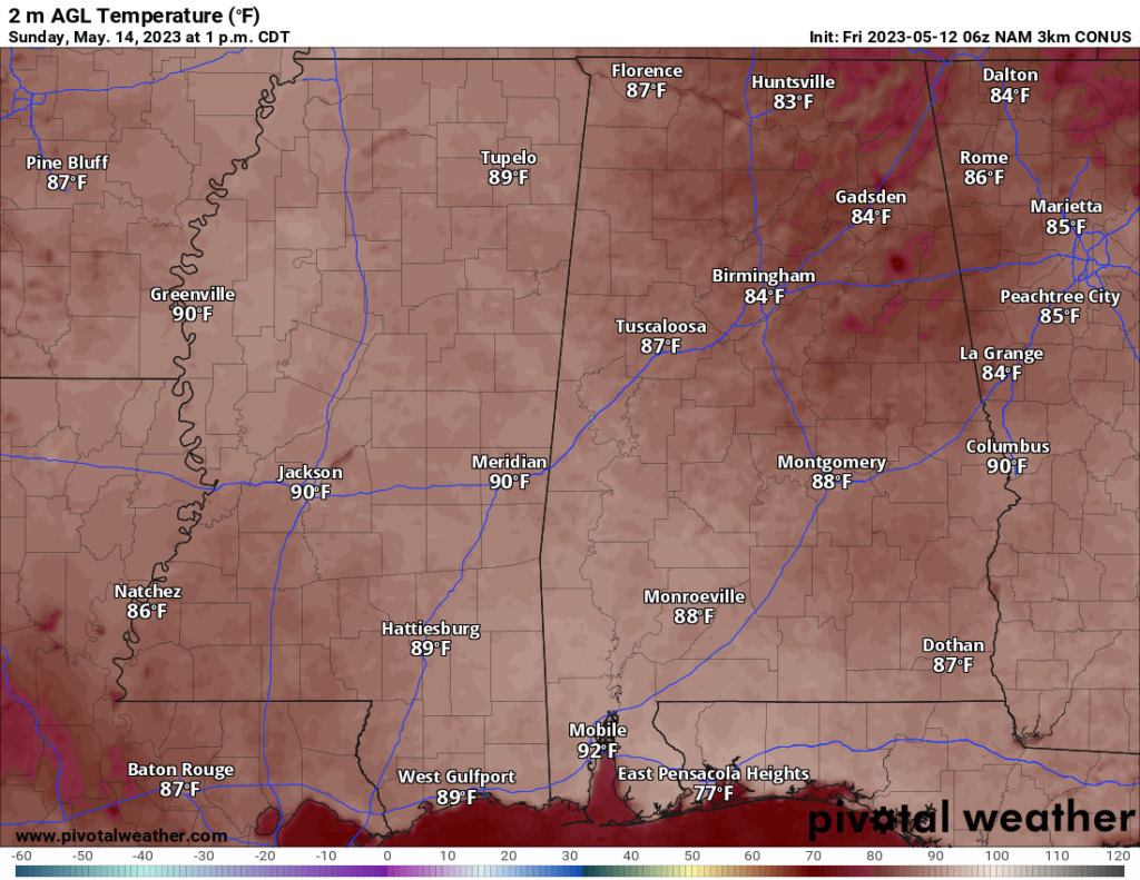
Looking ahead to the rest of the weekend, we’ve got an upper ridge that’s going to be the dominant feature, with a surface high pressure to the southeast funneling in statistically significant moisture beneath the ridge. This ridge builds and will be centered over the area this weekend, which could limit cloud cover and allow temperatures to rise into the upper 80s and low 90s. And you know what that means, folks, it’s going to be a hot one out there on the diamond.


But don’t worry, we’ve got some afternoon thunderstorms in the forecast, thanks to that ample moisture, although the convective parameters may not be ideal for a severe threat. The upper ridge will finally begin to break down by mid week, and we’ve got a subtle cold front pushing through, bringing drier air and decreasing chances of diurnally driven convection.
Now, there is some uncertainty in the timing of the front and how far south it progresses, but you know what they say in baseball, anything can happen, and we’ll just have to wait and see how this game plays out.
In short, we’ve got a chance for showers and storms each afternoon as things will be rather summer-like through the weekend and into next week. But it won’t be a wash out. Just keep an eye to the sky.
EXTRA WEATHER MAPS
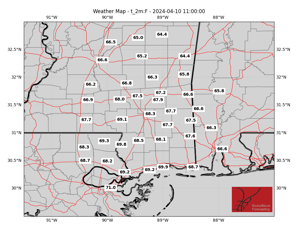
This weekend I’m going to try to set some time aside to work on these some more. But here is a look at today’s extra weather data:
Select Data Set:

Like always, if you’d like something added to these maps, please let me know. I’ll do my best!
REGIONAL DAY TO DAY FORECAST
Today: Mostly cloudy with showers and storms possible. Highs in the upper 80s. Southeast winds 5 to 10 mph. Chance of rain 20 percent.
Tonight: Partly cloudy. Patchy fog after midnight. Lows in the upper 60s. Southeast winds around 5 mph.
Saturday: Partly sunny with patchy fog in the morning and a few storms in the afternoon. Highs around 90. Southeast winds around 5 mph. Chance of rain 20 percent.
Saturday Night: Partly cloudy. Lows in the upper 60s. South winds around 5 mph.
Sunday: Mostly sunny, and warm. Storms possible. Highs in the lower 90s. North winds around 5 mph. Chance of rain 30 percent.
Sunday Night: Partly cloudy in the evening, then clearing. Lows in the upper 60s.
Monday: Mostly sunny with storms possible. Highs in the lower 90s. Chance of rain 30 percent.
Monday Night: Partly cloudy. Lows in the upper 60s.
Tuesday: Mostly sunny with a few storms possible. Highs in the upper 80s. Chance of rain 30 percent.
Tuesday Night: Partly cloudy. Lows in the upper 60s.
Wednesday: Partly sunny with a few storms possible. Highs in the mid 80s. Chance of rain 40 percent.
Wednesday Night: Mostly cloudy. Lows in the mid 60s.
Thursday: Mostly sunny. Highs in the upper 80s.

