This morning’s ChatGPT’cast features the forecast re-written in the style of Yoda from Star Wars. Enjoy!
Low surface weak, over Northeast Gulf it is. Low cloud deck in eastern and central Mississippi caused, due to lingering moisture. Slow to dissipate, clouds may be in parts of south and southeast Mississippi. Daytime temperatures impacted they will be, especially along I-59 corridor, struggling to reach 80F. Showers and possible storms isolated to scattered, late morning through afternoon, we shall see.
Northeasterly low-level flow, drier air and pleasant conditions it brings from the north. Rain chances later in the day it should decrease. Clouds expected to decrease tonight, leading to a cool night with upper 50s in some areas.
Thursday through mid next week, dominant dry pattern with northerly flow. Dry air wraps around upper trough, clear skies and middle 80s temperatures it results in, despite northerly flow. Thursday, dry cold front moves southward, bringing even drier air. Due to dry air, rain chances minimal they shall be.
Friday, upper low deepens and becomes cut off, moving around base of trough over southern Canada. Better agreement on placement of this upper low by forecast guidance models. Saturday, increased confidence in some rain chances as upper low centers over lower Mississippi valley. However, dry air may limit extent of rainfall, scattered in nature it shall be.
In regular English, there is still a chance for storms today and tomorrow. But, there will be a developing surface low off the east coast. This may need to be watched for sub-tropical development, sure, but more importantly for our area it will funnel in some drier air.

That drier air should stick around through the weekend and into next week – aside from the chance for a wayward shower or storm on Saturday. And as we watch the potential development of a subtropical system off the east coast, that should continue to hold the area in a northerly flow.

That means more drier-than-normal air.
I don’t think we are talking about “low humidity” but it certainly won’t be sweltering this weekend.
EXTRA WEATHER MAPS
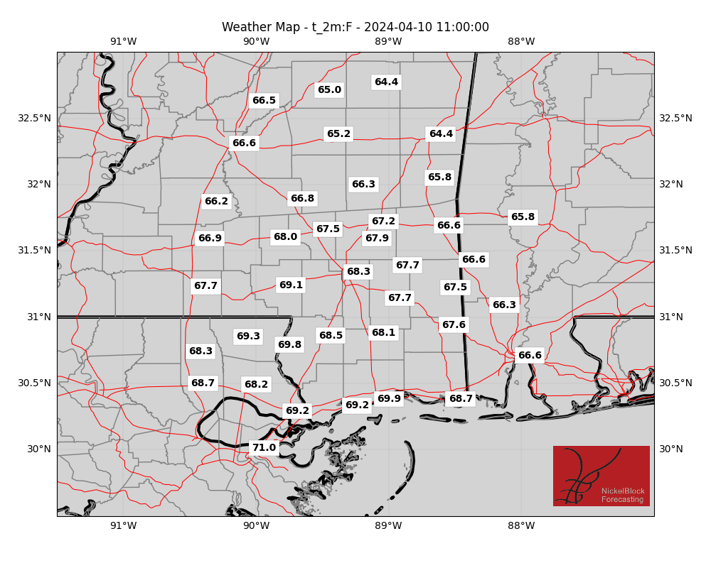
Here is a look at some extra weather data!
Select Data Set:

If you’d like to see any weather data in particular here, make a request! I’ll do my best to see what I can find.
REGIONAL DAY TO DAY FORECAST
Today: Mostly cloudy with a slight chance of showers and thunderstorms. Highs in the upper 70s. Northeast winds 5 to 10 mph. Chance of rain 20 percent.
Tonight: Mostly cloudy with a slight chance of showers and thunderstorms in the evening, then partly cloudy after midnight. Lows in the lower 60s. Northeast winds around 5 mph. Chance of rain 20 percent.
Thursday: Sunny. Highs in the upper 80s. Northeast winds 5 to 10 mph.
Thursday Night: Mostly clear. Lows in the lower 60s. Northeast winds 5 to 10 mph.
Friday: Sunny. Highs in the upper 80s. Northeast winds 5 to 10 mph.
Friday Night: Mostly clear. Lows in the lower 60s.
Saturday: Sunny. A slight chance of showers and thunderstorms in the afternoon. Highs in the mid 80s. Chance of rain 20 percent.
Saturday Night: Mostly clear. Lows in the lower 60s.
Sunday: Sunny. Highs in the mid 80s.
Sunday Night: Mostly clear. Lows in the lower 60s.
Memorial Day: Sunny. Highs in the upper 80s.
Monday Night: Mostly clear. Lows in the mid 60s.
Tuesday: Sunny. A slight chance of showers and thunderstorms in the afternoon. Highs in the lower 90s. Chance of rain 20 percent.

