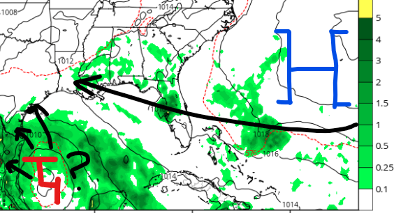
The tropics have woken up and we have three things to talk about! First, Potential Tropical Cyclone One has formed over the southwest Gulf of Mexico and is forecasted to bring heavy rain to Texas and Mexico this week. Second, a disorganized area of showers and thunderstorms will likely impact the southeast coast this weekend. Finally, a new area of development is possible next week over the southwest Gulf.
Heavy Rain for South Texas
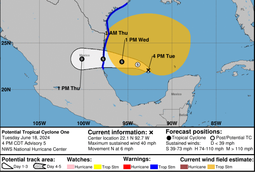
Potential Tropical Cyclone One has formed in the southwest Gulf of Mexico. Even though the system has low-end tropical storm force winds, it still doesn’t define “tropical characteristics” to give it the name Alberto. Either way, this broad area of low pressure is forecasted to move towards Texas and Mexico over the next 24-36 hours. Tropical storm force winds are possible along the coastlines of south Texas and northeast Mexico, but that will not be the main focus with PTC1.
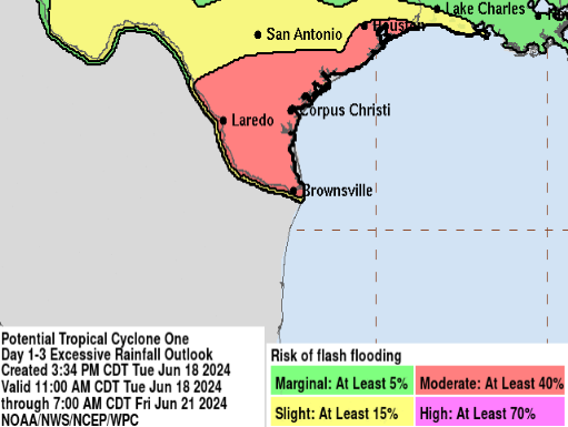
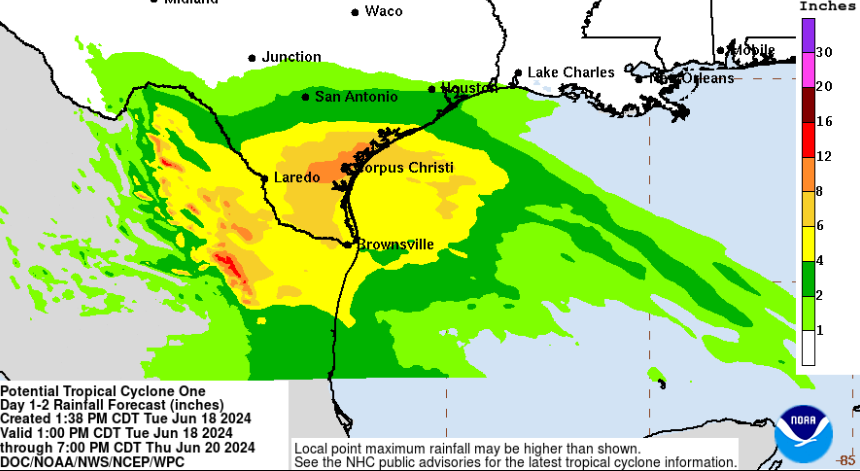
Heavy rain is likely due to the slow forward motion of PTC1. The Weather Prediction Center is highlighting the potential for flash flooding from Brownsville, TX to Houston, TX as most of south Texas will see at least 3-6″ of rain. Some locations could approach 10″ if the system slows down even more. Timing for the heaviest rain will be between Wednesday afternoon and Thursday morning. Avoid driving in higher waters and get to higher ground if needed.
Two Additional Areas In the Tropics
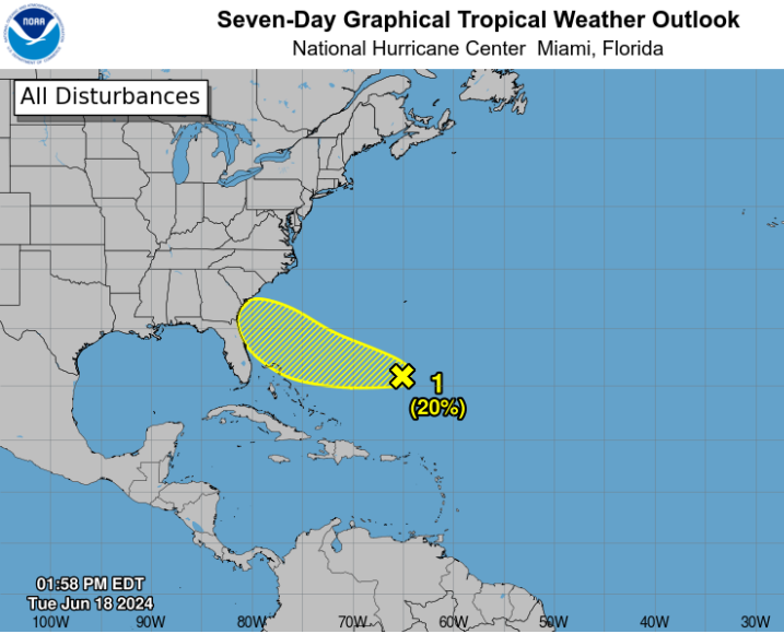
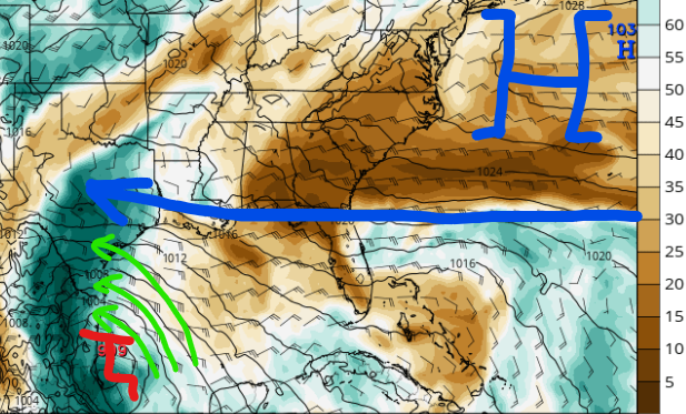
Area 1: Disorganized showers and thunderstorms are currently east of the Bahamas and are forecasted to move towards South Carolina, Georgia, and Florida this weekend. Dry air has been limiting the organization of this system and little to no development is likely over the next couple of days. 1-2″ of rain is possible this weekend for the Georgia and Florida coastlines.
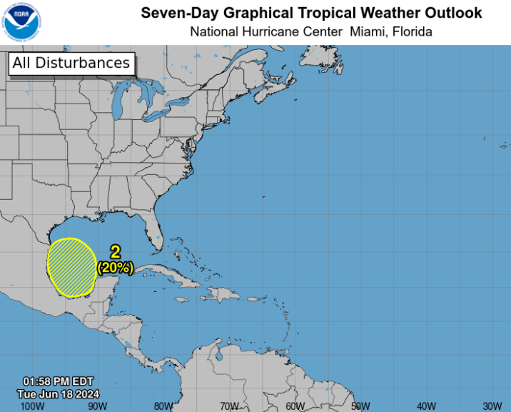
Area 2: A new area of showers and thunderstorms will likely move into the southwest Gulf late this weekend and into early next week. Steering patterns should generally take it off to the west-northwest as the strength and position of the high pressure over the Atlantic will determine who may start off with rain next week.


