It’s been interesting having things to talk about in the tropics as we are only a few weeks into hurricane season. Invest 94L has been over the Caribbean Sea for a couple of days now and the NHC is giving it a low chance of development. Furthermore, Invest 95L has looked impressive the past 2 days as this strong tropical wave continues to track west across the Main Development Region.
Invest 94L
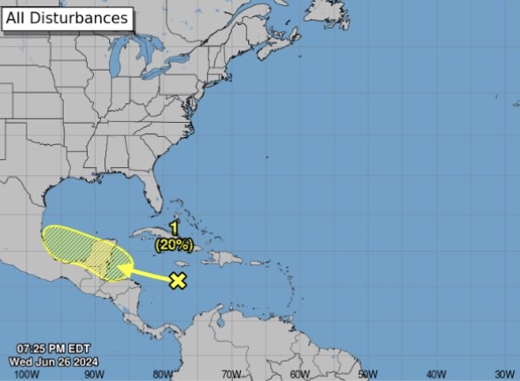
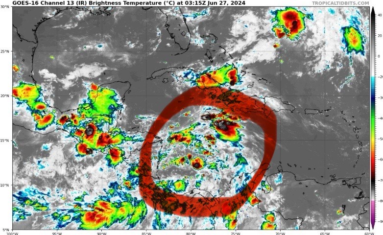
A broad area of showers and thunderstorms over the central Caribbean Sea is forecasted to move towards the Bay of Campeche this weekend. Slow development is possible over the next couple of days, but it hasn’t looked super impressive lately. Eastern Mexico and southern Texas should monitor this for an increase in cloud cover and rainfall.
Invest 95L
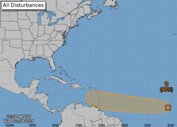
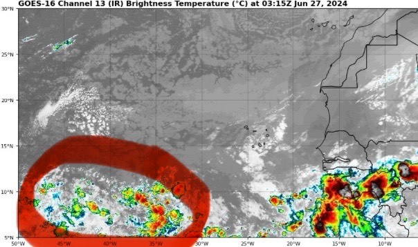
A strong tropical wave off the Main Development Region (MDR) will move west towards the Lesser Antilles late this weekend and into early next week. Confidence is increasing that a tropical depression or storm may form as the NHC has it a 60% chance over the next 7 days. Conditions usually aren’t too favorable this time of the year in the Caribbean, so we’ll see how the models handle it over the next few days. Either way, it is interesting to see a wave off of the coast of Africa develop this early in the season.
Steering Pattern Next Week
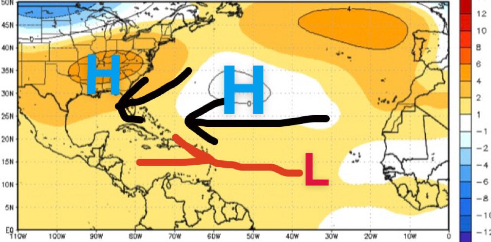
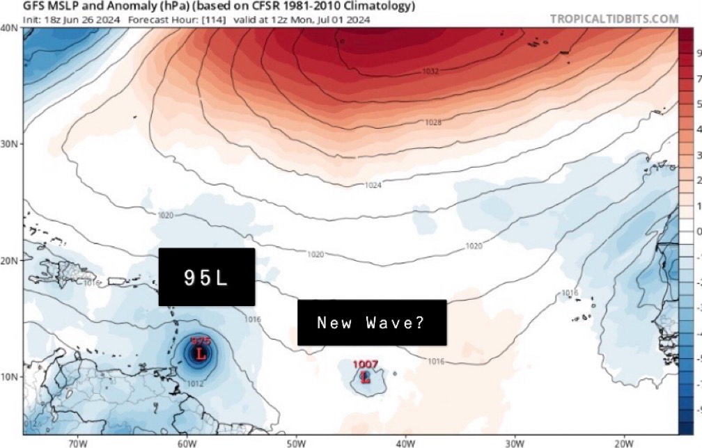
As Invest 95L continues to track west over the next couple of days, it’s strength and position will factor where it’ll head to by late next week. Stronger systems tend to pull northward towards the open Atlantic, but if the Bermuda high is strong enough, it could continue to move due west.
The Lesser Antilles should monitor 95L very closely as some models have this as a tropical storm nearing the islands early next week. Gusty winds and heavy rain would be the main threat as of now, but things can always change.
Also, the GFS model wants to develop another wave behind 95L, so we’ll see if model runs stay consistent with that.

