Okay, so that might’ve been a bit clickbait-y but it’s not untrue. With all of the humidity we’ve felt and rain that has been a nice relief from the insane heat this August, we’re going to be back in a dry spell again very soon. The good news is, it’ll reduce the dew point quite a bit!… But not for very long. After looking at some of the outlooks the Climate Prediction Center had for us this month, I’d say they were on the money with the above average rainfall.
Saturday
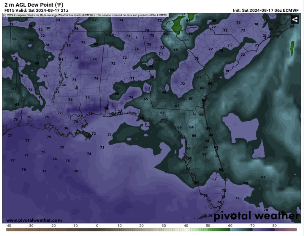
Today will be nothing short of hot and humid. We’ll have a few clouds in the sky, mainly cumulus clouds. However, this won’t be enough to really keep us much cooler. The NWS in Jackson has most of Mississippi, Louisiana, and Arkansas under a heat advisory or an excessive heat warning due to the heat index reaching up to 115 today. Areas closer to the Gulf will reach around 110 while areas closer to the delta will likely see it reach up to 115.
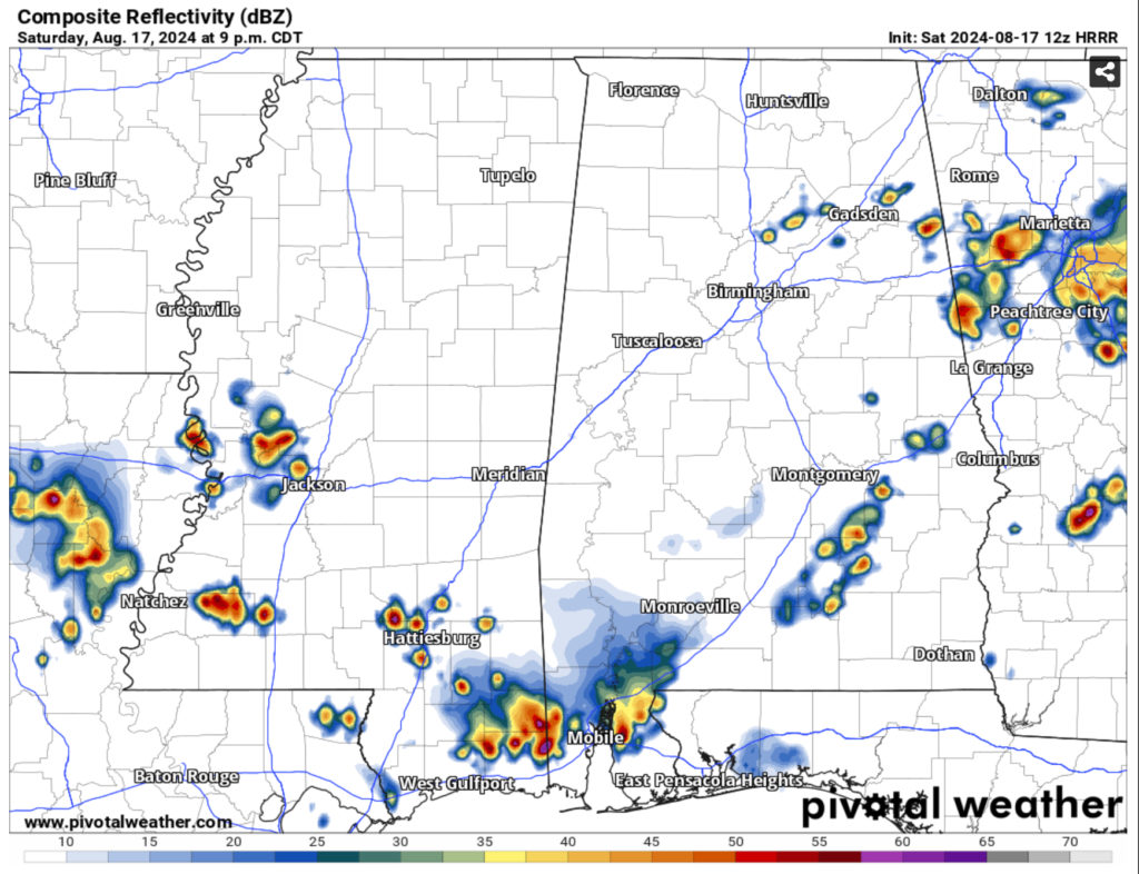
We’ll have a chance for some small clusters of thunderstorms developing around Hwy 84 and moving south throughout the mid afternoon. This will mean areas closer to the coast will likely see some showers and thunderstorms in the evening. Another round of storms is possible developing around the same corridor after dark and moving south towards the Hwy 98 corridor and the coast. We may likely see a 1/4” to 3/4” by the time the storms have subsided. Temperatures will reach the mid 70s overnight.
Sunday
If you thought Saturday was hot, we have even more heat for you! Temperatures will reach the upper 90s to 100, but the heat index will likely be 110 or more across the map. Dangerous heat is expected, so please drink plenty of water and electrolytes during the day if you’re outside.
Our main concern for tomorrow is the possibility of severe weather over parts of central Mississippi and Alabama. In the mid-afternoon, a strong MCS will develop over parts of northern Mississippi and become a more organized line as it moves south. The SPC has central MS/AL under a slight risk (2/5) for severe thunderstorms and it looks like hail and damaging winds are the main threats. It will mature as it reaches the central part of the states and begin to wane as it moves south. This doesn’t mean we won’t see some possible severe weather with this, however. We’ll likely see some strong winds and possible hail and maybe even some flash flooding in some storms. It looks to reach the southern parts of LA/MS/AL in the late afternoon/early evening and towards the coast into the night.
Be on the lookout for any severe warnings tomorrow evening!
Monday
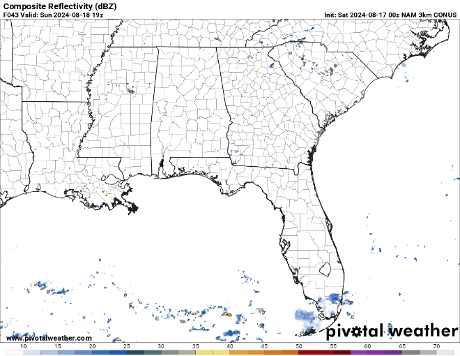
After the storms have moved out overnight, we’ll have a much more limited chance of rain going forward. The temperature will pull back into the low to mid 90s during the day with the heat index feeling a bit more like the actual temperature, which is quite a nice change! The dew point will be closer to the low 60s as the cold front moves in from Monday to Tuesday, and the low temperature will reach the low 70s.
Regional Day-to-Day Forecast
Today – A chance of showers, with thunderstorms also possible in the afternoon. Mostly sunny and hot, with a high in the upper 90s. Heat index values as high as 110. Southwest wind around 5 mph. Chance of precipitation is 40%.
Tonight – A slight chance of showers and thunderstorms into the evening. Mostly cloudy, with a low in the mid 70s. South southwest wind around 5 mph becoming calm in the evening. Chance of precipitation is 20%.
Sunday – Sunny and hot, with a high near 100. Heat index values as high as 110. Northwest wind around 5 mph.
Sunday Night – Showers and thunderstorms possible, some strong. Partly cloudy, with a low in the mid 70s. West northwest wind around 5 mph becoming calm. Chance of precipitation is 50%.
Monday – A slight chance of showers, with thunderstorms also possible in the afternoon. Sunny, with a high near 94. North northwest wind 5 to 10 mph. Chance of precipitation is 20%.
Monday Night – Mostly clear, with a low in the low 70s. North northwest wind around 5 mph becoming calm in the evening.
Tuesday – Sunny, with a high in the low to mid 90s. North wind around 5 mph.
Tuesday Night – Clear, with a low in the upper 60s. North wind around 5 mph becoming calm.
Wednesday – Sunny, with a high in the mid 90s. North northeast wind around 5 mph.
Wednesday Night – Clear, with a low in the upper 60s.
Thursday – Sunny, with a high in the low to mid 90s.
Thursday Night – Clear, with a low around 70.
Friday – A 20 percent chance of showers and thunderstorms. Sunny, with a high in the low 90s.


