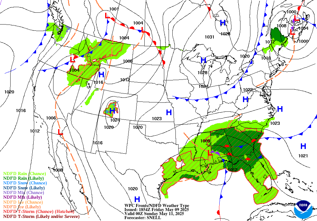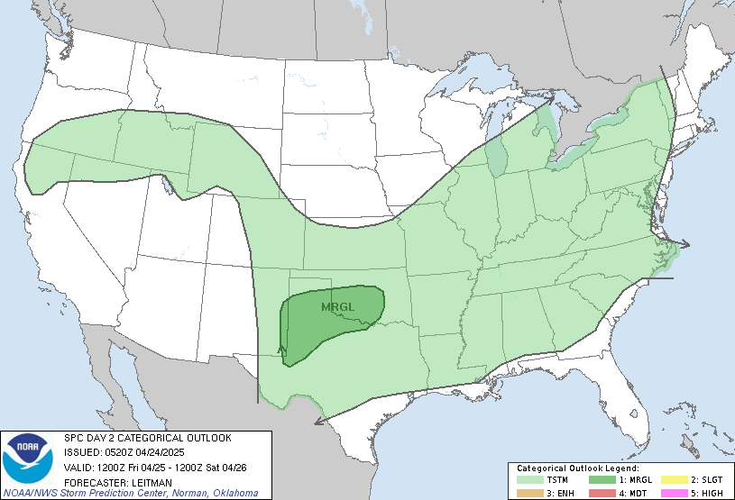
Like we saw earlier this summer when widespread heat infiltrated the Central US, high temperatures are once again returning as high pressure aloft builds this weekend. With this high pressure comes immensely dry conditions around the Central and Eastern US while the West Coast will be dealing with the arrival of Hurricane Hilary in a few days.
Minimal Storms Today as Heat Takes Over

It has been awhile since the country has been looking so sparse on the convective severe weather outlook with only the Western US and Florida under the threat of thunderstorms today. In is mostly due to the immense amount of moisture being pulled up the west side of this high pressure system along with Hurricane Hilary. I would highly recommend checking out our tropical outlook today for more information about Hilary as it makes it way into Southern California in a couple days.
But for now, much of that moisture that is fueling Hilary will also be making it way into Arizona up into the Rockies region. Overall, these storms will not be very severe due to the amplifying ridge. But the areas most at risk today will be around Idaho and Utah as that Canadian cold front sweeps through.
Travel Outlook
For today, travel will be relatively unimpeded by the minimal storms but do be on the look out for possible isolated thunderstorms when traveling through the West Coast area, especially through Idaho and Utah. The Midwest and Southeast will be experiencing extremely hot temperatures which shouldn’t affect travel but could be uncomfortable to travel through.
Extended Outlook

As of now, model consensus strongly signals that this mid-level high pressure will be sticking around for the week ahead which will limit precipitation around Eastern Texas into Louisiana. Upper-level winds to the west will continue to pull moisture up through the Rockies region while the heat dome of dry air will be trapped as moist air from the oceans struggle to penetrate this high pressure. This ridge will also prevent tropical storms from heading into Gulf region.
Conclusion
Overall, these conditions are going to persist for awhile as this high pressure continues to build over the Eastern US. With this pattern sticking around, Southern Texas and Louisiana will be exceptionally dry throughout the area during an already persisting drought.

