You may have noticed that we’ve had some puffy cumulus clouds out this afternoon. Some of them were able to turn into some isolated thunderstorms towards the MS/LA coastline and are moving due West. The reason for this is a subtropical low that is sweeping west across the Gulf of Mexico bringing a small spike of precipitable water to portions of the Gulf Coast. For the rest of us, it’s just partly cloudy and hot until sunset.
As the Gulf low moves into Texas, we’ll return to our hot and dry weather on Monday. The high pressure dome over most of the eastern US will still remain keeping rain to a minimum. Temperatures will reach the mid 90s with the heat index approaching 100 in most of the Deep South. By Tuesday, we’ll see a bit more southerly flow from the Gulf introducing more humidity back to all of us south of Hwy 84.
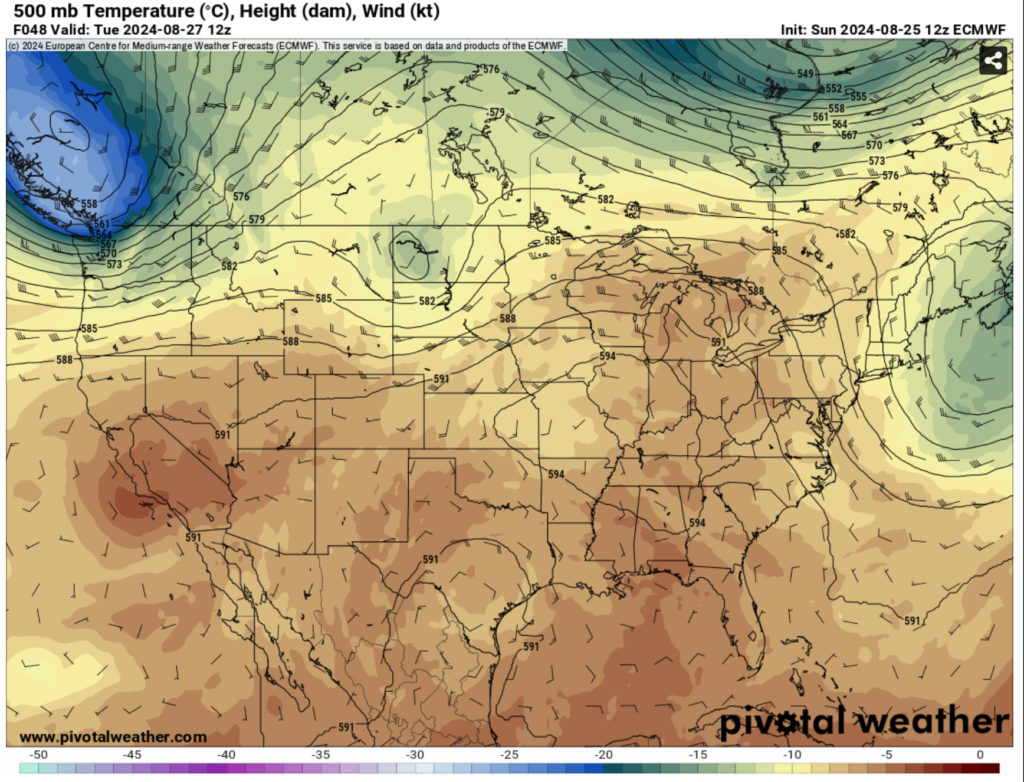
Wednesday and Thursday will be a similar story with some spotty rain chances closer to the coastline in the afternoon. A few may make it further north, but these look fairly isolated in nature. The heat index will also start to climb into the mid 100s and a heat advisory is expected. As this is going on, a cold front from the Heartland will make its way north. While it won’t have much of an effect on our temperatures, it could bring some scattered storms to us on Friday.
//Courtesy: Pivotal Weather
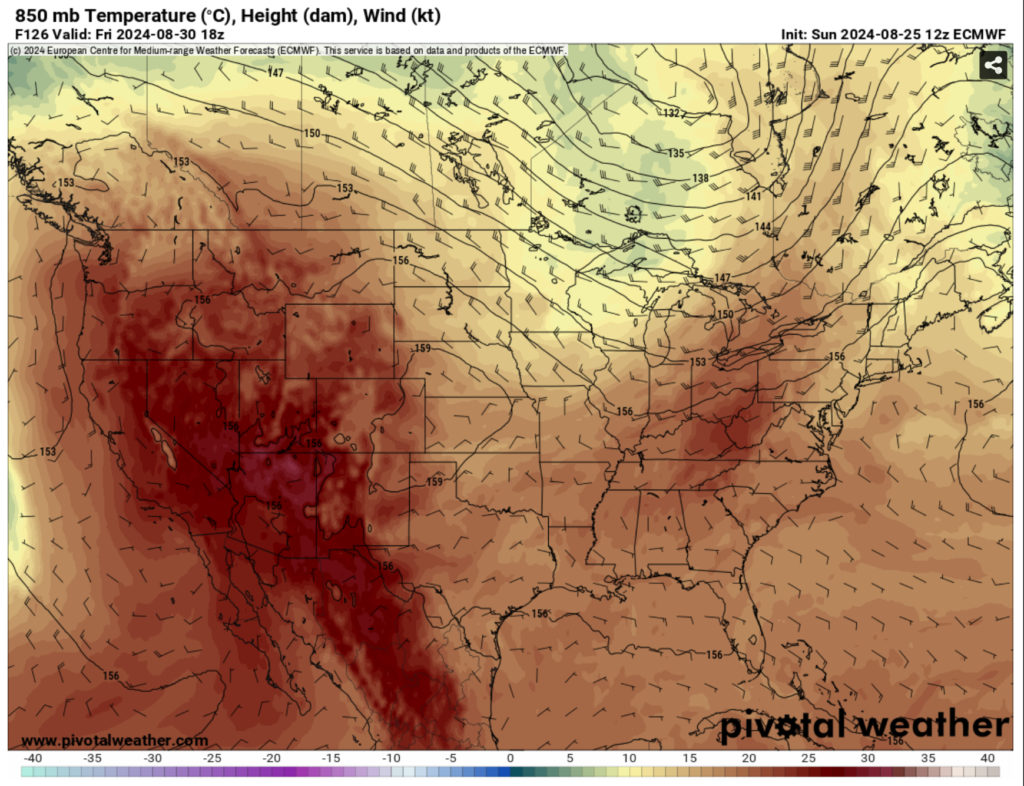
Labor Day weekend looks to have some spotty showers and thunderstorms possible each day with the cold front stalling out over the South. Friday through Monday look to have some afternoon thunderstorms possible with the influx of Gulf moisture. We’ll keep an eye out on it as the models progress closer to the weekend.
To reiterate about the fire weather, while it looks like there may be some afternoon thunderstorms later in the week, this won’t be enough to cut down our fire hazard next week. Please do not burn anything until the ban has been lifted.
Regional Day-to-Day Forecast
This Afternoon – Mostly sunny, with a high in the mid 90s. Heat index values as high as 99. East wind 5 to 10 mph.
Tonight – Mostly clear, with a low around 70. East southeast wind around 5 mph becoming calm.
Monday – Sunny, with a high in the mid 90s. Heat index values as high as 99. Calm wind becoming east around 5 mph in the morning.
Monday Night – Partly cloudy, with a low in the low 70s. East northeast wind around 5 mph becoming calm.
Tuesday – A 20 percent chance of showers and thunderstorms in the afternoon. Mostly sunny and hot, with a high in the upper 90s. Calm wind becoming east around 5 mph in the afternoon.
Tuesday Night – Partly cloudy, with a low in the mid 70s. Southeast wind around 5 mph becoming calm.
Wednesday – A 30 percent chance of showers and thunderstorms, mainly in the afternoon. Mostly sunny, with a high near 96. Calm wind becoming southeast around 5 mph in the afternoon.
Wednesday Night – Partly cloudy, with a low in the low 70s. South wind around 5 mph becoming calm.
Thursday – A 30 percent chance of showers and thunderstorms in the afternoon. Mostly sunny, with a high in the mid 90s. Calm wind becoming southeast around 5 mph in the afternoon.
Thursday Night – A 10 percent chance of showers and thunderstorms after sunset. Partly cloudy, with a low in the low 70s.
Friday – A 40 percent chance of showers and thunderstorms. Mostly sunny, with a high in the mid 90s.
Friday Night – Partly cloudy, with a low in the low 70s.
Saturday – A 40 percent chance of showers and thunderstorms. Mostly sunny, with a high in the mid 90s.


