This is the last time I’ll refer to Francine, but it’s worth noting because of what it’s bringing to us over the next day and a half. A spinning closed low hovering over us will give way to an overarching upper ridge developing from Mexico bringing a dry spell for the rest of the week.
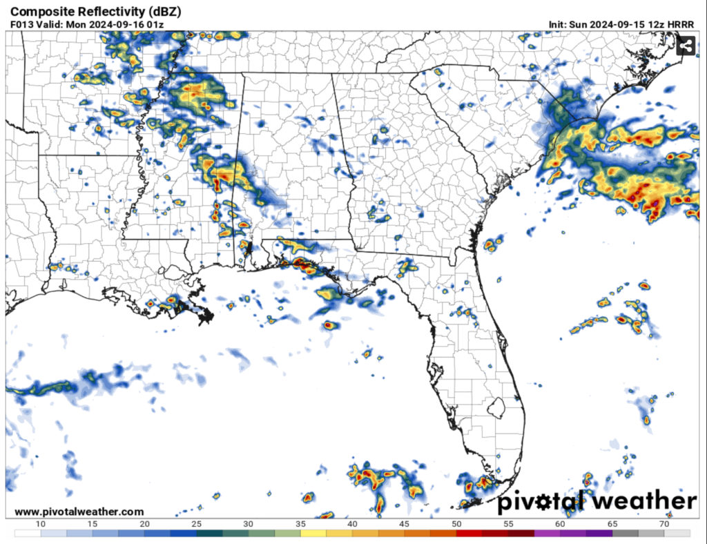
Tonight and tomorrow we’re going to see some mixed chances of rain over parts of the Pinebelt and central Mississippi. Much of east central and northern Mississippi have already seen rain during the day and will still see some into the overnight hours. A few thunderstorms will develop with some isolated storms closer to the coast. Temperatures will reach the upper 60s overnight with winds out of the west.
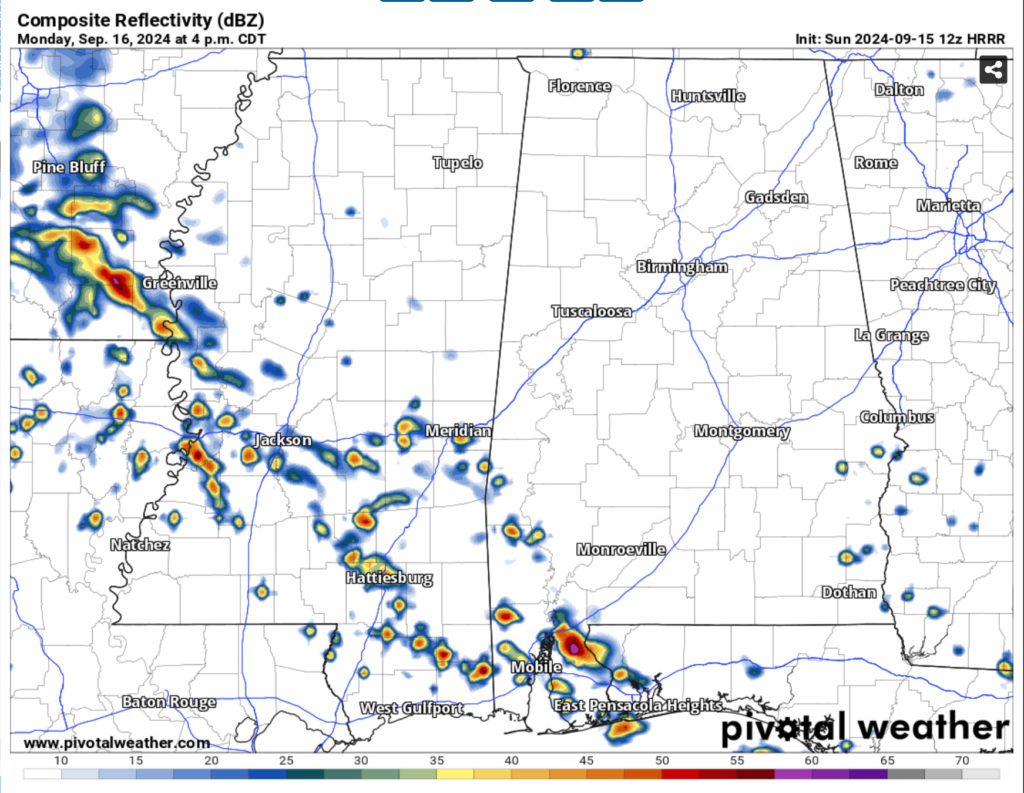
On Monday, we’ll see the low move further south and the stationary front help feed the moisture inflow similar to a warm front. Compound this with some northeast winds and we’ll have some diurnal storms in the afternoon across much of northeastern Louisiana all the way to the Mobile Bay. Since this front isn’t moving much for another day or so, the dewpoints will be near the 70s with temperatures in the 80s making for a pretty muggy day.
Tuesday will also be quite warm with the front just starting to move out. We’ll see a mix of clouds and sun during the day and one more chance of thunderstorms in the afternoon. Highs will be in the low to mid 80s and lows in the upper 60s. Winds will be out of the east northeast.
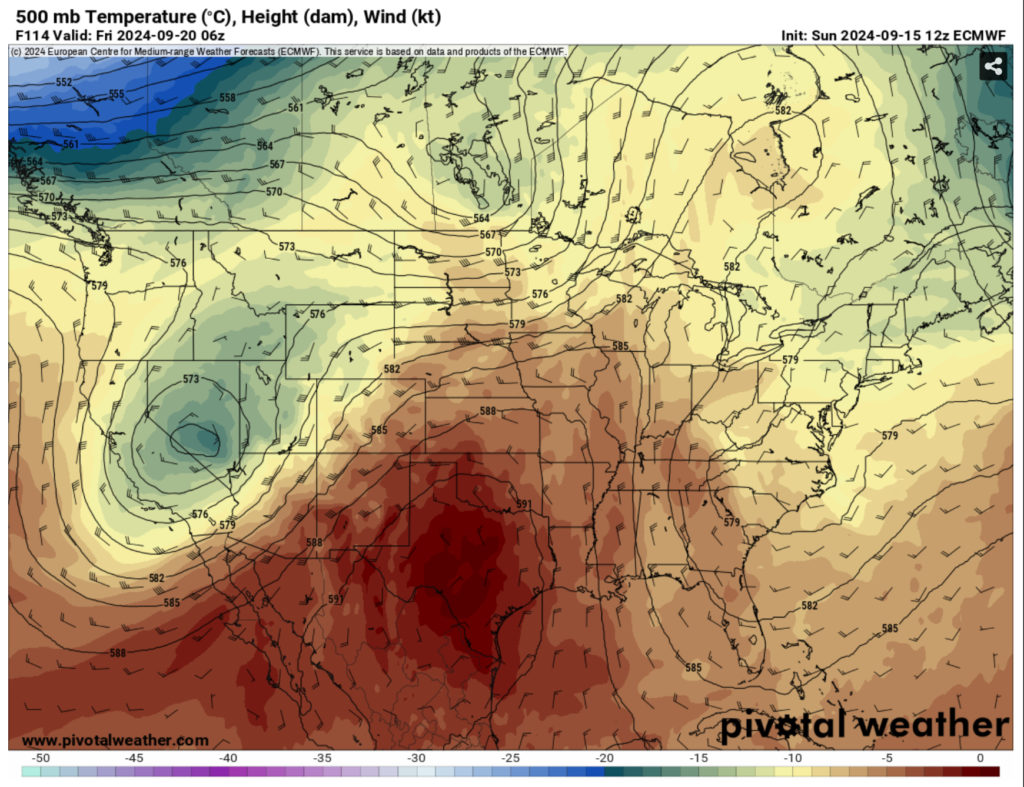
Starting Wednesday, we’ll see a shift at the surface and the upper levels bringing more dry air to the Southeast. A growing ridge from Baja California will move east by way of a stout upper level trough in the Pacific Northwest. With the upper level trough beginning to move east and the Atlantic low moving in towards the mid-Atlantic region, we’ll be stuck in between the two for the next several days.
What this means for us is a much drier feeling airmass around us limiting any rainfall for the rest of the week. Dewpoints will take a dive into the low 60s and temperatures will hover around the mid to upper 80s (possibly reaching to the low 90s) and lows will reach the mid to upper 60s. Towards the weekend, the temperatures will creep up a bit with the dew point starting to rise a bit. Overall it’ll be hot but not miserable for the week and weekend.
Regional Day-to-Day Forecast
Tonight – Partly cloudy with a chance of showers this evening, then mostly cloudy after midnight. Lows around 70. East winds around 5 mph. Chance of rain 40 percent.
Monday – Partly sunny. A chance of showers in the morning, then showers likely with a chance of thunderstorms in the afternoon. Highs in the lower 80s. East winds around 5 mph. Chance of rain 70 percent.
Monday Night – Mostly cloudy with a chance of showers in the evening, then partly cloudy after midnight. Lows in the upper 60s. Northeast winds around 5 mph. Chance of rain 40 percent.
Tuesday – Mostly sunny. A chance of showers and thunderstorms in the afternoon. Highs in the mid 80s. Northeast winds around 5 mph. Chance of rain 40 percent.
Tuesday Night – Mostly clear in the evening, then becoming partly cloudy. Patchy fog. Lows in the upper 60s. East winds around 5 mph in the evening, becoming light and variable.
Wednesday – Patchy fog in the morning. Mostly sunny. Highs in the upper 80s.
Wednesday Night – Mostly clear. Patchy fog after midnight. Lows in the upper 60s.
Thursday – Sunny. Highs in the upper 80s.
Thursday Night Through Friday Night – Clear. Lows in the mid 60s. Highs in the upper 80s.
Saturday Through Sunday – Mostly clear. Highs in the upper 80s. Lows in the upper 60s.


