I hope everyone had a restful three day weekend. For those of you who were working yesterday, thank you for ‘taking one for the team’ as I’ve been there many times and I know exactly what that is like.
Speaking of work! I recently got a request to add in more counties/parishes to my daily forecasts. so these “South Mississippi” forecasts may soon include some parts of Louisiana, too. Maybe even an Alabama county or two. If you are interested in that – or know someone that is – please let me know. So far I’ve received about half a dozen requests. And while I would love to help everyone. Doing a ton of extra work for just six people isn’t something I have the bandwidth to do on a regular basis.
But if there are WAY more of you out there, let me know and I can see if I can try to squeeze in some extra time.
Anyway!
Things are looking a bit cooler and a bit drier this week for south Mississippi. Highs will still be in the upper 80s to around 90, but it does look like the area will get some relief from the humidity. For real this time.
It won’t be much, but it will be noticeable. And there is also a chance we get a day or two with lows in the mid to upper 60s – slightly cooler than last week.
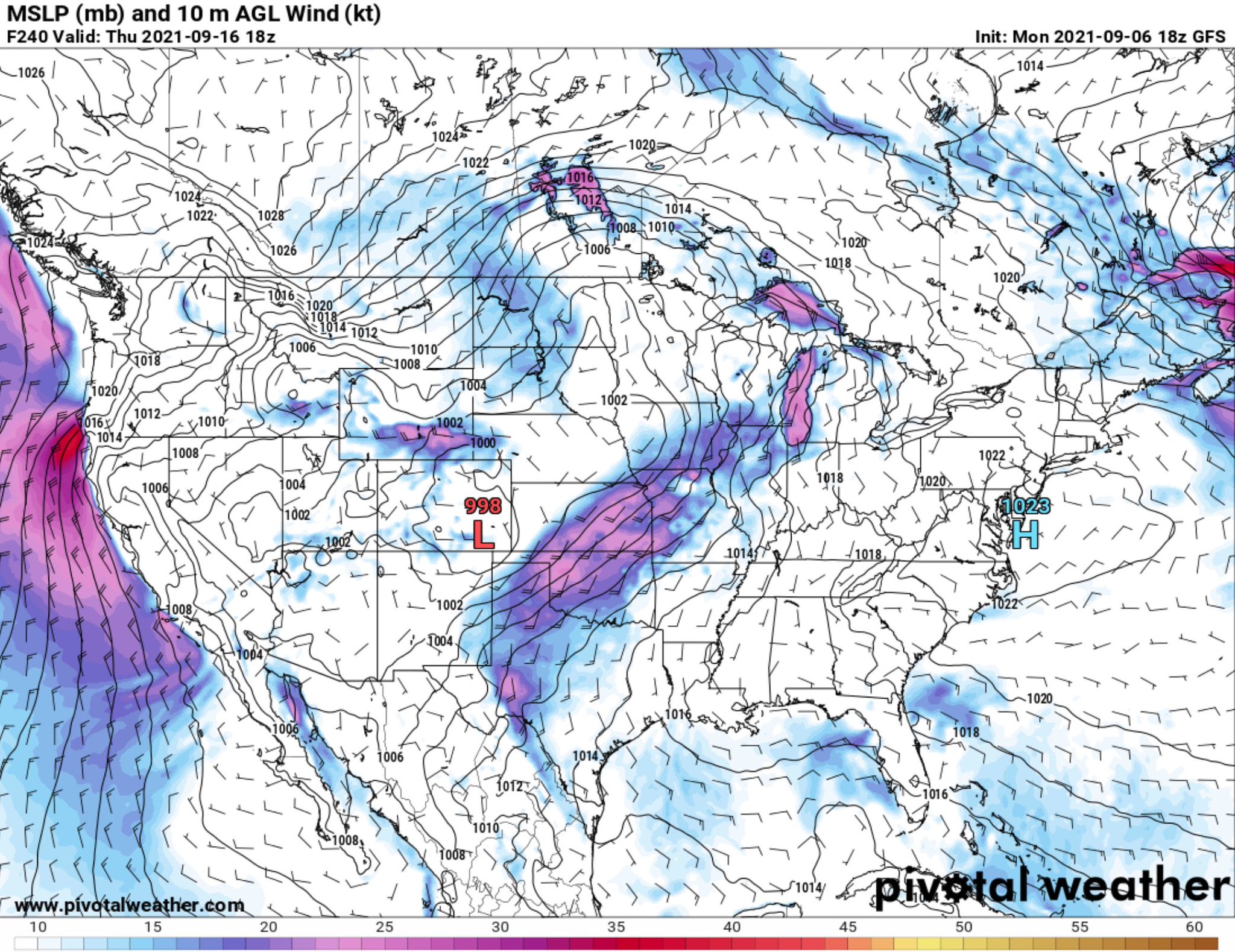
The difference in the forecast models is actually pretty stark. Looking at the Theta-e numbers (I’ll probably have to make a whole post about Theta-e one day) the takeaway is the proximity to the greens, blues and purples. If you are near those colors, you’ll likely be a bit warmer overnight than guidance is suggesting.


This week’s forecast is devoid of most colors, while last week there were colors a’plenty. This is why simply grip-and-rip forecasting doesn’t always work. And also why that stock weather app on your phone isn’t the best either.
Out in the tropics, hopefully that ‘scary’ post floating around social media didn’t get too many people concerned. The NHC is still monitoring Invest 91L, but it still looks to be mainly (1) a rain producer, (2) a problem for Florida, and (3) disorganized. And Hurricane Larry is very large and staying mostly out to sea with Bermuda potentially seeing indirect impacts given Larry’s size.

Speaking of the Tropics, model gudiance continues to show mainly a ‘nuthin burger’ for any US impacts fromt eh tropics during the next 10 days. As expected, that post that was floating around the internet last week showing some big hurricane in the Gulf wasn’t very accurate at all.
Here is a look at model guidance from Monday evening.

This is from the same time frame as the viral post on Facebook that was also shared over to Twitter and TikTok. As well as other social media outlets, I’m sure. This guidance shows an open wave getting into the Gulf, but it would be highly influence by some regional shear, unlikely to develop.
Does it necessitate attention? Sure, from meteorologists. But should anyone worry at all? Nope!
Day-to-Day Forecast
Tuesday
Passing clouds with showers and storms possible. Partly cloudy. Highs in the mid 80s. The chance of rain 60-percent.
Tuesday Night
Partly cloudy. Lows around 70.
Wednesday
Partly cloudy with scattered storms possible. Highs in the upper 80s. The chance of rain 40-percent.
Wednesday Night
Partly cloudy. Lows in the upper 60s.
Thursday
Mostly sunny with a 30-percent chance of showers. Highs in the upper 80s.
Thursday Night
Mostly clear. Lows in the lower 60s.
Friday
A few clouds. Highs in the mid 80s.
Friday Night
Clear. Lows in the mid to upper 60s.
Saturday
Sunny. Highs in the upper 80s.
Saturday Night
Mostly clear. Lows in the mid to upper 60s.
Sunday
Mostly sunny with a 20-percent chance of showers and thunderstorms. Highs around 90.
Sunday Night
Partly cloudy. Lows in the upper 60s.
Monday
Mostly sunny with a 30-percent chance of showers and thunderstorms. Highs around 90.
Graphical Forecast


