Welcome to astronomical Summer!
With a big ridge in place, there is going to be plenty of heat the next few days across the region. Highs will tag the upper 90s to around 100 degrees for the next five days. but the heat should start to ease back next week.

The heat eases as the ridge moves west. In its wake, an upper-level low will settle across the Bahamas and may even drift into the Gulf. The good news about the upper-level low is it will spell better chances for rain and keep temperatures from pushing 100F across much of the area.
The bad news is that no one ever likes to see an area of low pressure – at any level of the atmosphere – near the Gulf of Mexico this time of year.

On top of that, with the next front trying to shove into the region (probably the last one we will see until October), the remnants may try to also sneak into the Gulf. And any remnants will need to be monitored for potential development.
Zone Specific Forecast
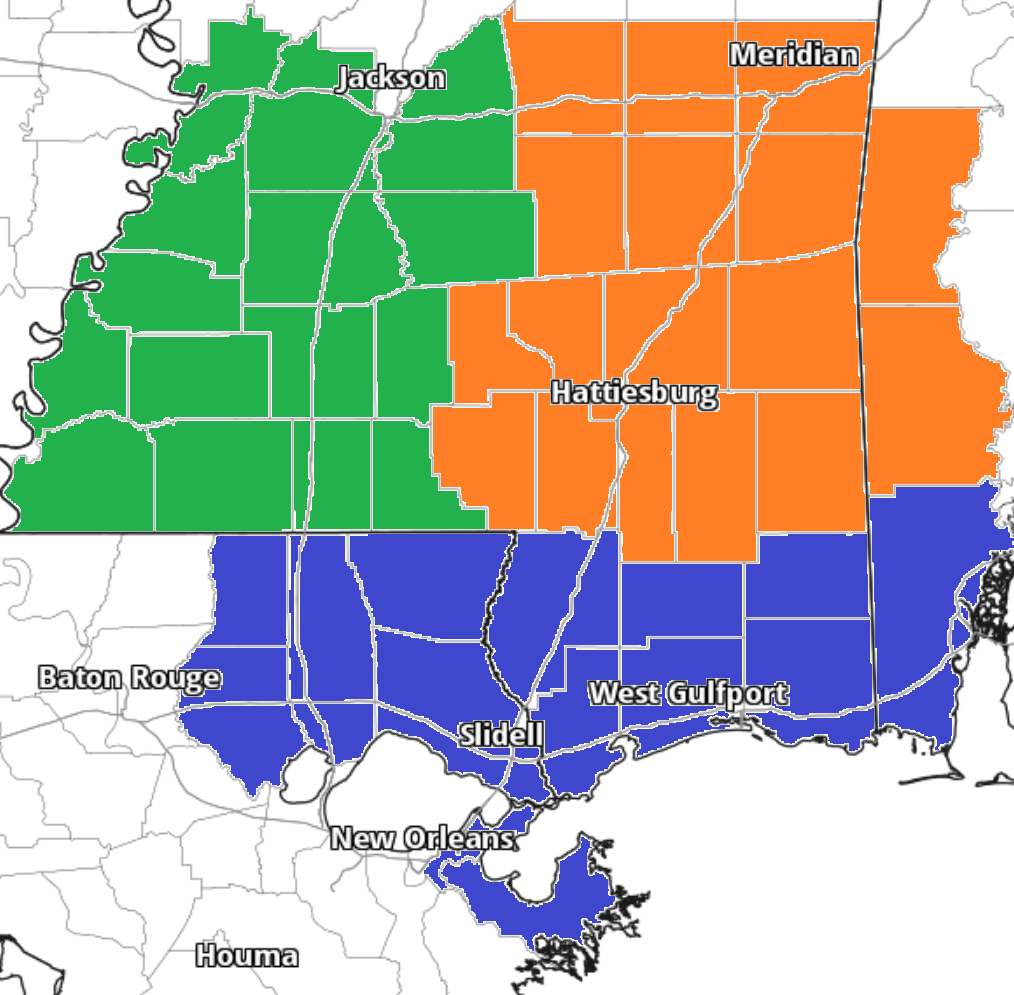
A lot of great forecasting today from the Interns! They have a look at the zone forecasts with more specific details about what it means for you!
Team Green, southwest Mississippi counties) on the left, Team Orange (southeast Mississippi counties and southwest Alabama counties) in the middle and Team Blue (southeast Louisiana parishes and coastal Mississippi / Alabama) on the right!
Day to Day Forecast
No general day to day forecast today! But a specific day to day forecast for your area is available from the interns at the links above!


