It’ll be another hot one. Afternoon highs into the 90s with another chance for a few afternoon storms. But the real storms will arrive as we head through the overnight hours and into Sunday.
First things first, the heat: It’s hot.


All three of the local National Weather Service offices are warning everyone about Heat Index values exceeding 105F today. That means drinking plenty of water, taking it easy outside, and taking plenty of breaks.
And if you can simply hang in some AC for a bit today, please do.
Then the storms arrive as head head into the overnight hours.

The HRRR computer weather model suggests a decaying line of storms will try to push through the area overnight. This would be between about 10p and 3a. It looks like there will be the potential for some damaging wind gusts with some of the strongest storms, but otherwise these should be just regular ole Gulf Coast summer storms with heavy rain, lightning, and plenty of rumbling thunder.
Zone-Specific Forecast
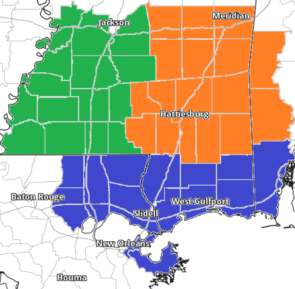
Team Green (southwest Mississippi counties) on the left
Team Orange (southeast Mississippi counties and southwest Alabama counties) in the middle
Team Blue (southeast Louisiana parishes and coastal Mississippi / Alabama) on the right


Where do you live at now and thanks for looking out for us back in perry county New Augusta Ms.