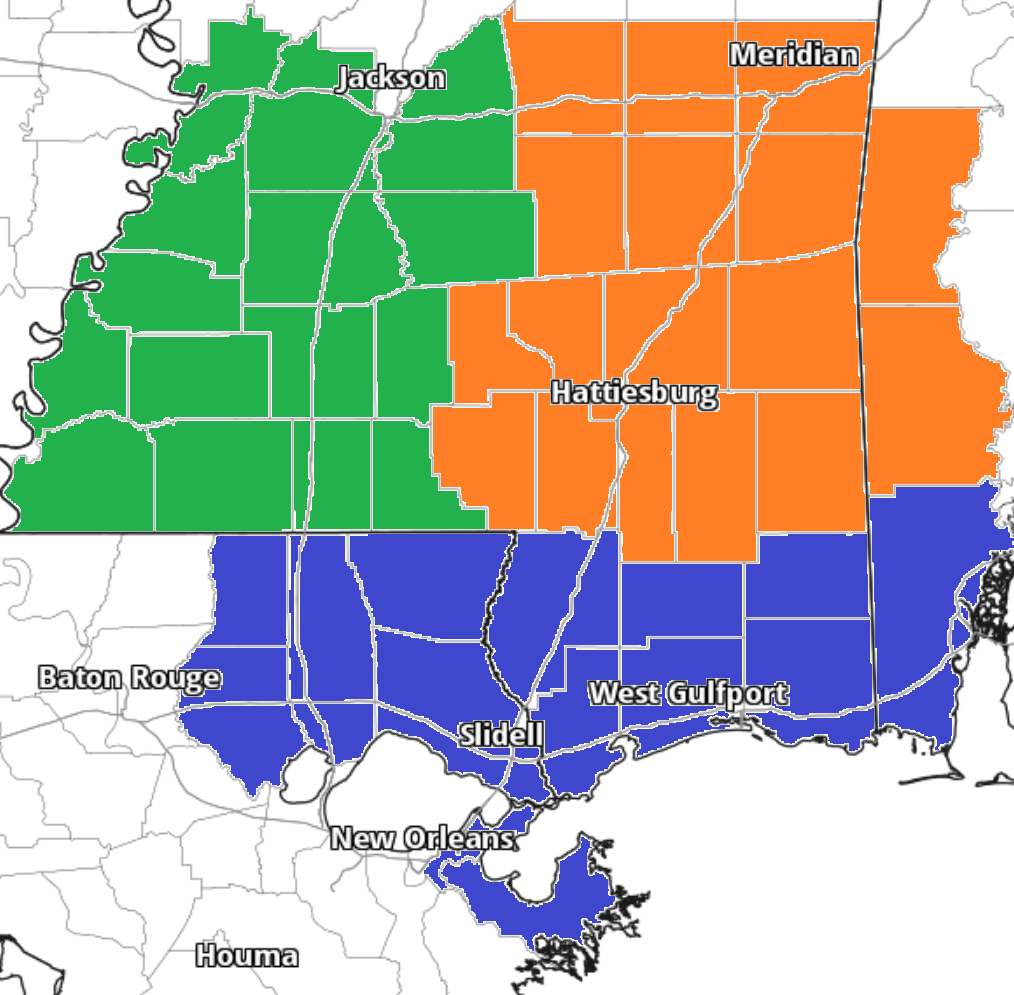
After a night of storms across the area, things should be a bit calmer today with another round of rain… but storms shouldn’t be quite as potent.

The map above is from 7p tonight, but storms will fire around 4p and likely linger through 10p tonight. Severe weather isn’t anticipated, but a few storms will pack some brief heavy rain, brief street flooding, lightning and wind gusts up to 50mph.
Saturday we may have another round of afternoon and evening storms before things look a tad drier to start next week, then more afternoon storms will be possible as we move through next week.
Zone-Specific Forecast
The interns have you covered with the zone-specific forecast!
Team Green (southwest Mississippi counties) on the left
Team Orange (southeast Mississippi counties and southwest Alabama counties) in the middle
Team Blue (southeast Louisiana parishes and coastal Mississippi / Alabama) on the right


