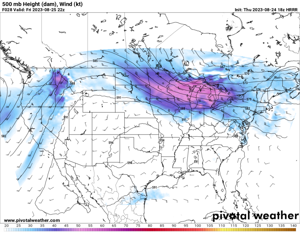
For those tired of the heat, Friday and Saturday will unfortunately not be of much relief. A ridging pattern is forecast to be centered over the southern Plains Friday and Saturday, which will bring hot temperatures throughout the southern Plains and much of the Gulf Coast states. Temperatures in some areas may reach as high as the mid 100s with heat indexes above 110.
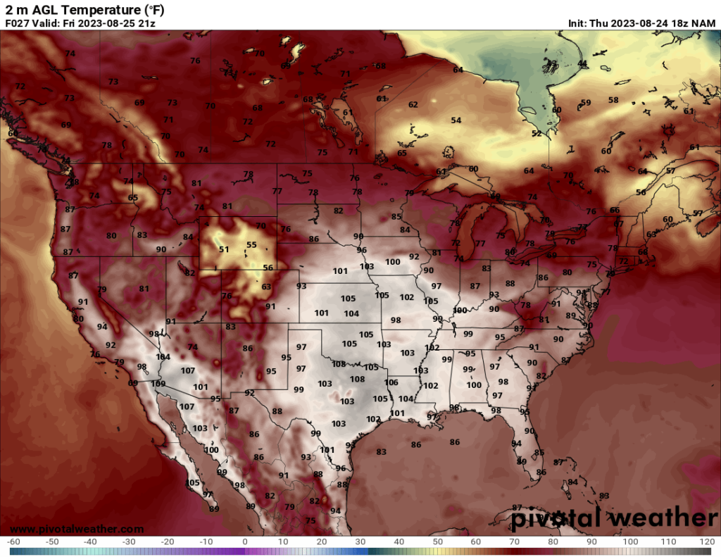
As the weekend progresses, a cold front will progress southward, bringing some relief to the Midwest and parts of the South and confining the high heat to the southernmost parts of the CONUS. It will also bring some precipitation to the central Plains and the Southeast.
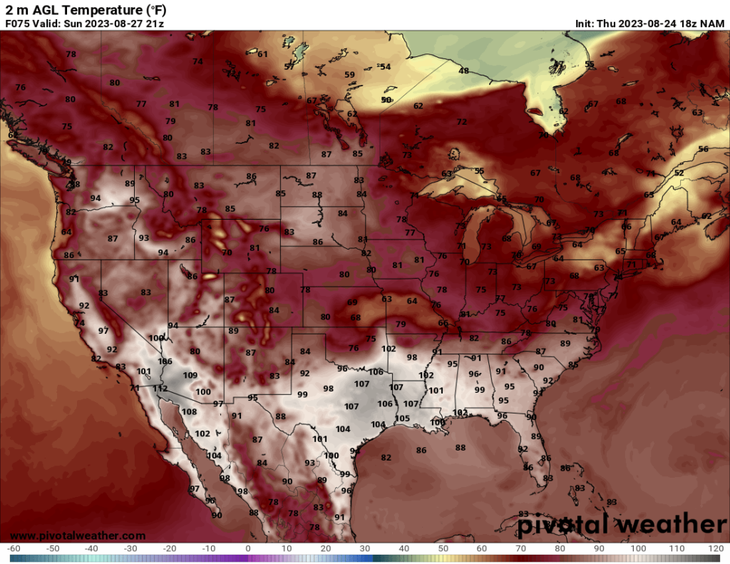
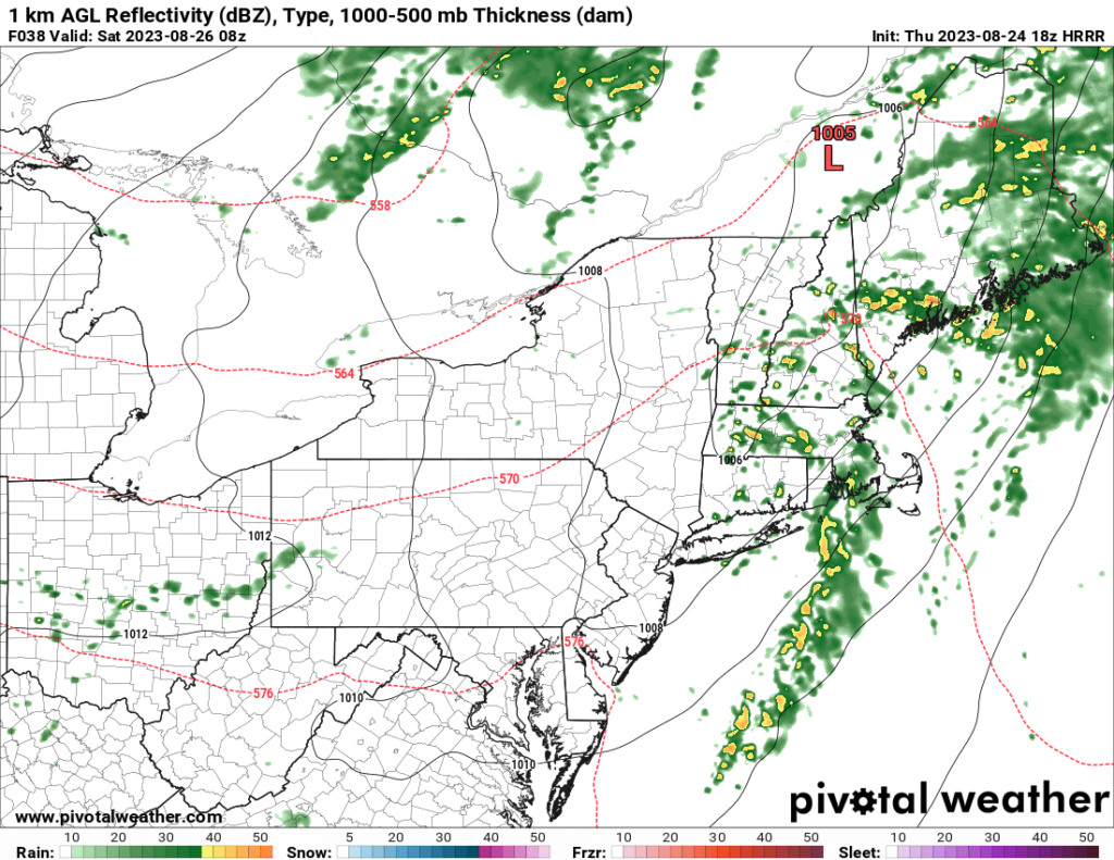
Meanwhile, parts of the Northeast, particularly New England, are expected to see below average temperatures in some places, with highs in the 70s and even the 60s in a few places. Precipitation will affect the area Friday and Friday night ahead of a trough moving through the area, with scattered showers and thunderstorms likely.
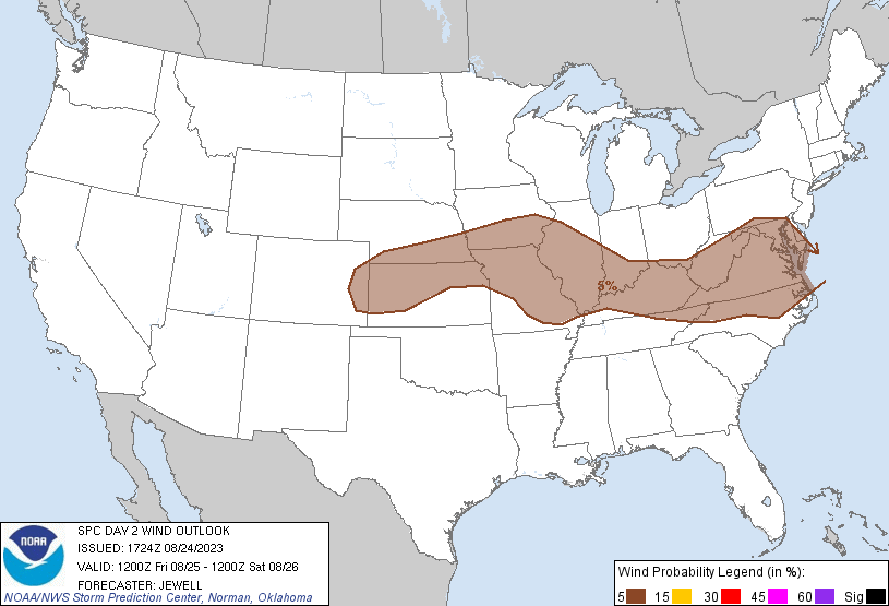
One additional area to look at is the Midwest. The Storm Prediction Center currently has a marginal risk for severe storms spanning much of the southern Midwest. Most of the threat will be for isolated damaging wind gusts.
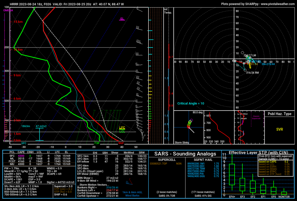
Strong upper level winds will be present over the northern Great Lakes states, which will provide shear there, but the higher instability levels will be further south. The best chance for severe storms will be where there is some overlap between CAPE and shear, but there is not a high amount of overlap between the shear and CAPE in the models at this time, which is one reason the SPC has only issued a marginal risk.
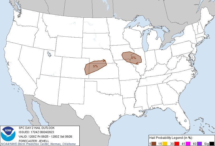
General model consensus shows somewhat discrete storms forming in Illinois and possibly southeast Iowa in the afternoon Friday and progressing southeast into Indiana and Kentucky. Some possibility for supercells exists during this time, which may provide a hail risk in addition to wind, hence the SPC’s 5% severe hail risk over the area. The HRRR model shows a more favorable setup for severe storms in Illinois than the NAMNEST model (these two models are my favorites for forecasting severe weather). Sufficient CAPE will be present, so the limiting factor will be shear. As the storms progress into the evening, they will become more linear (i.e. in a line instead of isolated), which will shift the primary risk towards damaging wind gusts.
The central Plains states may also see a marginal severe risk. In this area, CAPE will likely be the limiting factor, as shear values are more favorable for severe storms here than in Illinois, but the CAPE is lower. Models suggest a cluster of storms forming in the afternoon in northeast Colorado and progressing into NW Kansas and SW Nebraska by late afternoon. In this area, the NAMNEST model shows a more favorable setup for severe storms than the HRRR model, which highlights the disagreement the models have over the extent of severe weather, (another reason the SPC has the risk at marginal). The SPC predicts a 5% severe hail risk over this area in addition to the wind threat.
There is also a marginal severe risk that may be present further east into West Virginia, Virginia, and Maryland. The extent of this risk is uncertain, however, due to morning storms that are expected to pass through the area and should temporarily stabilize the atmosphere. The timing of the morning storms will likely play a role in the severe risk (the earlier they pass through, the more time the atmosphere has a chance to regain instability throughout the day). The SPC notes this uncertainty in their outlook for Friday, and because of this, I do not want to make any definitive statements about the severe risk there at this time. Those in the area should pay attention to the forecast tomorrow morning when the severe risk should become more clear.

