The past couple of days have been a fairly pleasant (yes, I know, still hot) break from the soupy weather that we’ve had over the week last week. We’re currently ridged over in the Gulf of Mexico which will keep the heat index down today, but the ridge will weaken and give way to some pretty high heat indices for Sunday into Monday. Let’s take a look.
Today, we’ll have our last day of low to mid 90s with the heat index to match. There will hardly be a cloud in the sky during the day which is a good indicator of the low humidity. If you’re outside today, wear some sunscreen but enjoy the drier Saturday!
Sunday is when things really begin to heat up. While there won’t be many clouds in the sky, temperatures will rise into the mid and upper 90s during the day with heat indices reaching 100 especially in the southern regions of the Pinebelt and in Louisiana. Due to the surface high, winds will shift towards the West during the day.

//Courtesy: Pivotal Weather
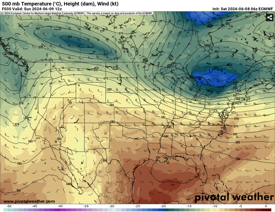
The ridge will break down and move east during the week, and that means moisture flow from the Gulf is ever-present again. An overnight shortwave will try to push into northern Mississippi from Sunday into Monday, however it will dissipate the further south it goes. Despite that, we’re going to see our old buddy the pop-up thunderstorm appear again during the week. Monday will only be the start of that. Temperatures will still be hot Monday with heat indices reaching the upper 90s, however an afternoon thunderstorm may come and cool us down.
Select Data Set:

Regional Day-to-Day Forecast
Today – Sunny, with a high in the mid 90s. Calm wind.
Tonight – Mostly clear, with a low around 70. Calm wind.
Sunday – Sunny, with a high in the mid 90s. Heat index values as high as 101. Calm wind becoming west around 5 mph.
Sunday Night – Mostly clear, with a low in the low 70s. Calm wind.
Monday – Scattered showers and thunderstorms in the afternoon. Mostly sunny, with a high in the mid 90s. Calm wind becoming north northwest around 5 mph in the afternoon.
Monday Night – Isolated showers and thunderstorms possible into the overnight hours. Partly cloudy, with a low in the upper 60s. North wind around 5 mph becoming calm. Chance of precipitation is 20%.
Tuesday – Isolated showers and thunderstorms in the afternoon. Mostly sunny, with a high near 91. East northeast wind around 5 mph.
Tuesday Night – Partly cloudy, with a low in the upper 60s. Northeast wind around 5 mph becoming calm.
Wednesday – Scattered showers and thunderstorms in the afternoon. Mostly sunny, with a high in the low 90s. Calm wind becoming southeast around 5 mph in the afternoon.
Wednesday Night – Isolated showers and thunderstorms. Partly cloudy, with a low in the low 70s.
Thursday – Scattered showers and thunderstorms. Mostly sunny, with a high in the upper 80s.
Thursday Night – Isolated showers and thunderstorms. Partly cloudy, with a low in the low 70s.
Friday – Scattered showers and thunderstorms. Mostly sunny, with a high near 90.


