To end off June, we’re going to feel plenty of heat for the rest of the week. The National Weather Service has already put out a Heat Advisory for the majority of Mississippi and parts of Louisiana and Arkansas. To top this off, we’ll have several rain chances throughout the week with a possible washout on Wednesday into Thursday.
To start off the week, we’ll see temperatures rise into the mid to upper 90s and the heat index rise into the low and mid 100s. Areas in the MS/LA/AR Delta will get the worst of the heat, but other parts of Mississippi and Alabama won’t be free from the heat stress.
The cold front over the mid-South will stall and give us some scattered thunderstorms on Monday and Tuesday.
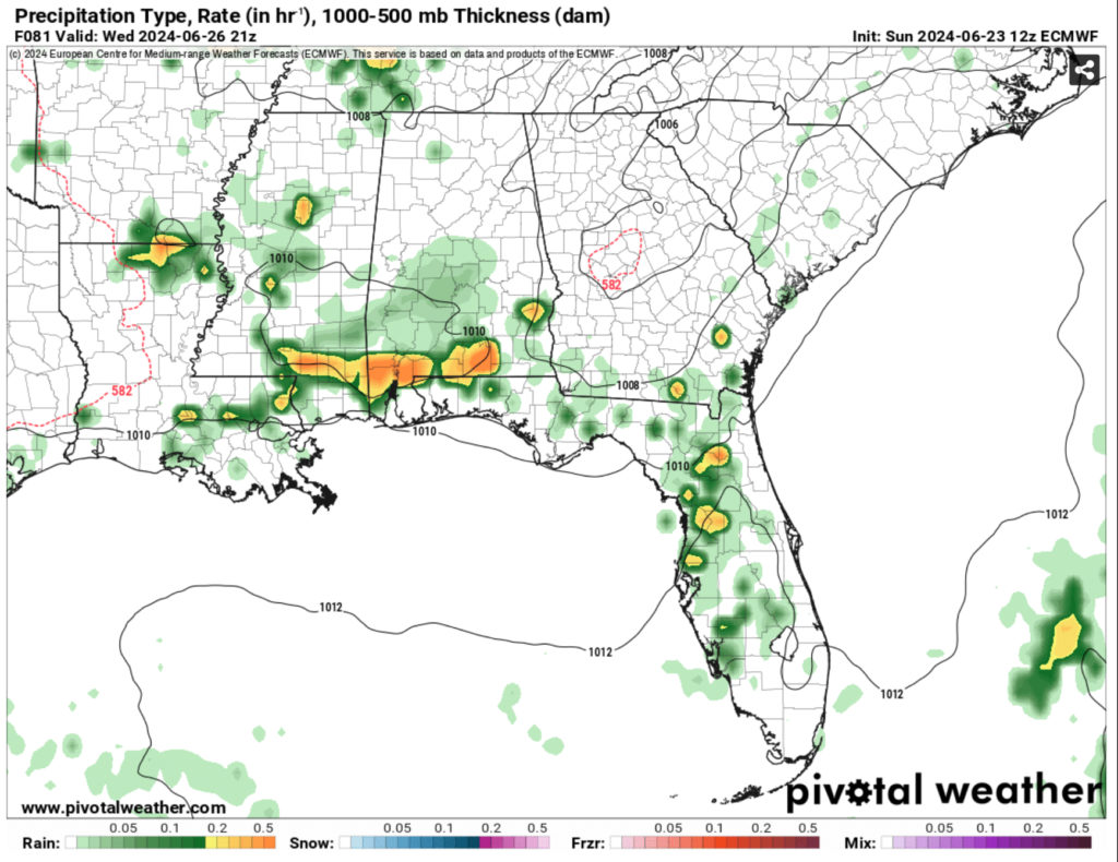
As the upper level ridge begins to retract on Wednesday, an enclosed surface low is forming out from the Plains and moving due East into the Southeastern US. The low is fairly tight and will bring plenty of convection and precipitable water with it, however it will start to dissipate as it moves towards the ridge. We may see some heavy pockets of rain out of the deal when it moves in.
From Thursday into the weekend, we’ll still see the heat stress with the heat index reaching the mid-100s each day. The rain chances will be diurnal meaning mainly afternoon thunderstorms. Another cold front will move in on Thursday into Friday, but the following one will stall out and cause some storms to develop on Sunday.

Overall, a hot and potentially stormy week ahead. Be sure to drink plenty of electrolytes, wear your sunscreen and keep an umbrella just in case.
Regional Day-to-Day Forecast
Tonight – Mostly clear, with a low in the mid 70s. Calm wind becoming southwest around 5 mph.
Monday – A chance of showers, with thunderstorms also possible in the afternoon. Sunny, with a high in the mid 90s. Heat index values as high as 105. Calm wind becoming northwest around 5 mph.
Monday Night – A chance of thunderstorms before sunset. Mostly clear, with a low in the mid 70s. Calm wind.
Tuesday – A chance of showers and thunderstorms in the afternoon. Sunny and hot, with a high in the upper 90s. Heat index values as high as 109. Calm wind becoming south southwest around 5 mph. New rainfall amounts of less than a tenth of an inch, except higher amounts possible in thunderstorms.
Tuesday Night – Partly cloudy, with a low in the mid 70s. South southwest wind around 5 mph becoming calm.
Wednesday – Showers and thunderstorms possible past mid-morning into the evening. Mostly sunny, with a high in the mid 90s. Calm wind becoming west around 5 mph. New rainfall amounts of less than a tenth of an inch, except higher amounts possible in thunderstorms.
Wednesday Night – A slight chance of showers and thunderstorms. Partly cloudy, with a low in the mid 70s. Calm wind.
Thursday – Showers and thunderstorms likely in the afternoon. Mostly sunny, with a high in the mid 90s. Calm wind becoming west around 5 mph.
Thursday Night – Mostly clear, with a low in the low to mid 70s. Calm wind.
Friday – A slight chance of showers and thunderstorms in the afternoon. Sunny, with a high in the mid 90s and heat index values around 105.
Friday Night – Mostly clear, with a low in the mid 70s.
Saturday – A slight chance of showers and thunderstorms. Mostly sunny, with a high in the mid 90s and heat index values up to 105.
Saturday Night – Partly cloudy, with a low in the mid 70s.
Sunday – Showers and thunderstorms possible. Mostly sunny and hot, with a high in the upper 90s with heat index values up to 105.


