Happy Monday! I hope everyone had a great weekend despite the heat we had. We will still see some high temperatures for the next couple of days, with highs in the upper 90s and heat indices around 110F. Scattered showers/storms will be possible in the afternoon hours throughout the week, which may provide some relief. But here’s some good news to follow up on the hot start! As the rain chances increase later this week, we should see a welcome cooldown from the extreme heat we have had the past several weeks. Let’s get into it!

OVER THE NEXT COUPLE OF DAYS:
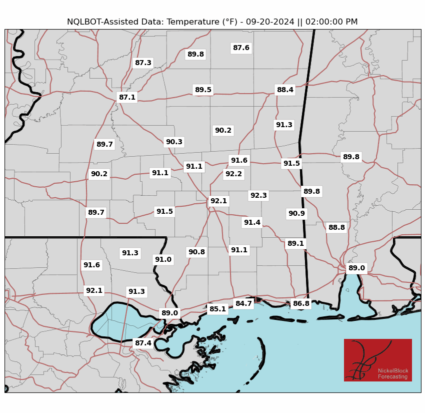
Highs for tomorrow are expected to range from the mid to upper 90s, but with humidity, it will feel even hotter. Scattered showers may affect some areas in the afternoon, with the highest chance being near the coast thanks to the moisture mixed with daytime heating. These showers/storms should bring some relief for the heat tomorrow.
Wednesday looks to be the same story. High temperatures with a chance for scattered storms in the afternoon to cool things off slightly. As we continue to move through the week, these showers/storms may become more organized with a mid-level trough dipping into the area. This will allow a cold front to move into our area and bring a higher chance for some stronger, but well-anticipated storms.
It is safe to say that most people in our region should expect some rain in the next couple of days between the pop-up showers in the afternoon and the chance for a more organized system to move through later this week. We will keep you up to date with all the details.
LOOKING FURTHER AHEAD:
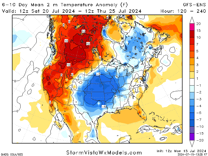
An area of low pressure is expected to develop over Texas as we move into the weekend and through next week. This will bring cooler temperatures to the Great Plains, the Midwest, and parts of the Southeast. Rain chances will also be on the higher side, with the possibility of more showers/storms through the area.
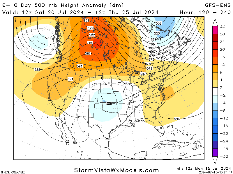
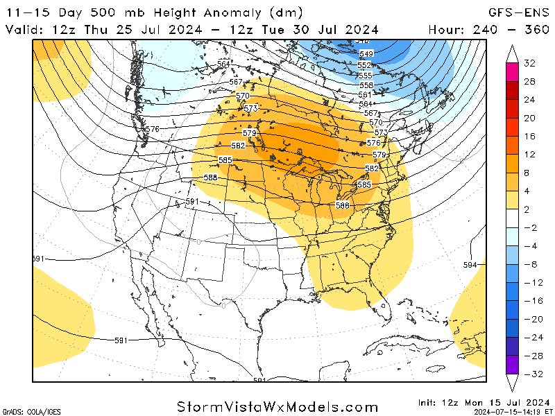
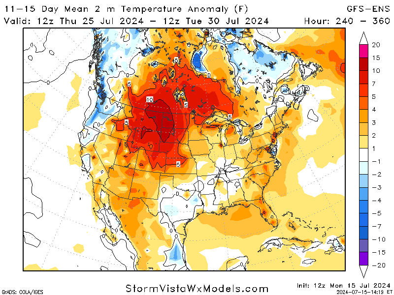
Jumping even further ahead to next weekend, the low pressure shifts westward to make room for a high-pressure ridge to move over the United States. While this is still too far to predict fully, we can expect temperatures to rise again, with occasional showers thrown in the mix.
BRIEF TROPICAL UPDATE:
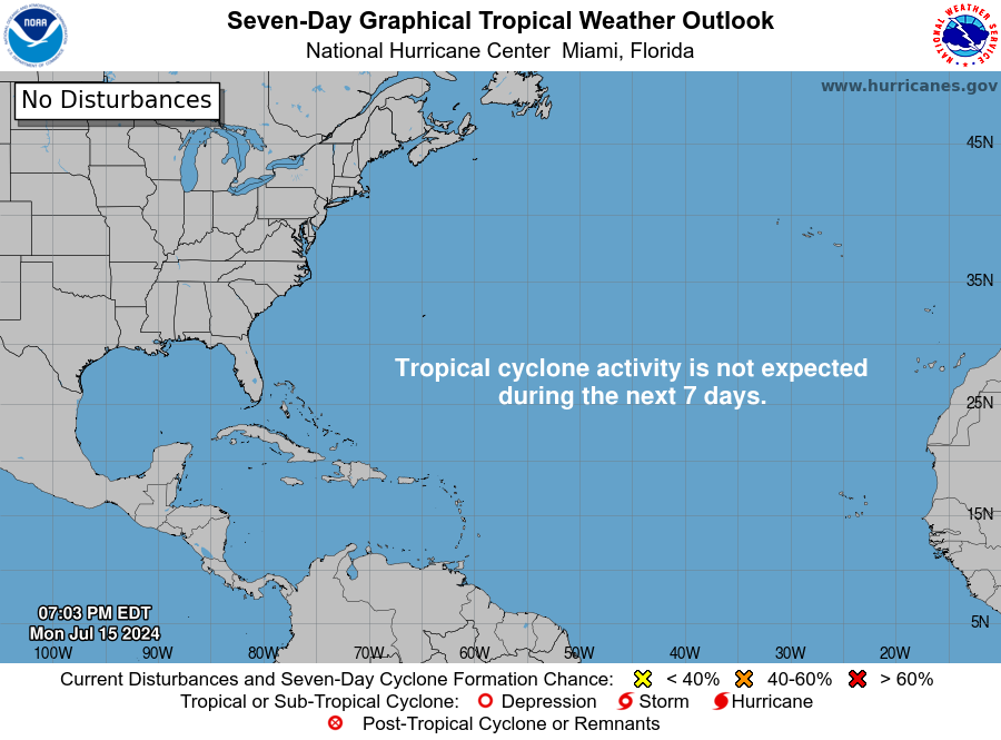
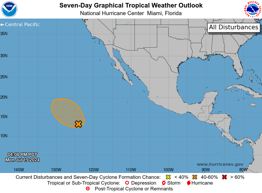
We still have no official disturbances in the Atlantic to follow. Still, an area in the Eastern Pacific is slowly strengthening as it moves westward further into the Pacific. This system that was just disorganized showers/storms has formed an area of low pressure in the middle of these storms. Conditions are favorable for development into a tropical depression around mid-week. This storm is not expected to impact the continental US, providing a sense of security, but it could potentially impact Hawaii as it keeps moving.
While there are no official disturbances, there are a couple of spots we are looking at that are worth mentioning. An area in the Caribbean may come up late next week with some disorganized showers/storms that could end up in the Gulf, but it is way too early to know any specifics.


