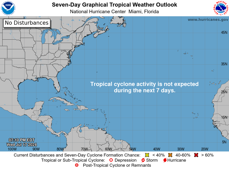
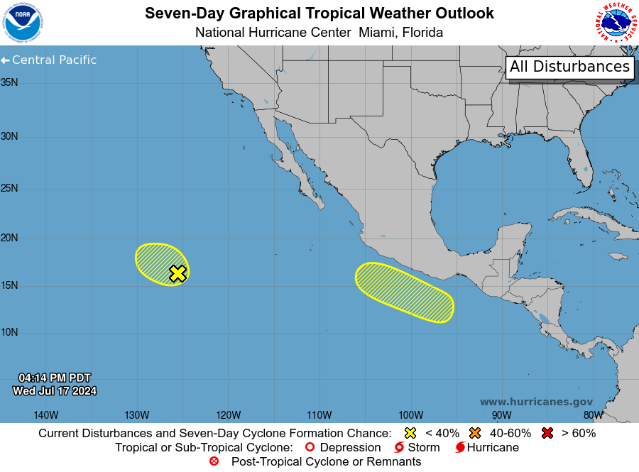
We are still quiet in the Atlantic, and the National Hurricane Center is not expected to highlight any areas of interest in the next seven days. Despite the lack of activity in the Atlantic, the Eastern Pacific is starting to stir, with two areas of interest that have a decent chance of further development.
EASTERN PACIFIC
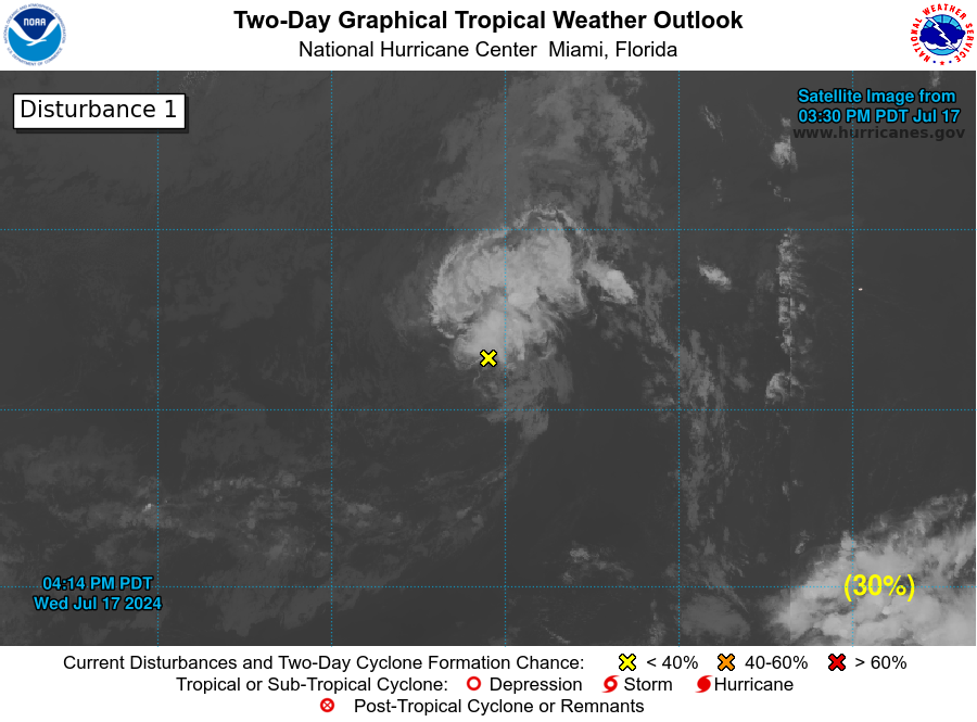
The first area, which has been on the NHC’s radar for a couple of days, is producing poorly organized showers and thunderstorms. While a short-lived tropical depression could still form during the next day or so, the window for further development is closing. The system is expected to encounter stronger upper-level winds and cooler waters by late Thursday. This system has a 30% chance of developing over the next week.
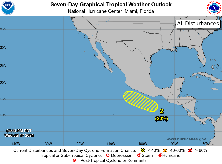
The second area shows signs that will likely lead to the formation of a low-pressure system this weekend. Some slow development of this system is possible early next week while it moves westward to west-northwestward at 10 to 15 mph. This system has a 20% chance of development over the next seven days.
ATLANTIC OVERVIEW
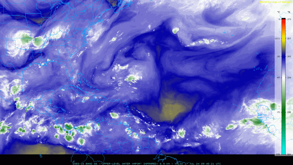
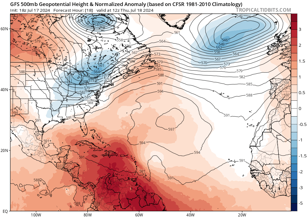
Jumping back to the Atlantic, an area of high pressure is situated over the center of the Atlantic Basin, which would help steer storms into the Gulf—if there were any storms to steer. There are some areas of loose showers/thunderstorms in the Caribbean and off the coast of Africa, but it is still too early to predict the next Hurricane while the atmosphere is not in shape for major development.
As we continue through Hurricane season, we will keep you updated as soon as we get word of a potential system. In the meantime, we will still monitor the Atlantic and see if we find any spots of interest that may be important to mention. We will not have any tropical impacts within the next week or potentially the next, so there is no need to worry!


