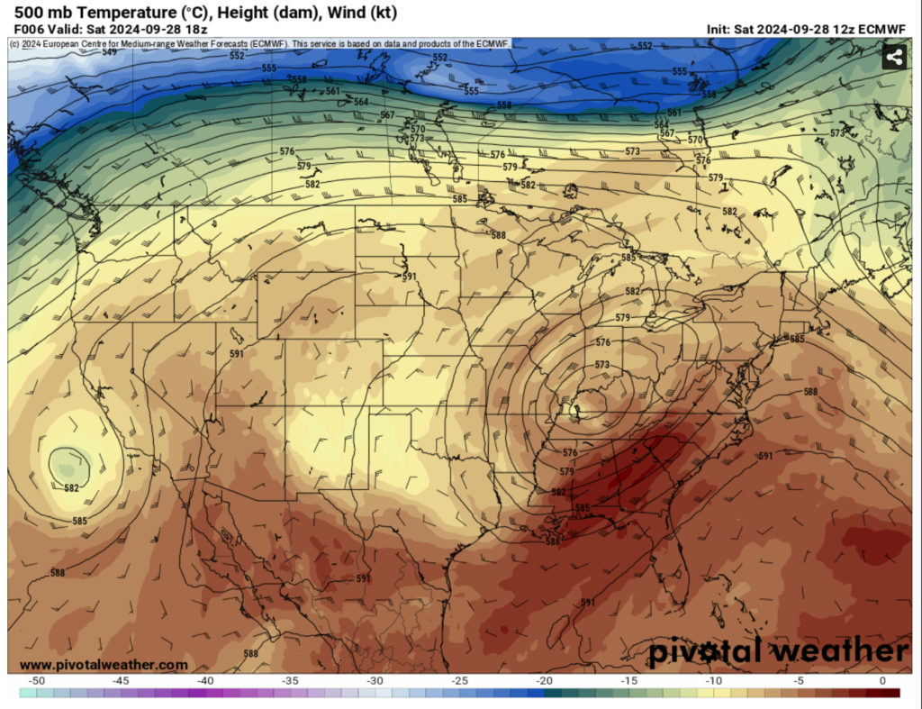
As the remnants of Helene are absorbed into the stout trough that pushed it further east, this will bring in some drier air to much of the southeastern US. The mid-Appalachians are still dealing with its heavy rainfall, and flood warnings and watches are all around North Carolina and Virginia. For us, however, we’re going to be warm and dry for the next several days.
//Courtesy: Pivotal Weather
Looking at the upper levels, the low pressure above is still fairly strong. This is fairly stacked with the surface meaning we’ll get some mixing and slightly gusty winds today. Areas of northern Mississippi may see a few showers associated with the low later today. Overall, today will be pretty warm, but nice with the breeze coming in from the west. Temperatures will reach the upper 80s with sunny skies and the mid 60s overnight with a few clouds.
Sunday will be a very similar story, however the winds will begin to wane a bit. Temperatures will reach the upper 80s with the heat index matching the temperatures, so at least it won’t be miserably hot. We’ll see a few clouds and some light westerly winds during the day. Overnight, the winds will shift towards the north and fall into the mid 60s.
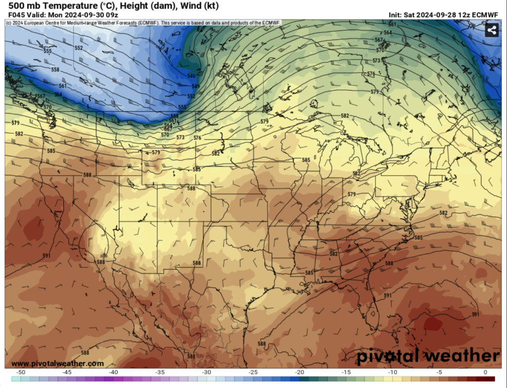
Looking into Monday, not much has changed, however a dry front will move through the southeast. This won’t do a lot to change temperatures and we’ll still be quite warm. Temperatures will be in the upper 80s during the day with some increasing clouds from the front. Winds will be from the west northwest and temperatures will fall into the mid 60s overnight.
Enjoy your weekend!
Regional Day-to-Day Forecast
This Afternoon – Sunny, with a high in the upper 80s. West wind around 10 mph, with gusts as high as 20 mph.
Tonight – Mostly clear, with a low in the mid 60s. West wind around 5 mph becoming calm in the evening.
Sunday – Sunny, with a high in the upper 80s. Calm wind becoming west around 5 mph in the afternoon.
Sunday Night – Mostly clear, with a low in the mid 60s. Northwest wind around 5 mph becoming calm.
Monday – Mostly sunny, with a high in the upper 80s. Calm wind becoming west northwest around 5 mph in the afternoon.
Monday Night – Mostly clear, with a low in the mid 60s. Calm wind.
Tuesday – Sunny, with a high in the upper 80s. Calm wind becoming north around 5 mph in the morning.
Tuesday Night – Mostly clear, with a low in the upper 60s. North wind around 5 mph.
Wednesday – Sunny, with a high in the upper 80s. North northeast wind 5 to 10 mph.
Wednesday Night – Mostly clear, with a low in the mid 60s.
Thursday – Sunny, with a high in the mid to upper 80s.
Thursday Night – Partly cloudy, with a low in the mid to upper 60s.
Friday – A 20 percent chance of showers and thunderstorms. Mostly sunny, with a high in the low to mid 80s.


