Looking at the Big Picture this morning, a strong high-pressure system is currently over West Texas and northern Mexico, while a low-pressure system is moving into the northern Plains and Great Lakes. This setup is causing thunderstorms in the Midsouth to dive toward us.
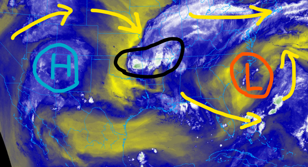
By afternoon, the high humidity will aid local isolated storm development, and then the storm system in the Midsouth will also plow through the region.
Right now, the timeline on rain and storms looks to break down like this:
– Isolated storms between 11a and 7p
– cluster of storms moves through between 5p and 9p
We could see some more storms in the area through Thursday with a weak cold front (strong for this time of year) moves through. It may ofer just enough of a bump to fire off some more storms.
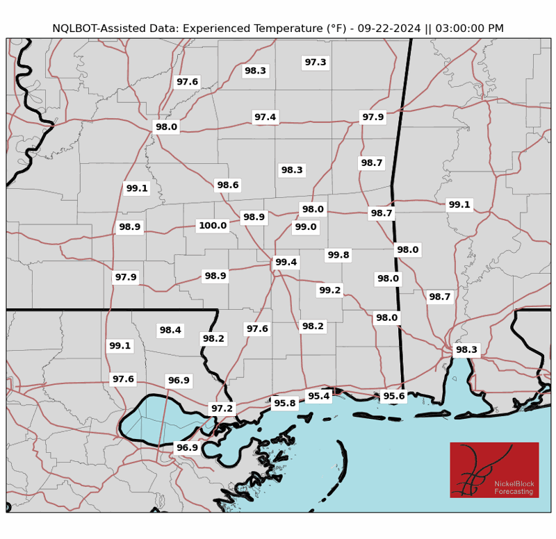
But just as soon as the cold front moves through, the impacts are gone. Friday is hot again. High pressure builds back into the area and afternoon highs will be in the low to mid-90s and Experienced Temperatures — which take sunshine, wind, humidity, and dewpoint into account with the temperature — will be back above 100 degrees.

That should hold through the weekend.
REGIONAL DAY TO DAY FORECAST
Today: Partly sunny. A slight chance of showers and thunderstorms this morning, then showers and thunderstorms likely this afternoon. Highs in the mid 90s. West winds 5 to 10 mph. Chance of rain 60 percent. Heat index values up to 108.
Tonight: Partly cloudy with a chance of showers and thunderstorms. Humid with lows in the mid 70s. Southwest winds around 5 mph. Chance of rain 40 percent.
Thursday: Showers and thunderstorms likely. Humid with highs in the upper 80s. West winds around 5 mph. Chance of rain 70 percent.
Thursday Night: Partly cloudy. A chance of showers and thunderstorms, mainly in the evening. Humid with lows in the lower 70s. Southwest winds around 5 mph. Chance of rain 50 percent.
Friday: Mostly sunny. A slight chance of showers and thunderstorms in the morning, then a chance of showers and thunderstorms in the afternoon. Humid with highs in the lower 90s. Southwest winds 5 to 10 mph. Chance of rain 50 percent.
Friday Night: Partly cloudy. A slight chance of showers and thunderstorms in the evening. Lows in the mid 70s. Chance of rain 20 percent.
Saturday: Mostly sunny with a chance of showers and thunderstorms. Highs in the lower 90s. Chance of rain 40 percent. Heat index values up to 105.
Saturday Night: Partly cloudy. Lows in the mid 70s.
Sunday: Mostly sunny. A slight chance of showers and thunderstorms in the morning, then a chance of showers and thunderstorms in the afternoon. Highs in the mid 90s. Chance of rain 50 percent. Heat index values up to 110.
Sunday Night: Mostly cloudy with a slight chance of showers and thunderstorms in the evening, then partly cloudy after midnight. Lows in the mid 70s. Chance of rain 20 percent.
Monday: Mostly sunny. A slight chance of showers and thunderstorms in the morning, then a chance of showers and thunderstorms in the afternoon. Highs in the mid 90s. Chance of rain 50 percent. Heat index values up to 110.
Monday Night: Partly cloudy. A slight chance of showers and thunderstorms in the evening. Lows in the mid 70s. Chance of rain 20 percent.


