We have a much, much calmer week ahead with cooler, drier weather. I’m personally ecstatic after how humid it was last week, but I digress. There’s an interesting setup that’s much different from the past few weeks that’ll keep us under seasonal norms.
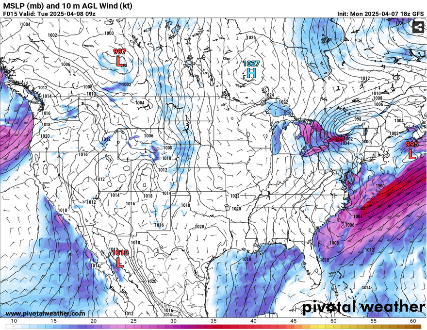
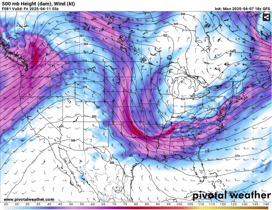
Overhead in the upper levels, there’s a trough moving in bringing more polar air towards the central Plains to the south. This will bring more northerly winds to our area and keep temperatures down for the next few days. The ridge will begin to lose amplitude and allow the winds to die down at the surface. However, this will change as another ridge begins to build in the Rockies and a trough develops over the Deep South. This one won’t be much of a threat to us as it forms nearly right over us. What this does mean is that we’ll get a brief chance of rain and cooler temperatures over the weekend.
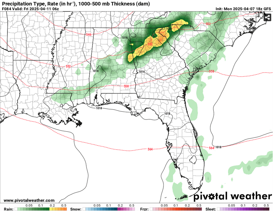
Over the next several days, it’ll be much cooler and drier with few clouds in the sky. Low temperatures will be in the low to mid 40s tonight and tomorrow night and warm from the low 70s to mid 70s by Wednesday. Thursday will be slightly warmer as the winds shift towards the west southwest with temperatures in the low 80s, however conditions will be drier than the 80s we felt last week. With the trough I mentioned earlier, Friday will be more gusty with 20mph wind gusts possible and a slight chance of rain, however it’s looking fairly slim thanks to a high pressure system colliding with the cold front in the Gulf of Mexico. Temperatures will cool down again to the mid 70s during the day and fall to the upper 40s overnight. Expect a windy night as well.
Select Data Set:

Regional Day-to-Day Forecast
Tonight – Mostly clear, with a low in the low 40s. North northwest wind around 5 mph becoming calm after midnight.
Tuesday – Sunny, with a high in the low 70s. Light northwest wind becoming north northwest 5 to 10 mph in the morning.
Tuesday Night – Clear, with a low around 40. North northwest wind around 5 mph becoming calm in the evening.
Wednesday – Sunny, with a high in the mid 70s. Calm wind.
Wednesday Night – Clear, with a low in the upper 40s. Calm wind.
Thursday – Sunny, with a high in the low 80s. Calm wind becoming west southwest around 5 mph in the morning.
Thursday Night – Mostly clear, with a low in the mid 50s. West southwest wind around 5 mph becoming northwest after midnight.
Friday – Sunny, with a high in the mid 70s. A slim chance of rain in the early morning. Northwest wind 5 to 15 mph, with gusts as high as 20 mph.
Friday Night – Clear, with a low in the upper 40s. North northwest wind 5 to 10 mph becoming light north after midnight. Winds could gust as high as 20 mph.
Saturday – Sunny, with a high in the low 70s.
Saturday Night – Clear, with a low in the mid 40s.
Sunday – Sunny, with a high in the low 80s.
Sunday Night – Clear, with a low in the mid 50s.
Monday – Sunny, with a high in the mid to upper 80s.


