Well that thing in the Gulf stopped moving east. The good news is that it still doesn’t look like much of a potential threat.

From the NHC:
1. Northeastern Gulf of Mexico (AL91):
Showers and thunderstorms associated with a low pressure area over
the northeastern Gulf of Mexico have become a little more
concentrated during the past several hours. Environmental
conditions appear marginally favorable for some slow development
over the next day or so as the system meanders over the northeastern
or eastern Gulf of Mexico. However, by this weekend environmental
conditions are forecast to become unfavorable for additional
development as the system drifts southeastward towards the Florida
Peninsula. Regardless of development, the system could produce heavy
rainfall and gusty winds over portions of the Florida Peninsula
through this weekend. An Air Force Reserve Hurricane Hunter aircraft
is scheduled to investigate the system on later today, if
necessary. Additional information on the rainfall and flooding
potential can be found in products issued by your local National
Weather Service forecast office and Excessive Rainfall Outlooks
issued by the Weather Prediction Center.
* Formation chance through 48 hours...low...20 percent.
* Formation chance through 7 days...low...20 percent.
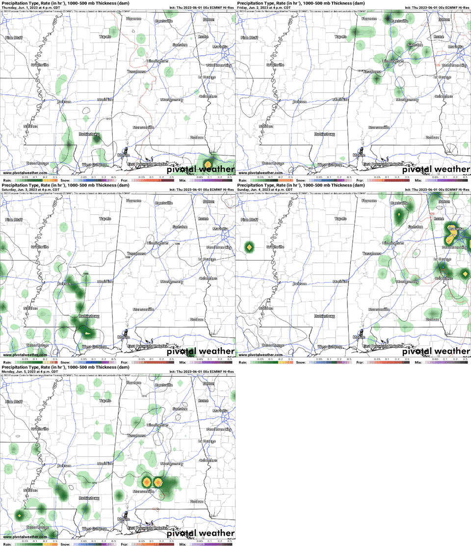
As of now, the computer weather model guidance suggests that we won’t see much development out of this thing, either.

It is something to watch, for certain, but nothing to worry about at this time. Instead, continue to enjoy the early Summer-like weather. Though, it won’t be quite as nice in the coming days as it was this past weekend given the influence of the thing in the Gulf.


Over the coming days it will be wrapping around some Gulf air and shunting toward the coast and some of that will leak inland. We will have ‘feels like’ temperatures in the 80s and 90s – since the humidity is coming back – with a few showers and storms in the area each day. Not enough to cancel plans, but certainly enough to warrant keeping an eye to the sky while you enjoy any outdoor plans.
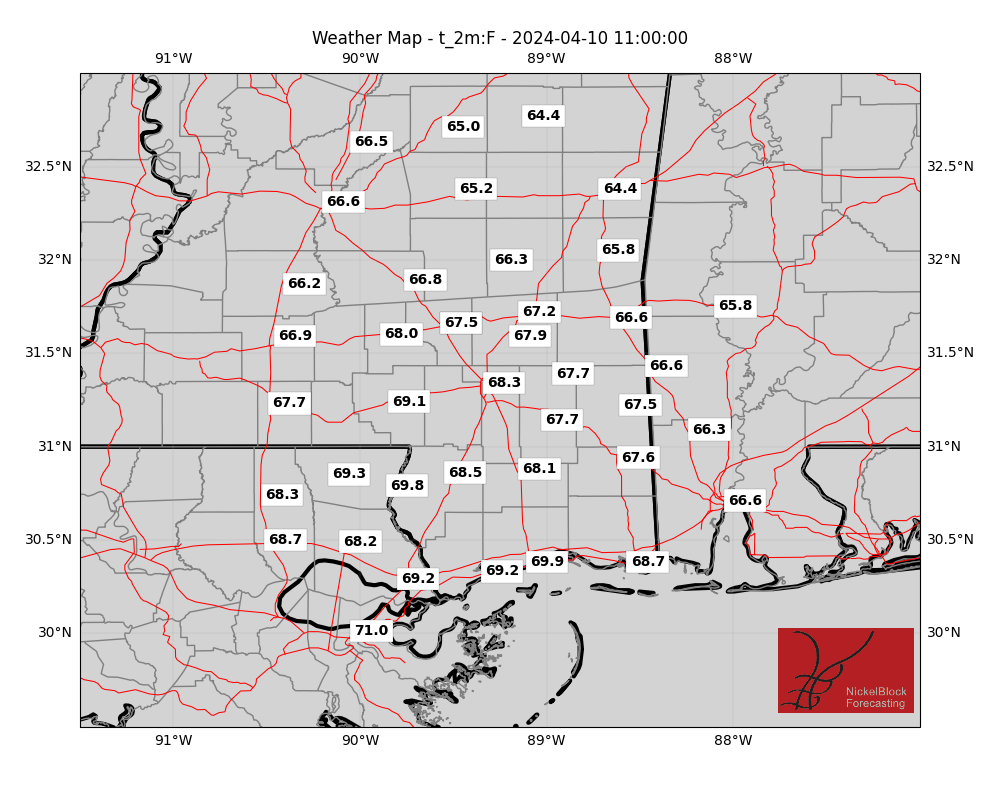
EXTRA WEATHER MAPS
Here is a look at some extra weather data!
Select Data Set:

If you’d like to see any weather data in particular here, make a request! I’ll do my best to see what I can find.
REGIONAL DAY TO DAY FORECAST
Today: Partly sunny with a chance of showers and thunderstorms. Highs in the mid 80s. East winds 5 to 10 mph. Chance of rain 40 percent.
Tonight: Mostly cloudy in the evening, then becoming partly cloudy. Lows in the mid 60s. Northeast winds around 5 mph.
Friday: Sunny. Highs in the lower 90s. Northeast winds 5 to 10 mph.
Friday Night: Mostly clear. Lows in the upper 60s. North winds around 5 mph.
Saturday: Sunny. Highs in the lower 90s. North winds 5 to 10 mph.
Saturday Night: Mostly clear. Lows in the upper 60s.
Sunday: Sunny. Highs in the mid 90s.
Sunday Night: Partly cloudy in the evening, then becoming mostly clear. Lows in the upper 60s.
Monday: Sunny. A slight chance of showers and thunderstorms in the afternoon. Highs in the mid 90s. Chance of rain 20 percent.
Monday Night: Partly cloudy in the evening, then becoming mostly clear. Lows in the upper 60s.
Tuesday: Sunny. A slight chance of showers and thunderstorms in the afternoon. Highs in the lower 90s. Chance of rain 20 percent.
Tuesday Night: Partly cloudy. Lows in the upper 60s.
Wednesday: Sunny. A slight chance of showers and thunderstorms in the afternoon. Highs in the lower 90s. Chance of rain 20 percent.

