No major changes to the forecast during the last 24 hours. We are still looking dry and warm.
We’ve got a high-pressure system hanging out over the Southeast, and that means it’s all about the dry weather and above-average temperatures for our neck of the woods. Expect mostly clear skies, and if you’re south of I-20, there’s a slight chance of some patchy fog and low clouds in the morning. As the day progresses, temperatures will climb into the mid to upper 80s, and in some spots, we might even nudge 90! Moisture is creeping up a bit, so we’re not too concerned about fire weather. All in all, it’s looking like a warm and dry day.
In fact, it will be pretty warm through the next few days.
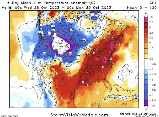
Thursday through the weekend, the dry weather continues – though it won’t be quite as warm. That said, we are still looking at temperatures 10 to 15 degrees above average. Daily highs will be in the mid 80s.
As we move into Monday and Tuesday, a cold front is slated to kick through the area. But right now it doesn’t look like it will offer much rain as it passes. It will be more of a temperature-changer than a rain-maker.
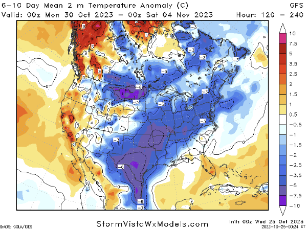
And, right now, it looks like temperatures will fall back from highs around 85 to highs around 65. It means everyone will be posting those memes on social media that look like this:
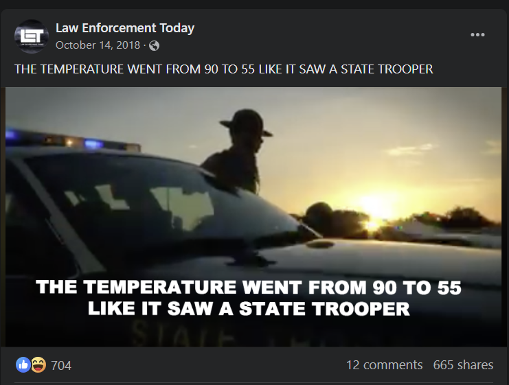
You’d think after about five years of the same joke, we’d all get tired of it. But I don’t think we ever will.
The map above does a pretty good job at highlighting the drastic change from 10F warmer than normal to 10F cooler than normal.
Teh cooler air doesn’t hang around long, though. As we move through mid-week next week and toward next weekend, we should start to warm things back up again.
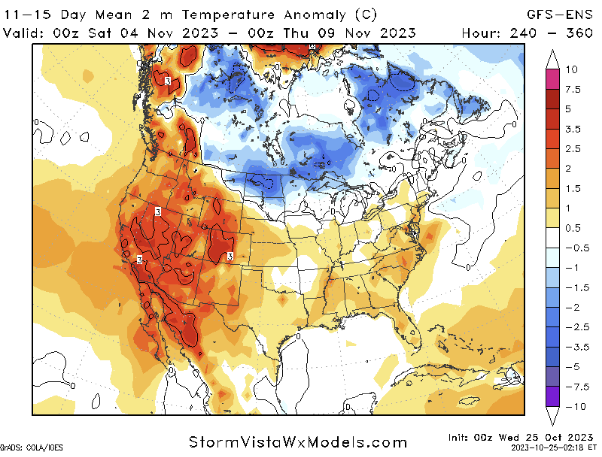
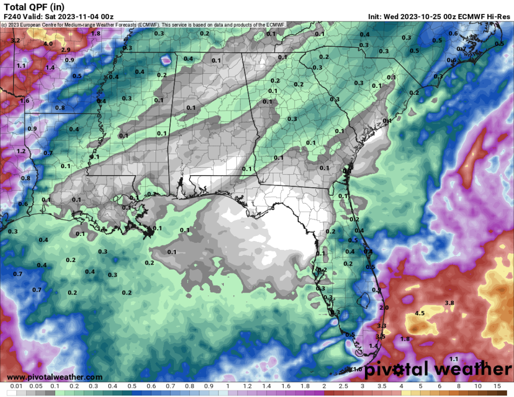
For those looking for rain, unfortunately, there isn’t much out there in the model guidance to find.


Ha! Love the “extras” you throw in for a laugh here & there! Thanks for all that you do!