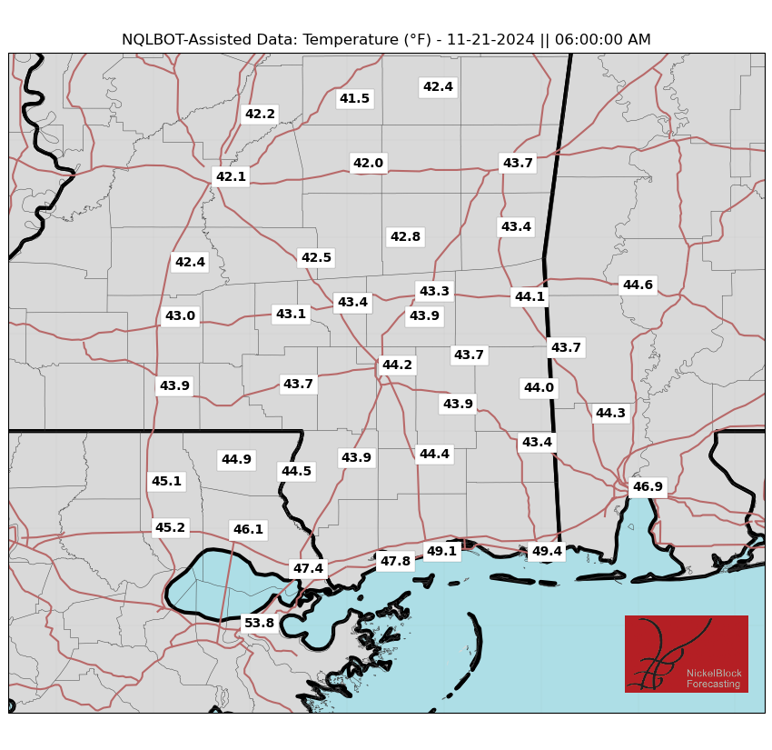
It’ll be another seasonably chilly morning tomorrow. Expect to wake up to temperatures in the 40s. A few folks may see some upper 30s here and there, but it looks like we will hold on to too much wind tonight for some really good radiational cooling.
This weekend will feature a chilly start as a strong trough swings eastward, bringing cooler air and breezy conditions. Friday night as winds calm and skies clear leading to a patchy frost or a light freeze for places near and north of I-20. Even if you live in places where a frost or freeze aren’t possible, it’ll be a good night to bring the plants inside.
The weekend will see a gradual warming trend as high pressure settles in. Highs will climb well into the 70s by Sunday. Expect a mix of chilly mornings and seasonably mild afternoons as we transition to the new week.
REGIONAL DAY TO DAY FORECAST
Tonight: Clear. Much cooler with lows in the lower 40s. Northwest winds 10 to 15 mph.
Thursday: Sunny. Highs in the mid 60s. Northwest winds 10 to 15 mph with gusts up to 25 mph.
Thursday Night: Clear. Lows in the lower 40s. Northwest winds 5 to 10 mph.
Friday: Sunny. Highs in the lower 60s. Northwest winds 5 to 10 mph.
Friday Night: Clear. Lows in the mid 30s.
Saturday: Sunny. Highs in the mid 60s.
Saturday Night: Clear. Lows around 40.
Sunday: Sunny. Highs in the lower 70s.
Sunday Night: Mostly clear in the evening, then becoming partly cloudy. Not as cool with lows in the mid 50s.
Monday: Mostly sunny. Highs in the upper 70s.
Monday Night: Mostly clear in the evening, then becoming partly cloudy. Lows around 60.
Tuesday: Mostly sunny. Highs in the upper 70s.


