Hello from London! So far my work trip has been very interesting. I’ve learned a lot about how forecasting the weather while overseas works. They need a much different information than we do in the states — not many hurricanes and tornadoes over here!
Anyway! Back to the Gulf Coast!
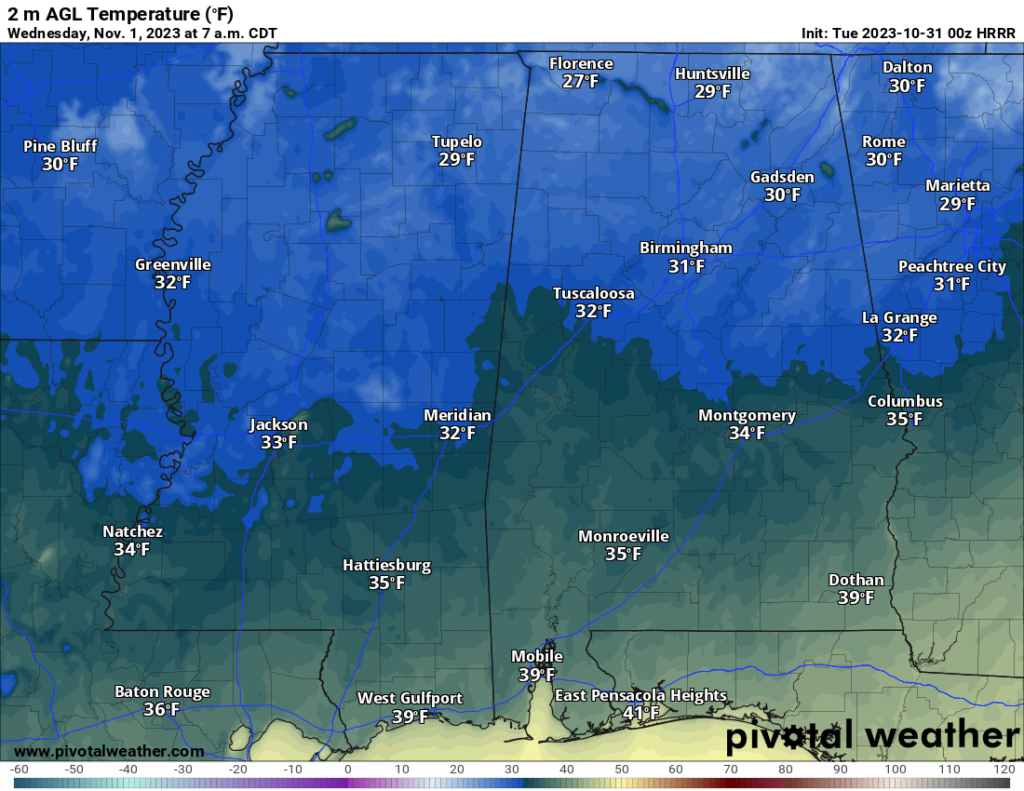
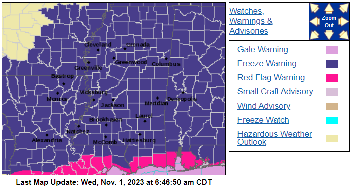
You are likely waking up to temperatures in the 30s this morning. It’s going to be consistently colder than what’s usual today and tonight — and no rain’s expected. We’ve got fire weather concerns today due to the dry conditions and wind. Then overnight tonight, temperatures, in some spots, may end up below freezing tonight.


Early this morning, it was pretty dry with a cold front pressing through the area with a pretty stout 1032 ridge set up across the Plains shoveling the cold air our direction. We’re expecting the first freeze of the season in the northern half of the area soon as a result. Despite the upper level trough moving east of Mississippi, the cooler weather should still stick around for the night. Northwest winds will lighten up as a high-pressure center moves southeastward and settles over our area this evening.

Thursday morning might break some records in terms of low temps in the same spots that wedre near record highs just last week. I’m not sold on frost given the wind and the low dewpoints, but I think it would be a safe bet to move plants inside if possible (and if you haven’t already) for today and tonight.
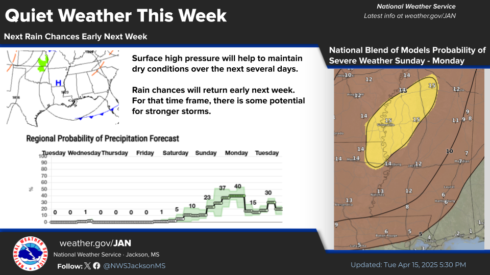
Thursday to next Tuesday: We’ll see a rather calm weather pattern over the next few days. After a chilly start to the week, it’ll gradually warm up. By next Monday, temperatures will likely be above normal, with highs ranging from the mid-70s to around 80, and lows in the 50s. Towards next Tuesday, models hint at the possibility of another cold front rolling in with a slight chance of rain, but the chances are pretty slim for now.


Top noch forecast