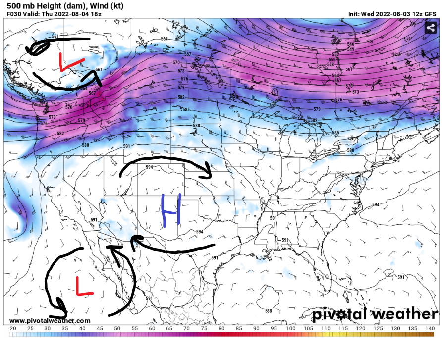
Hello everyone, the high-pressure system in the west still causing problems of providing hot weather for the western and Central United States. Meanwhile, the Ohio Valley and Midwest will still have more stormy weather for today. Then in the Northwest, there are multiple factors happening to have a critical fire danger.

Ohio Valley Stormy Weather
In the morning, there will be heavy and widespread rain will be at Missouri to Arkansas and Tennessee. Then later in the day, there will be storm developing near the cold front providing a lift for these storms by creating a scattered thunderstorms and showers in the Ohio Valley to the Northeast.
Fire weather in the Northwest
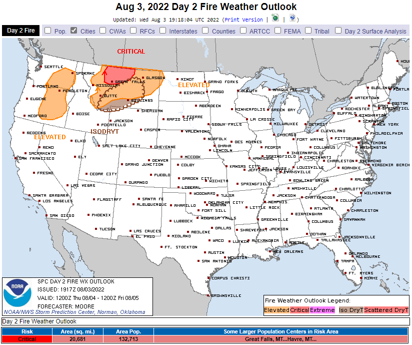
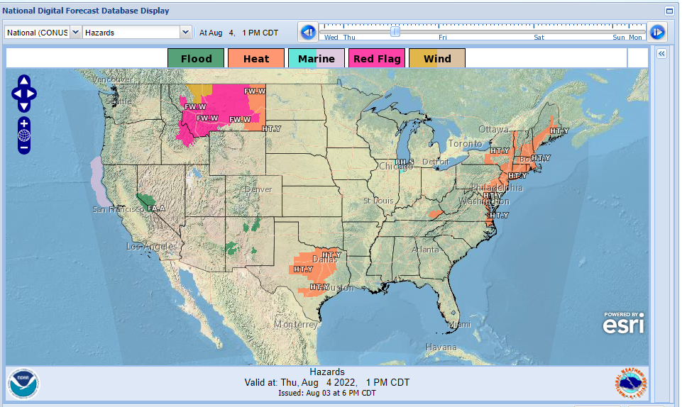
In the Northwest, there will be a very hot, dry and windy day for the states under a chance of having a fire in their state. There will be a critical fire danger in Northern Montana with multiple factors on having this critical fire danger. First, Montana and some parts of Idaho will be under Excessive Heat Warning as the temperatures will be above average. The temperatures will be in upper 90s and low 100s. Second, the wind speeds are expected to be upwards of 25 kts for Northern Montana. Third, from yesterday CONUS forecast Gabriel Taylor mentioned about the US drought monitor. There is some extreme drought in Northern Montana that plays a factor of very dry vegetation that might catch on fire, easily.

Day 2 Fire Weather Outlook // Courtesy: NOAA Storm Prediction Center 
National Digital Forecast Database // Courtesy: National Weather Service
Heavy Rainfall throughout United States
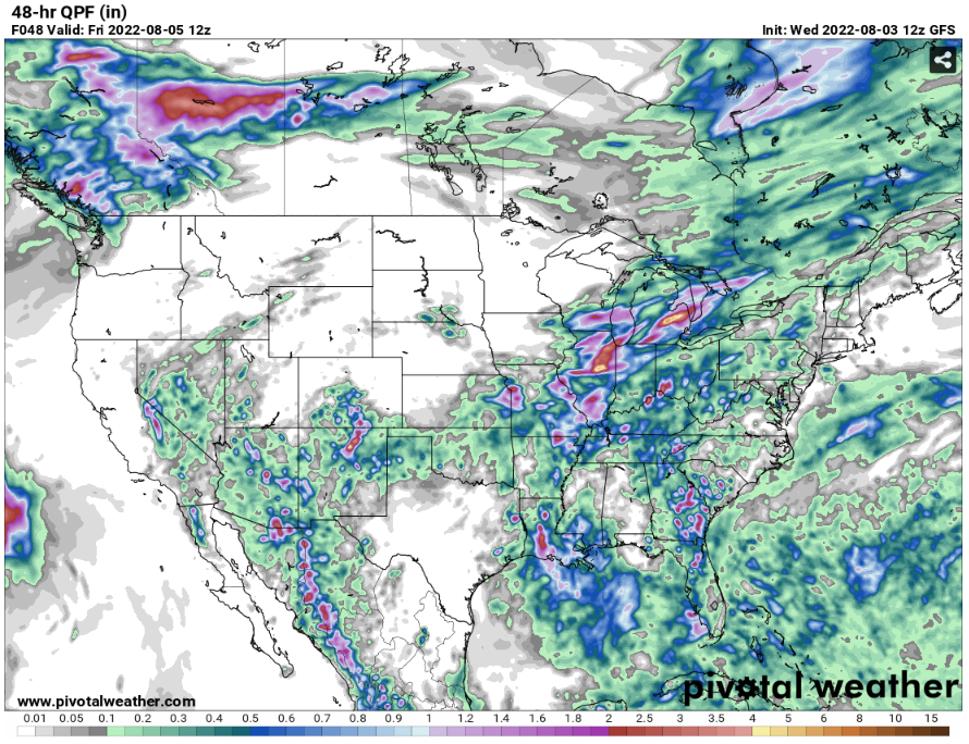
There will be some heavy rainfall will be happening throughout United States. In some parts of New Mexico and Arizona, will get up to 2 to 3 inches of rain for today. From my weather hazard picture above, there will be some parts of New Mexico will be under a flood watch for today. There will be heavier rain in the Midwest and Ohio Valley states. The rainfall estimates for today will be from 2 up to 6 inches of rainfall for today.


