If you are sick of the heat, I have some good news. A cold front to the north of us is expected to move and stall in our region for the next day or two. This will bring some relief from the heat, with high temperatures expected to hover around the low 90s, which is much closer to our average for this time of year. Looking at our rain chances, most of the area should expect scattered showers and thunderstorms, as the center of low above us will allow for rain chances to be possible over the next couple of days. Looking at the tropics, there are currently two areas of disturbances in the Atlantic Ocean Basin. We will be keeping an eye on these potential systems.
Some relief from the heat for now
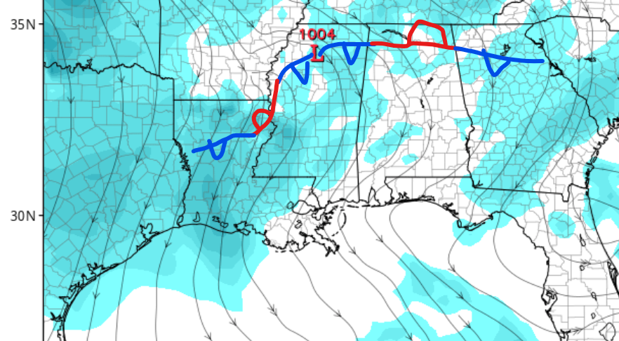
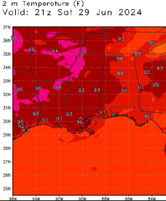
Looking at our temperature forecast, I have some great news. A cold front associated with a center of low has stalled above our location, creating a stationary front. This has allowed for slightly cooler temperatures to move into our region. Temperatures for today should stay in the low 90s, which is typical for this time of year. Areas along the coastline should remain below 90 degrees Fahrenheit. Heat index values for today should be around 100 degrees Fahrenheit. Looking at Friday and the weekend, the low-pressure system is forecasted to move east, which will, unfortunately, cause our temperatures to rise again into the mid-90s by this weekend. This is thanks to a ridge of high pressure that’s expected to set up in our region by the weekend. If you need to get stuff done outdoors, please try to complete these tasks by tomorrow.

More rain expected through the weekend.
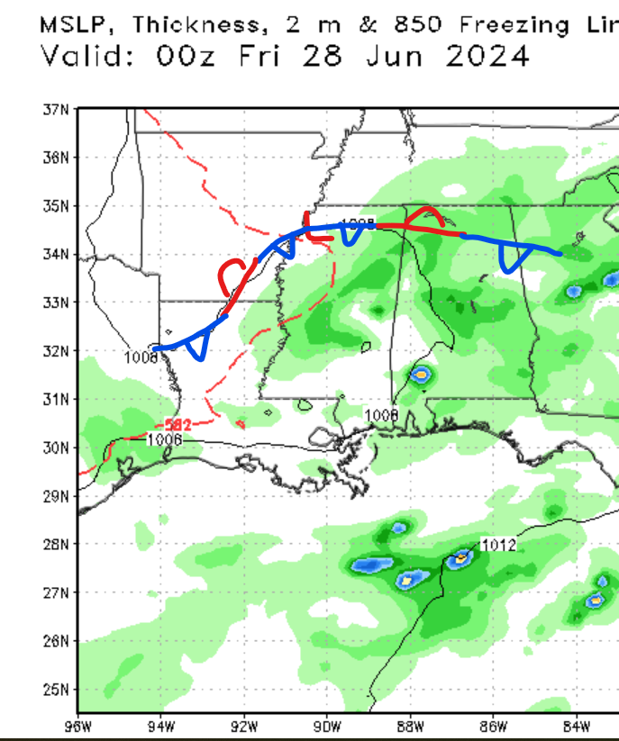
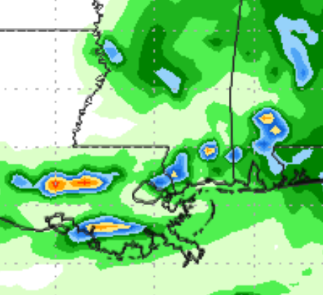
Looking at our rainfall chances, most of the area should expect scattered showers and possibly a rumble of thunder or two. The low-pressure system to the north should moderate our rain chances through the weekend as this upper-level low-pressure system moves to our east. This weekend, a high-pressure ridge is expected to set up in our region. This should lower our rain chances; however, the region’s high moisture level should allow for widely scattered showers through the weekend.
Looking into the future and the tropics


Looking through this weekend and into next week, the models agree that temperatures are expected to be above average for this time of year. This is thanks to the high-pressure ridge that is expected to develop to the north of our region. Because of this setup, tropical air will likely move into our area, increasing the air temperatures and the heat index values.

Looking at the tropics, we have 2 disturbances in the Atlantic Ocean. The first disturbance is in the Gulf of Mexico, which is currently an area of disorganized showers and thunderstorms. As this system moves northwest, Some possible development is expected over the next few days. The second system in the Atlantic Ocean is likely to develop in the next several days. I would not be surprised if we see a tropical storm by the end of this weekend, as atmospheric conditions and ocean temperatures are allowing for development. If you want more information on the tropics, make sure to check out our tropical weather discutions.
Overall, I expect temperatures in our region to climb to above-average values through this weekend. Due to the high moisture content, I anticipate showers and thunderstorms will form each afternoon. Remember that these storms will be scattered in nature; thus, you may not see any rainfall through the weekend. We are keeping a close eye on this potential tropical system in the Atlantic Ocean, so please read our tropical weather discussions to receive the latest hurricane information.


