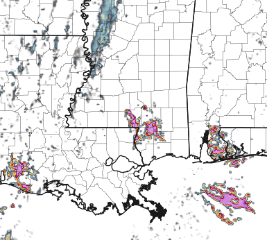
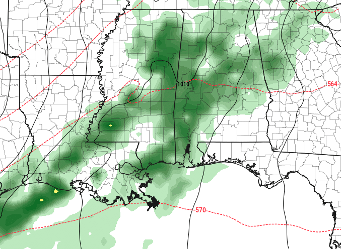
The lingering drizzle and light rain will wrap up in the morning. Then we should start to clear things out a bit, but will still be mostly cloudy. That should hold temperatures down a bit today, too. Highs will top out round 60F.
The low-pressure system causing the recent wet weather will move east of our area, and a bit of high pressure will build in behind it. As we clear things out, though, it may allow some fog to build in as we move through the overnight hours tonight.

The next front should swing through Friday afternoon into early Saturday morning. The front brings a chance of rain to our region during this period, but we are only talking about occasional drizzle and light rain. It won’t be terribly meaningful.
By Saturday, high pressure takes over, shaping our weather for most of the weekend. Expect slightly cooler conditions and a drier atmosphere. Things will warm up again on Sunday night as high pressure moves east, and southerly winds kick in.


The chance of showers and storms increases late Sunday into Monday. A robust low-pressure system and its associated trough will move east across the plains, hitting our region from Monday through Wednesday. This will spawn a surface low and drag a strong cold front through our area from late Monday into Tuesday. While there might be some struggle for instability in our region ahead of the system, there’s enough wind shear and forcing to bring the potential for isolated severe storms late Monday into Monday night.
Beyond that, we dry back out again.

