Today and tonight, you’ll notice the warm tropical air mass has returned to our area. Dew point values are back up around 75 to 80. Humid stuff. That means a combo of warmer afternoon temperatures and humidity should spark off a handful of showers and storms.
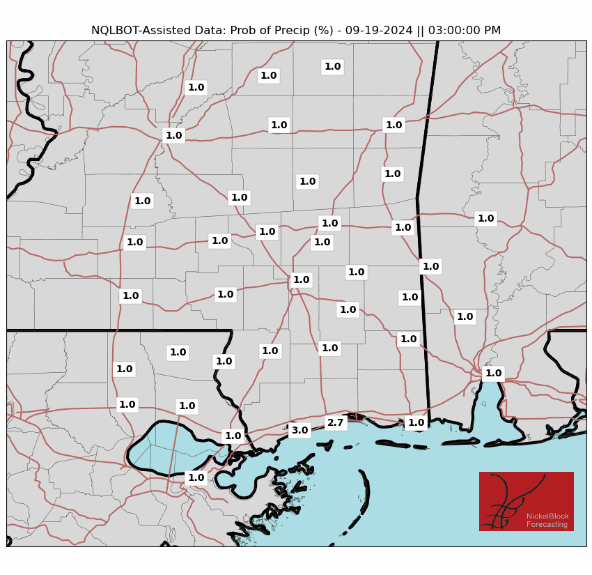
That also means a pretty wide spread on afternoon temperatures. Looking at the temperatures for 3p and the chance for rain at 3p, you can see how unevenly distributed each is.

For spots that don’t see any rain before noon, the mid to upper 90s will be possible, and combined with the humidity, will produce heat index values around 110°F, with some areas reaching 115-120°F. In the Interstate 59 corridor, where rain chances are expected to start earlier, a Heat Advisory is in effect. For the rest of the area, an Excessive Heat Warning is in place through the evening.
High moisture levels and dry air aloft will create conditions favorable for steep temperature differences and high instability in the atmosphere. Although severe storms are not expected due to weak upper-level winds, there is a threat of damaging wind gusts with any stronger thunderstorms that develop today.
High pressure will continue to move east through the region, maintaining control of our weather. As it does, deep moisture will flow into our area, keeping humidity levels high and increasing chances for showers and storms each afternoon. A frontal boundary will move south into the region by Friday afternoon, stalling over the weekend and into early next week, bringing an increased shot for rain.
Dangerous heat stress will persist Thursday into Friday, with temperatures reaching the low to mid-90s both days. Combined with high humidity, this will result in afternoon heat index values climbing above 100°F, particularly on Thursday when indices will range from 106-115°F across the area. Therefore, a Heat Advisory and an Excessive Heat Warning are in effect for most of the area on Thursday, Independence Day.
As the frontal boundary moves in on Friday afternoon, scattered showers and storms will provide some relief from the heat. With slightly drier air moving into the northern parts of the area and increased rainfall, temperatures will range from the upper 80s to mid-90s, providing more widespread relief from the oppressive heat. Early next week, deep moisture will return to the area ahead of another frontal boundary expected to move in from the northwest by Tuesday night.
BRIEF ON BERYL
The NHC forecast this morning continues to show Beryl moving to the west-northwest and toward the Yucatan. Today and tomorrow it will skirt by Jamaica and bring some very dangerous wind, heavy rain, and high storm surge to the island. The last time it took a strike from a MAjor Hurricane was Hurricane DEan back in 2007. Jim Edds, an author and photojournalist covering hurricanes for decades, tweeted that he was there for that one and it buried the Kingston Airport in five feet of sand.

We are entering the window where we can really start to remove areas from landfall, too.
I previously mentioned that florida was fine. That is still true. Georgia and Alabama are also in the clear now from a direct strike, too. I would also argue that Louisiana and Mississippi are there – though I suppose we can’t 100% rule it out. In another 24 hours we will know for certain.
Texas – as indicate by the cone – is not in the clear and, instead, is in the forecast cone. In fact, the cone stretches from Matagorda Bay all the way down to south of Tampico, Mexico.. If you are in the forecast cone, it is time to be readying your Hurricane Kit and preparing for a potential landfall.
Secondary impacts are still TBD.
That would include any rainfall across the central Gulf Coast as Beryl wraps around the ridge over us and moves off to the northeast.
REGIONAL DAY TO DAY FORECAST
Today: Partly sunny with a chance of showers and thunderstorms this morning, then mostly cloudy with showers and thunderstorms likely this afternoon. Highs in the lower 90s. Temperature falling into the mid 80s this afternoon. Southeast winds around 5 mph. Chance of rain 40 percent.
Tonight: Mostly cloudy with a slight chance of showers and thunderstorms in the evening, then partly cloudy after midnight. Humid with lows in the mid 70s. South winds around 5 mph in the evening, becoming light and variable. Chance of rain 20 percent.
Independence Day: Partly sunny. A chance of showers and thunderstorms in the morning, then showers and thunderstorms likely in the afternoon. Humid with highs in the mid 90s. Southwest winds around 5 mph. Chance of rain 40 percent.
Thursday Night: Partly cloudy in the evening, then clearing. Humid with lows in the mid 70s. Southwest winds around 5 mph.
Friday: Mostly sunny. A slight chance of showers and thunderstorms in the morning, then showers and thunderstorms likely in the afternoon. Humid with highs in the mid 90s. Southwest winds around 5 mph. Chance of rain 50 percent. Heat index values up to 110.
Friday Night: Mostly cloudy with a chance of showers and thunderstorms in the evening, then partly cloudy with a slight chance of showers and thunderstorms after midnight. Lows in the mid 70s. Chance of rain 30 percent.
Saturday: Mostly sunny. A chance of showers and thunderstorms in the morning, then showers and thunderstorms likely in the afternoon. Highs in the lower 90s. Chance of rain 30 percent. Heat index values up to 110.
Saturday Night: Mostly cloudy with a chance of showers and thunderstorms in the evening, then partly cloudy after midnight. Lows in the mid 70s. Chance of rain 20 percent.
Sunday: Mostly sunny. A slight chance of showers and thunderstorms in the morning, then showers and thunderstorms likely in the afternoon. Highs in the mid 90s. Chance of rain 30 percent. Heat index values up to 110.
Sunday Night: Mostly cloudy. A chance of showers and thunderstorms in the evening. Lows in the mid 70s. Chance of rain 30 percent.
Monday: Mostly sunny. A chance of showers and thunderstorms in the morning, then showers and thunderstorms likely in the afternoon. Highs in the mid 90s. Chance of rain 40 percent. Heat index values up to 110.
Monday Night: Partly cloudy. A chance of showers and thunderstorms, mainly in the evening. Lows in the mid 70s. Chance of rain 30 percent.
Tuesday: Mostly sunny. A chance of showers and thunderstorms in the morning, then showers and thunderstorms likely in the afternoon. Highs in the lower 90s. Chance of rain 30 percent. Heat index values up to 110.


