A strong northeastern ridge has been keeping us hot and without any precipitation for the past few days. This will still stay true for the next day or so as temperatures will top out in the mid to upper 90s and heat indices in the 100s for this early into the Summer. The good news is that we’ll finally get some relief from the heat, but when it rains, it pours.
Today, we’ll have temperatures in the mid to upper 90s and a slight chance of a pop-up thunderstorm. These will be fairly unorganized and likely won’t move much unless they get a gust front strong enough to pop up a few more. Lows will reach the low 70s with winds out of the east.
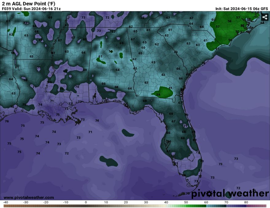
//Courtesy: Pivotal Weather
As the ridge starts to move east, we’ll see a change in the winds as they shift towards the southeast on Sunday. This will reduce the high temperature a bit, but the heat index will still likely reach the high 90s to low 100s. Temperatures will be slightly higher if you live towards central Mississippi and northward. Rain chances will also be on the increase during the day as the dewpoint rises into the 70s and the tropical wave I mentioned earlier starts to approach the coastline. Areas closer to the coast will see the majority of the rain Sunday into Sunday night.

Monday is our main chance of rain and thunderstorms. Overall totals look to be around 2 inches from Sunday into Tuesday, but more may be possible. The wave itself is moving further west towards Texas, but areas in south Louisiana will see most of the rain before the wave is done. Some wind gusts up to 20-25mph are possible with all the rain. Highs will reach the low 80s during the day and low 70s overnight. Be sure to bring an umbrella with you and watch for flooded roadways!
Select Data Set:

Regional Day-to-Day Forecast
Today – Isolated showers and thunderstorms possible in the afternoon. Sunny and hot, with a high in the mid to upper 90s. Heat index values as high as 102. Calm wind becoming east around 5 mph in the afternoon.
Tonight – Isolated showers and thunderstorms possible after sunset. Mostly clear, with a low around 73. Southeast wind around 5 mph becoming calm.
Sunday – A slight chance of showers and thunderstorms in the afternoon. Increasing clouds, with a high in the low 90s. Heat index values as high as 101. Light east wind becoming southeast 5 to 10 mph in the morning. Winds could gust as high as 20 mph. New rainfall amounts of less than a tenth of an inch, except higher amounts possible in thunderstorms.
Sunday Night – A chance of showers and thunderstorms. Mostly cloudy, with a low in the low 70s. Southeast wind 5 to 10 mph. Chance of precipitation is 40%.
Monday – Showers and thunderstorms possible starting in the morning. High in the mid 80s. Southeast wind 5 to 10 mph, with gusts as high as 20 mph. New rainfall amounts between 1 and 2 inches possible.
Monday Night – A chance of showers and thunderstorms. Mostly cloudy, with a low in the low 70s. Southeast wind around 5 mph becoming calm.
Tuesday
A chance of showers and thunderstorms in the afternoon. Mostly cloudy, with a high in the upper 80s. East wind 5 to 10 mph, with gusts as high as 20 mph.
Tuesday Night – A slight chance of showers before midnight. Mostly cloudy, with a low in the low 70s. East wind around 5 mph.
Juneteenth – A chance of showers and thunderstorms in the afternoon. Partly sunny, with a high near 90. East wind 5 to 10 mph, with gusts as high as 20 mph.
Wednesday Night – Mostly cloudy, with a low in the low 70s.
Thursday – Sunny, with a high in the low 90s.
Thursday Night – Mostly clear, with a low in the low 70s.
Friday – A slight chance of showers and thunderstorms. Sunny, with a high in the low to mid 90s.


