Today and tonight, a high-pressure system over the Mississippi Valley and a surface ridge extending from the southern Appalachians will keep temperatures warm across our region. Fire danger remains “Limited” due to dry conditions.
There is the outside shot for a few showers and storms, but I wouldn’t bet the farm.
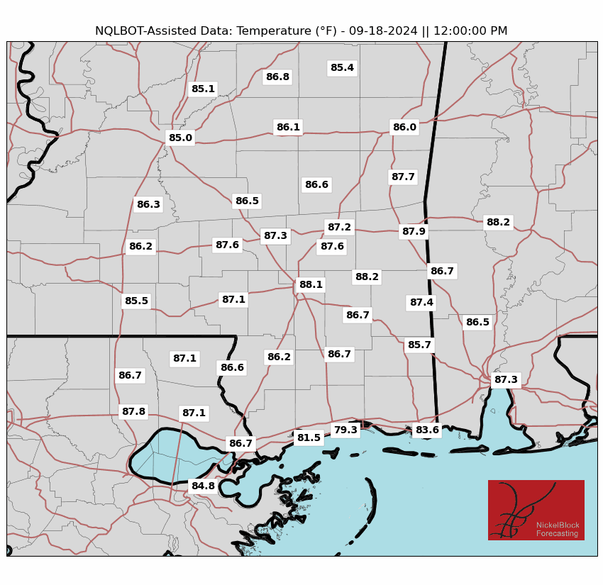

Even tomorrow, things look just as warm. With maybe a few extra showers in the area.
The shot for rain will increase, particularly south of I-20, as we close out the week and move through the weekend. Tehre is a little area of low pressure meandering around the Gulf that may fling some extra showers and storms our direction.
By Sunday or Monday, a cold front could move in. We are still trying to nail down exactly how far south it will make it before fizzling out. And even if it gets here, it doesn’t have any early indications that it would make much of an impact on temperatures.
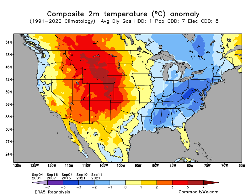
That said, looking out past the next two weeks, there is a chance for another shot of cooler air. Temperatures would actually drop into the 80s – and be dry – if this were to shake out.
That said, I’m still pretty skeptical. Often the “First Fall Cold Front” doesn’t show up for another four to five weeks.
REGIONAL DAY TO DAY FORECAST
Today: Partly sunny. A chance of showers and thunderstorms this afternoon. Highs in the mid 90s. Northeast winds 5 to 10 mph. Chance of rain 20 percent.
Tonight: Mostly cloudy with a slight chance of showers and thunderstorms in the evening, then partly cloudy after midnight. Humid with lows in the mid 70s. Southeast winds around 5 mph in the evening, becoming light and variable. Chance of rain 10 percent.
Wednesday: Partly sunny with a chance of showers and thunderstorms. Highs in the lower 90s. East winds 5 to 10 mph, becoming southeast in the afternoon. Chance of rain 30 percent.
Wednesday Night: Mostly cloudy in the evening, then becoming partly cloudy. A slight chance of showers and thunderstorms. Humid with lows in the lower 70s. Southeast winds around 5 mph in the evening, becoming light and variable. Chance of rain 20 percent.
Thursday: Mostly sunny. A slight chance of showers and thunderstorms in the morning, then a chance of showers and thunderstorms in the afternoon. Humid with highs in the lower 90s. Southeast winds 5 to 10 mph. Chance of rain 20 percent.
Thursday Night: Mostly cloudy with a slight chance of showers and thunderstorms in the evening, then partly cloudy after midnight. Patchy fog after midnight. Lows in the lower 70s. Chance of rain 10 percent.
Friday: Partly sunny. A slight chance of showers and thunderstorms in the morning, then a chance of showers and thunderstorms in the afternoon. Highs in the lower 90s. Chance of rain 30 percent.
Friday Night: Mostly cloudy in the evening, then becoming partly cloudy. A slight chance of showers and thunderstorms. Patchy fog after midnight. Lows in the lower 70s. Chance of rain 20 percent.
Saturday: Mostly sunny with a chance of showers and thunderstorms. Highs in the lower 90s. Chance of rain 30 percent.
Saturday Night: Partly cloudy. A slight chance of showers and thunderstorms in the evening. Lows in the lower 70s. Chance of rain 10 percent.
Sunday: Mostly sunny. A slight chance of showers and thunderstorms in the morning, then a chance of showers and thunderstorms in the afternoon. Highs in the lower 90s. Chance of rain 40 percent.
Sunday Night: Partly cloudy. A slight chance of showers and thunderstorms in the evening. Lows in the lower 70s. Chance of rain 20 percent.
Labor Day: Mostly sunny. A slight chance of showers and thunderstorms in the morning, then showers likely with a chance of thunderstorms in the afternoon. Highs in the lower 90s. Chance of rain 30 percent.
15-DAY OUTLOOK
A bit like I mentioned above, I think the data is probably a bit too cool here when you see September 5th at 83 degrees. I think it’ll likely be closer to 90F. Same goes for the 6th and 7th. And then the 10th showing temperatures around 80 is probably under-selling the warmth, too.

But hey, weirder things have happened and we will continue to monitor trends.


