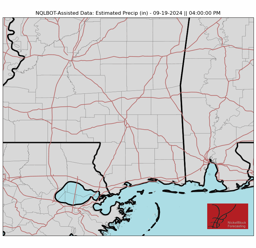
Early this morning, a high-pressure system remains over the southern Plains bringing drier air into the region – sort of. It is still plenty humid as you get closer to the coast. This setup will lead to showers and isolated thunderstorms this afternoon and evening. Temperatures today will be in the mid to upper 80s, with heat indices around the mid-90s to 100°F, and overnight lows in the low to mid-70s.

Tomorrow, a weak front will move southeast towards the Gulf of Mexico, stalling near coastal Mississippi by afternoon, resulting in scattered to numerous showers and thunderstorms across the area. Highs will be in the low to mid-90s with heat indices between 105°F and 110°F.
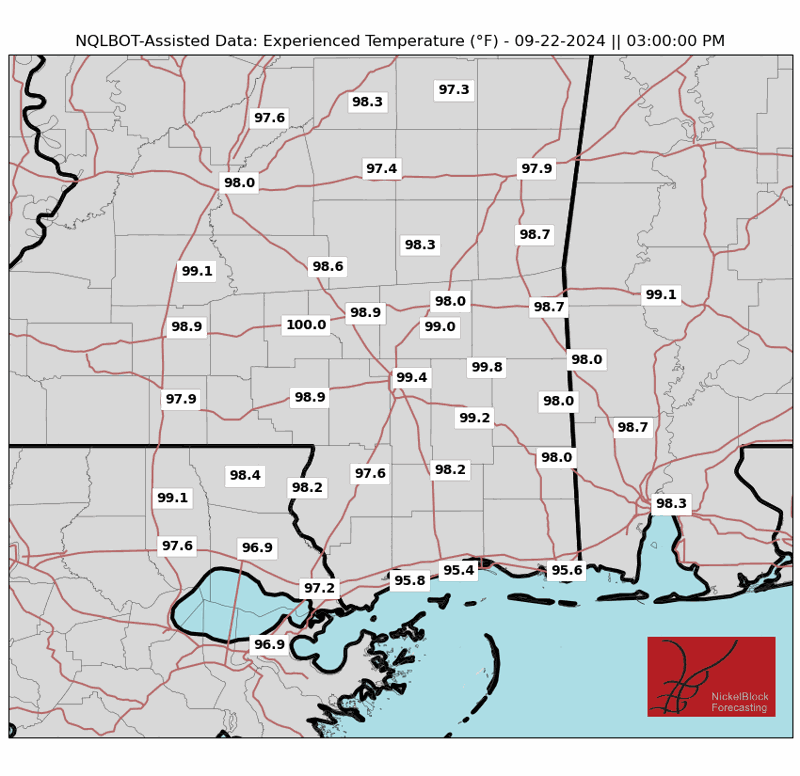
The weekend into early next week will see oppressive heat and humidity as a high-pressure system builds over Texas and the Gulf Coast, with temperatures peaking in the low/mid 90s and higher heat indices. Increased rain and storm chances are expected as the high pressure weakens, with marginally severe storms possible Sunday into Monday and higher rain chances in southeast Mississippi later in the week. Further updates on heat advisories and potential thunderstorms will follow.
All the while we have two areas to monitor in the tropics – and perhaps a third. The farthest-out area is the one with best chance to develop in the coming days. And there is some disagreement among the models as to where it ends up. And how strong it gets.

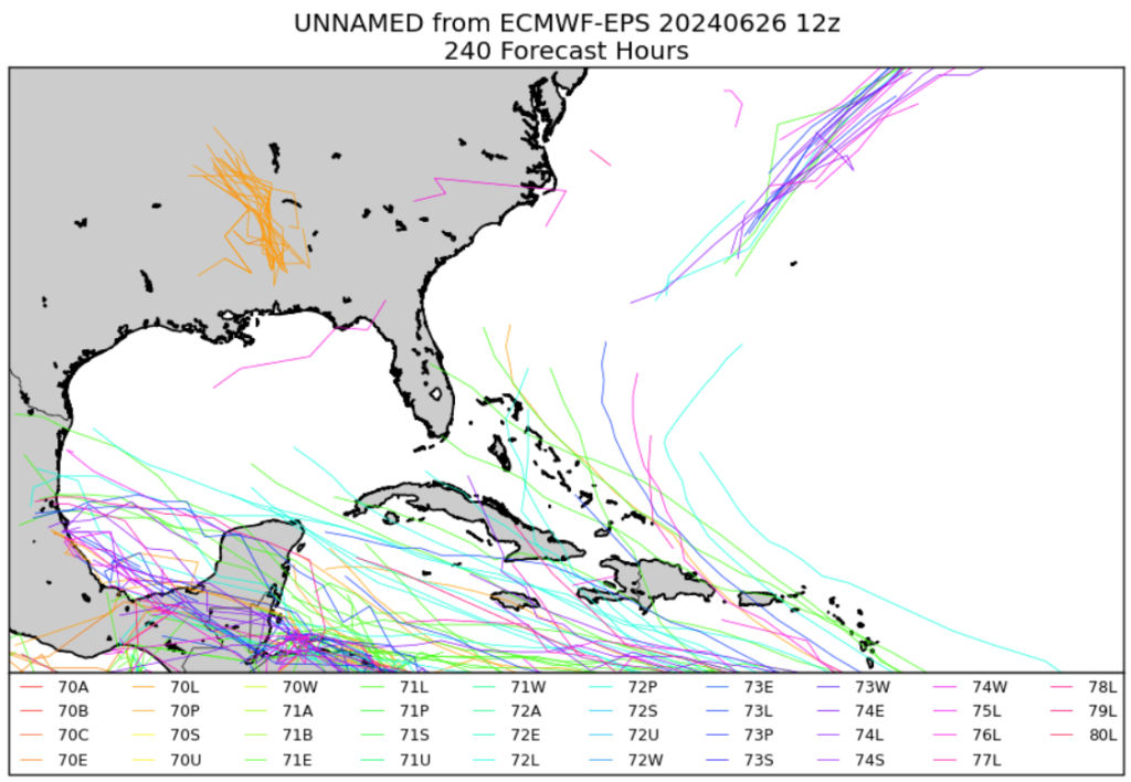
Notice that the Euro ensemble model guidance for 10 days from now has the Gulf still clear of meaningful activity. The American ensemble model, the GEFS, is more aggressive with development and with moving a system into the Gulf.
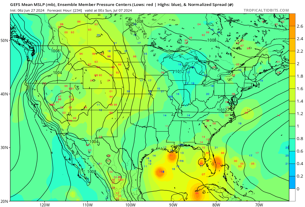
The map above shots where the ensemble model things the center of each of those two systems may be 10 days from now as an orangish-reddish blotch. Notice there are more than two colored blotches. That is a good indication that the model can’t figure it out and there is still too much uncertainty to nail down any specifics. In fact, a good rule of thumb is to ratio the number of potential systems by the number of blotches to get an idea about how “Good” the forecast is for a specific outcome. The larger the ratio (in this case, 2 storms -to- 5 blotches) the lowe the confidence.
This is still 10 days out, and a lot can change. Look for the Tropical Updates from the Interns to keep you in the know about the tropics. We will continue to monitor trends (and you can too!) here on the site.
REGIONAL DAY TO DAY FORECAST
Today: Showers and thunderstorms likely. Highs around 90. West winds 5 to 10 mph. Chance of rain 70 percent.
Tonight: Mostly cloudy with a chance of showers and thunderstorms in the evening, then mostly clear with a slight chance of showers and thunderstorms after midnight. Humid with lows in the lower 70s. South winds around 5 mph. Chance of rain 50 percent.
Friday: Mostly sunny. A chance of showers and thunderstorms in the morning, then showers and thunderstorms in the afternoon. Humid with highs in the lower 90s. Southwest winds 5 to 10 mph. Chance of rain 80 percent. Heat index values up to 105.
Friday Night: Partly cloudy. A chance of showers and thunderstorms, mainly in the evening. Humid with lows in the mid 70s. South winds 5 to 10 mph. Chance of rain 40 percent.
Saturday: Mostly sunny with a chance of showers and thunderstorms. Humid with highs in the lower 90s. Southwest winds around 5 mph. Chance of rain 50 percent. Heat index values up to 106.
Saturday Night: Partly cloudy with a slight chance of showers and thunderstorms. Lows in the mid 70s. Chance of rain 20 percent.
Sunday: Mostly sunny. A chance of showers and thunderstorms in the morning, then showers and thunderstorms likely in the afternoon. Highs in the mid 90s. Chance of rain 70 percent. Heat index values up to 105.
Sunday Night: Mostly cloudy with a chance of showers and thunderstorms in the evening, then partly cloudy after midnight. Lows in the mid 70s. Chance of rain 40 percent.
Monday: Mostly sunny. A slight chance of showers and thunderstorms in the morning, then showers and thunderstorms likely in the afternoon. Highs in the mid 90s. Chance of rain 60 percent. Heat index values up to 110.
Monday Night: Partly cloudy with a slight chance of showers and thunderstorms in the evening, then mostly clear after midnight. Lows in the mid 70s. Chance of rain 20 percent.
Tuesday: Mostly sunny with a chance of showers and thunderstorms. Highs in the mid 90s. Chance of rain 50 percent. Heat index values up to 105.
Tuesday Night: Partly cloudy in the evening, then clearing. Lows in the mid 70s.
Wednesday: Sunny. A slight chance of showers and thunderstorms in the morning, then a chance of showers and thunderstorms in the afternoon. Highs in the mid 90s. Chance of rain 40 percent. Heat index values up to 110.


