As many southerners know, September and October are typically our driest months of the year. We’re right in between the main cooldown for us to jump into fall. This weekend and the following week is no exception. However, it’s still a little bit warm outside for this time of year. Let’s take a look.
//Courtesy: Pivotal Weather
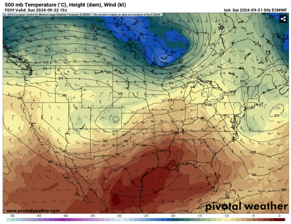
I mentioned last week that a fairly strong ridge of high pressure would creep in from northern Mexico into the southeast and that has since come to fruition. Since it’s fairly stacked from the surface to the upper levels, this will limit most, if not almost all rainfall for the next several days. The ridge will move further east with a trough developing in the mid-Rockies and another one just behind it, but I won’t go too far into that since that’s a little later on.
What this means for us is that it’s going to be hot, and it’s going to be dry. That’s it. The good news is that even though it’s hot, it’s not miserable like what we had last month. The heat index will be in the mid to upper 90s during the day. The humidity will be a factor with dewpoints reaching the upper 60s to around 70. In essence, it’s hot outside but not horrible. Would I still drink plenty of water and electrolytes if I’m outside? Absolutely.
Today, we’ll see few clouds in the sky with temperatures reaching the low to mid 90s across the area. Winds will be pulling from the east around 5 mph during the day. Tonight, we’ll see temperatures in the low 70s.
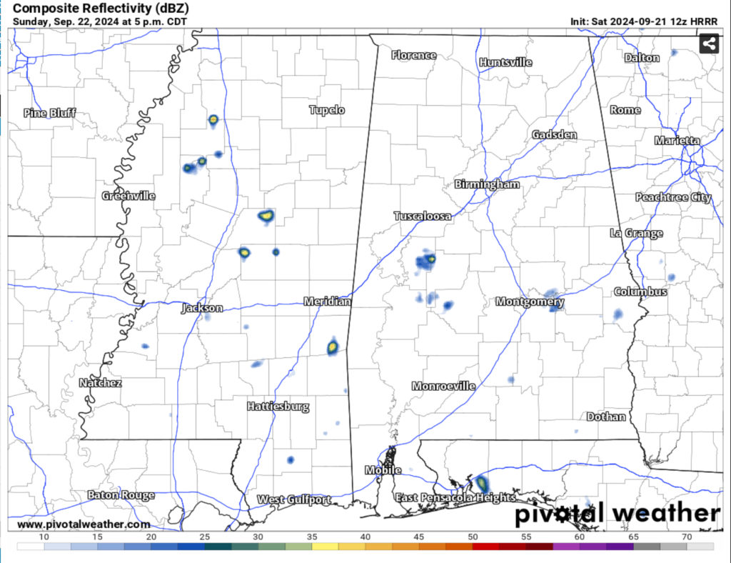
Sunday will be a similar story as the ridge moves in. Temperatures will be in the low 90s with few clouds in the sky. Although the HRRR model shows some pop-up thunderstorms during the afternoon, these will be very isolated. Winds will come from the southeast as the ridge moves a bit. Overnight, the temperatures will hover around 70.
Monday will be similar to Sunday with temperatures reaching the low 90s and heat indices in the mid to upper 90s. Winds will shift from the east to the southeast during the day around 5 mph. Overnight, the temperature will fall to around 70 with winds calming down.
Regional Day-to-Day Forecast
Today – Sunny. Highs in the mid 90s. East winds around 5 mph.
Tonight – Mostly clear. Lows in the lower 70s. South winds around 5 mph in the evening, becoming light and variable.
Sunday – Sunny. Highs in the lower 90s. Northeast winds around 5 mph, becoming southeast around 5 mph in the afternoon.
Sunday Night – Mostly clear. Lows around 70. South winds around 5 mph in the evening, becoming light and variable.
Monday – Sunny. Highs in the lower 90s. East winds around 5 mph, becoming southeast around 5 mph in the afternoon.
Monday Night And Tuesday – Mostly clear. Lows around 70. Highs in the lower 90s.
Tuesday Night – Partly cloudy. Lows in the lower 70s.
Wednesday – Mostly sunny. A chance of showers and thunderstorms in the afternoon. Highs in the upper 80s. Chance of rain 30 percent.
Wednesday Night – Mostly cloudy in the evening, then becoming partly cloudy. Lows in the lower 70s.
Thursday – Partly sunny. A chance of showers and thunderstorms in the afternoon. Highs in the mid 80s. Chance of rain 30 percent.
Thursday Night – Mostly cloudy. Lows in the upper 60s.
Friday – Partly sunny. A chance of rain in the afternoon. Highs in the lower 80s. Chance of rain 30 percent.


