And back to the warmth we go. Temperatures will be in the mid to upper 90s today, with higher humidity again. As evening approaches, temperatures will drop back into the mid-70s in the south.


Looking ahead to the weekend, the drier conditions will stick around, making for more comfortable weather overall. While daytime temperatures will still reach the 90s, morning lows will dip into the 70s, and lower humidity will keep heat indices closer to the actual air temperature. However, with the recent lack of rain and drying vegetation, there’s a slight risk of wildfires, though conditions aren’t severe enough to cause major concern.
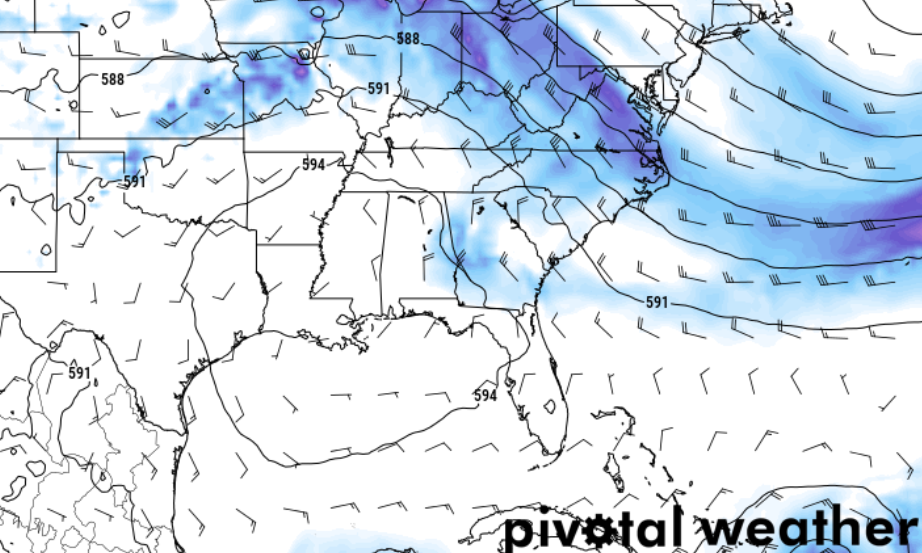
As we move into next week, the break from the heat will be short-lived. By Monday, temperatures will start climbing again as high pressure builds back in, with highs near 100 degrees possible through the middle of the week. By Wednesday we may be sitting smack-dab underneath the middle of a pretty stout ridge of high pressure. Humidity will also return, leading to heat indices in the triple digits and increasing the risk of heat-related stress.
If that happens, any cooling afternoon storms would be sparse and we would be left to bake for a few days. But it wouldn’t last long. I will say the AI/ML Euro model is showing that an area of low pressure may get pinched off and out into the Gulf by next Friday.
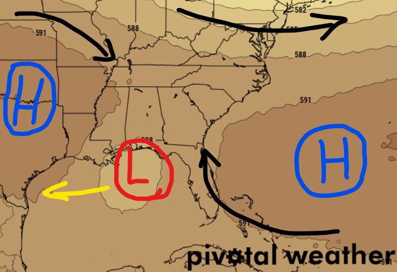
If this happened, it would give us a brief bump in the shot for rain by later next week. And also give us something to watch for development in the Gulf.
REGIONAL DAY TO DAY FORECAST
Today: Mostly sunny. Highs in the mid 90s. North winds around 5 mph. Heat index values up to 105.
Tonight: Partly cloudy in the evening, then clearing. Lows in the lower 70s. North winds around 5 mph.
Saturday: Sunny. Highs in the upper 90s. North winds around 5 mph. Heat index values up to 105.
Saturday Night: Partly cloudy in the evening, then becoming mostly clear. Lows in the lower 70s. North winds around 5 mph.
Sunday: Sunny. Highs in the upper 90s. North winds around 5 mph.
Sunday Night: Mostly clear. Lows in the lower 70s.
Monday: Sunny. Highs in the upper 90s.
Monday Night: Mostly clear. Lows in the mid 70s.
Tuesday: Sunny. A slight chance of showers and thunderstorms in the afternoon. Highs in the upper 90s. Chance of rain 20 percent. Heat index values up to 105.
Tuesday Night: Mostly clear. Lows in the mid 70s.
Wednesday: Sunny. A chance of showers and thunderstorms in the afternoon. Highs in the upper 90s. Chance of rain 30 percent. Heat index values up to 110.
Wednesday Night: Mostly clear. Lows in the upper 70s.
Thursday: Sunny. A chance of showers and thunderstorms in the afternoon. Highs in the upper 90s. Chance of rain 30 percent. Heat index values up to 110.


