We have a newly minted “Invest” this morning: Invest 95L.
This is the area of interest in the Gulf that model guidance is pretty set on spinning up into a tropical ‘something’ during the next 48 hours before it moves inland over Texas.


But that little system will do a good number to keep the chance for rain up for the Southern MS/AL/LA region, too. Because it is breaking off from a lingering, broken down cold front. The boundary between the cooler, drier air to the north and the warmer moisture-laden air tot eh south will still act as a focal point for afternoon storm development.

And the area of low pressure that may develop with Invest 95L eventually would help to usher in that extra Gulf moisture to boost the chance for rain. Right now flooding isn’t a major concern, but it can’t be ruled out. In fact, the Weather Prediction Center has pegged the area with a Marginal Risk for flash flooding for today, tomorrow and Thursday.
That rain will also keep temps from being as warm this week as they were last week and the week before.

Things eventually shift back to a warmer pattern, but for now we are talking about temps in the 80s and chances for rain through about Thursday.
Zone Forecast
After a day off, the Interns are back! We, sadly, do not have a new southwest Mississippi forecas tthis morning, but given the forecast is calling for scattered storms the next few days, it is pretty easy to extrapolate the SE Mississippi forecast out to SW Mississippi, too.
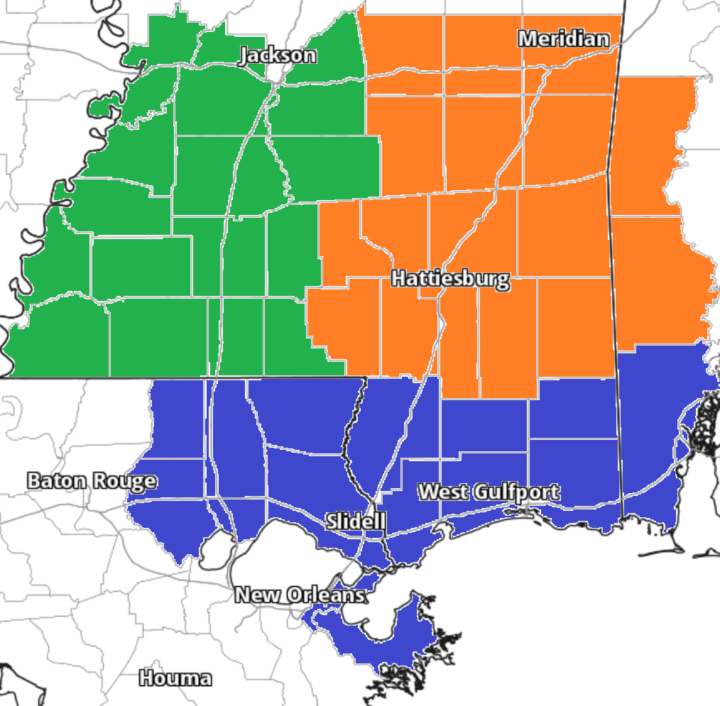
Team Green (southwest Mississippi counties) on the left
Team Orange (southeast Mississippi counties and southwest Alabama counties) in the middle
Team Blue (southeast Louisiana parishes and coastal Mississippi / Alabama) on the right
Remember that you can simply bookmark the pages above and have access to the latest localized forecast from the interns whenever you’d like it!
Day to Day Forecast
No general day to day forecast today! But a specific day to day forecast for your area is available from the interns at the links above!


