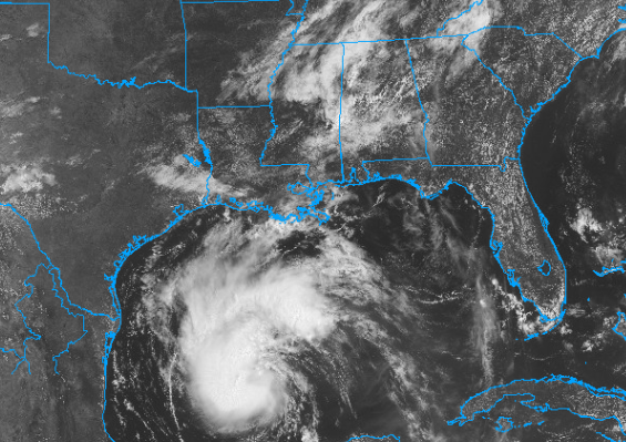
Happy Saturday! I hope that you had a great 4th of July. Looking at our local area, I am expecting temperatures to be cooler than the last couple of days. The heat advisories that were in effect have been allowed to expire. Temperatures should stay in the high 80s to low 90s for most of the region this weekend. Looking at our rainfall chances, most of the area should expect scattered thunderstorms through this weekend. The moisture is primarily the result of Hurricane Beryl, which is passing to our west. Besides the scattered rainfall chances for the next couple of days, Beryl should pose little threat to the area.
Average temperatures expected this weekend.


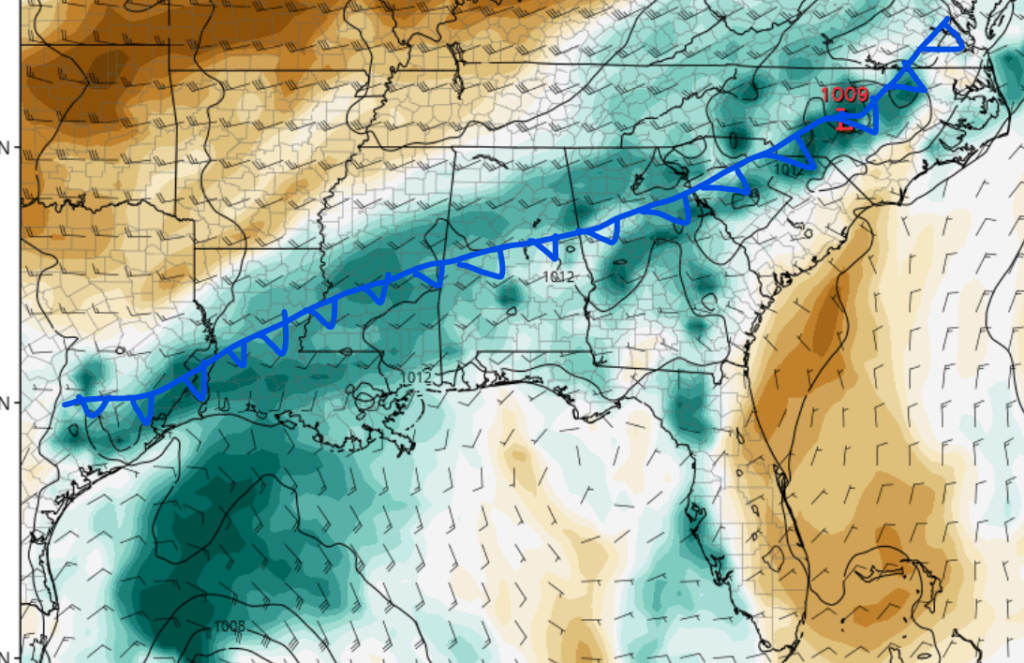
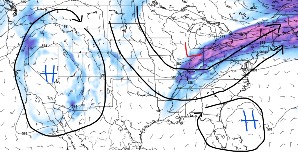
Throughout the last few days, temperatures have been abnormally high, thanks to a ridge of high pressure dominating the region. Even though temperatures were unusually high over the last couple of days, this high-pressure system helped keep Beryl from impacting the region. This pattern is expected to change as a cold front associated with a low-pressure system is expected to move and stall in the area’s northern part (north of Interstate 20) today. This will allow for cooler weather through this weekend, although relative humidity values are expected to be still relatively high, typical of this time of year. I am expecting that the coolest temperatures should be in areas north of Interstate 20 and the coastlines. These areas should see high temperatures in the upper 80s. Areas around Hattiesburg, MS, should see afternoon highs in the low 90s, with heat index values of about 100 degrees Fehnerhight.

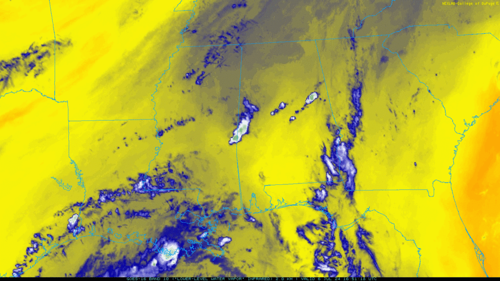
Scattered thunderstorms expected this weekend

Looking at our rainfall chances, most of the region should expect scattered thunderstorms this weekend. The cold front I discussed earlier is expected to stall north of the area, drawing moisture from the Gulf. Areas to the north of Interstate 20 should expect the highest chance of rainfall. Besides the cold front, we are also expecting additional moisture from Beryl as it moves southwest of us. I am not expecting any of these storms to be severe, but brief heavy rain and lightning are always a threat with general thunderstorms. Always make sure that you are weather-ready if you plan on spending time outdoors this weekend.
A quick look at Beryl

Although this is not a tropical forecast, I feel that I should give a quick weather forecast for Tropical Storm Beryl. As of 10 am CDT, the center of Beryl is located at 23.0 latitude north, longitude 92.3 west, and is moving northwest at 12 mph. Minimal central pressure was last observed at 997 MB, and it is currently sustained at 60 mph. Restrenthing into a hurricane is expected as it moves closer to the Texas coastline. Current models suggest that after landfall, the remains of Beryl is expected to move in a northeast direction. The system is expected to blow north of our region, but an increased chance of rainfall is possible as the storm moves inland.
A look into the future


Looking into next week, our region is expected to be in a trough as the remains of Hurricane Beryl move northeast of our area. I am forecasting that our rainfall chances will be high, especially on Tuesday. After Tuesday, plenty of moisture in the Gulf is expected to keep our rainfall chances high, especially in the afternoon. Regarding our temperatures, the trough setup is expected to keep our temperatures close to average through next week, with highs in the upper 80s and low 90s. Overall, it looks like we will be seeing average temperatures and precipitation chances for this time of year, with the expectation of next Tuesday.

