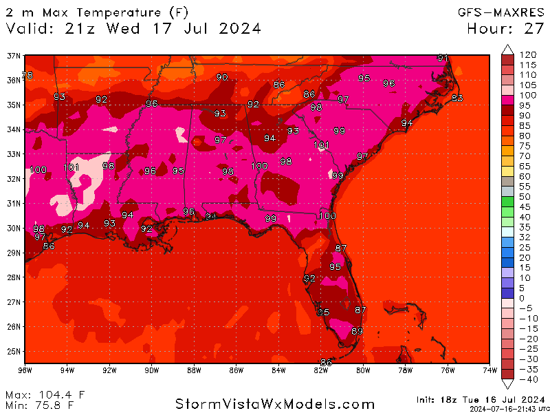
Happy Tuesday! We expect the same weather pattern to continue through tomorrow, with highs in the mid to upper 90s and a chance for showers/thunderstorms throughout the day, specifically in the afternoon/evening hours. A cold front is expected to move into the area Thursday, bringing a chance for some stronger organized storms with a slight drop in temperatures that will bring the highs down into the mid to upper 80s. This front will bring in plenty more rain and cooler temperatures for the weekend and the start of next week. Let’s get into it!
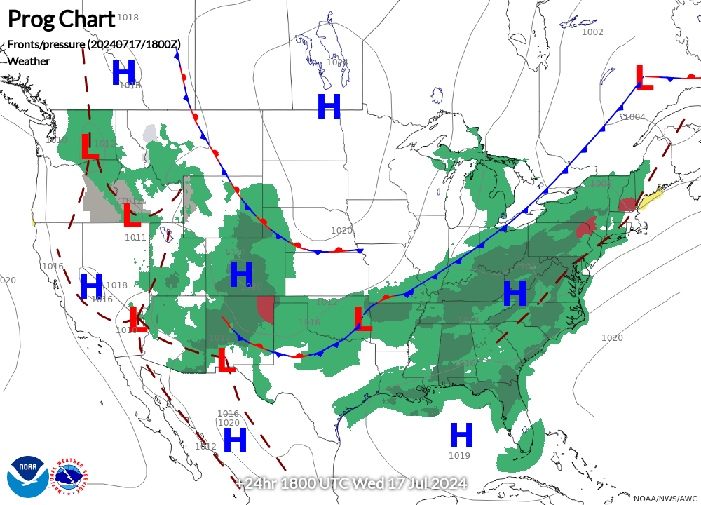
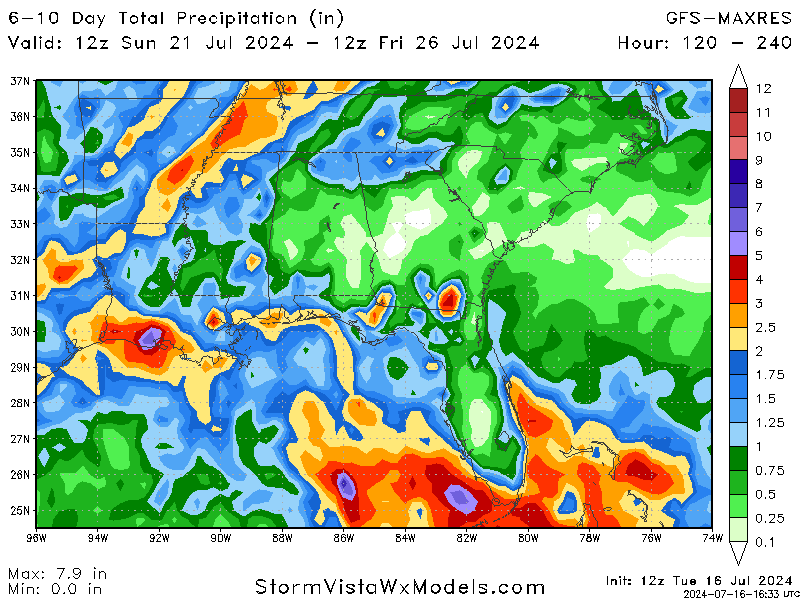
The image on the left shows the surface low-pressure system slowly making its way into our area, bringing plenty of rain along with it. Showers will still be scattered for Wednesday, with the chance for a couple of stronger storms. Pop-up showers are also possible, with the air’s moisture mixing with the heat.
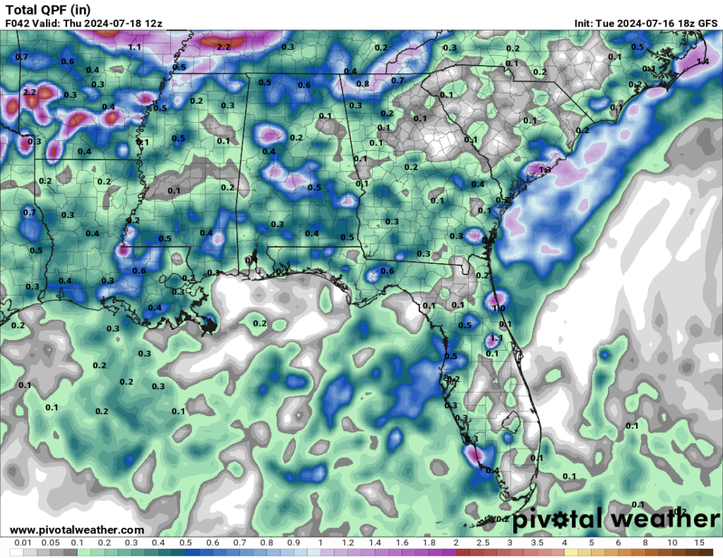
This trend will continue into Thursday, with a slightly more organized system of storms expected to impact the region in the afternoon/evening hours. The main risk, especially towards our coastal areas, will be flooding, and a couple of storms may become significantly strong, but no severe weather is expected, as I am typing this.
Showers/storms and slightly cooler air are expected over the weekend. If you have any outdoor work, you may need to wait a little while for this rain spell to pass.
WHAT ABOUT NEXT WEEK?
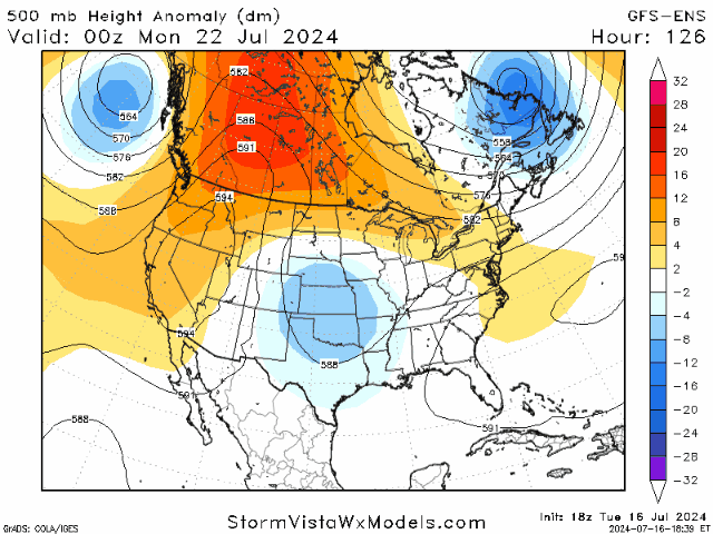
Looking at the start of next week, the mid-level trough we are seeing this week is expected to shift to the east while a new area of low pressure should form over the center of the country. This low-pressure system should keep the temperatures slightly cooler and increase rain chances through next week. This cool, rainy trend won’t last forever because, after next week, we should return to our usual high temperatures and slight chances for rain to continue our summer.
BRIEF TROPICAL UPDATE:
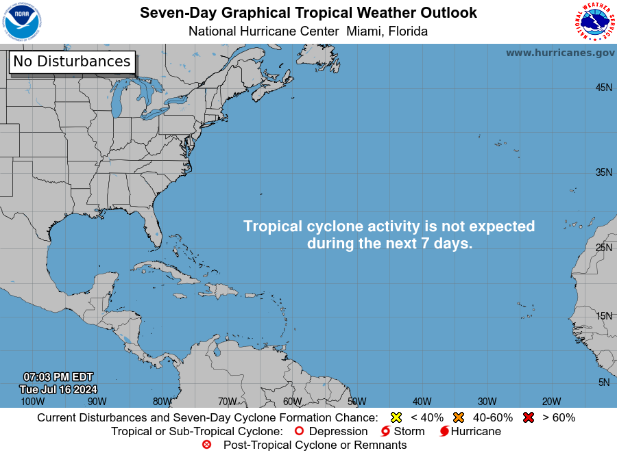
There is still no activity to monitor in the Atlantic as of now. This dry period should last the rest of the week and through the weekend before we have a slight chance of any development.
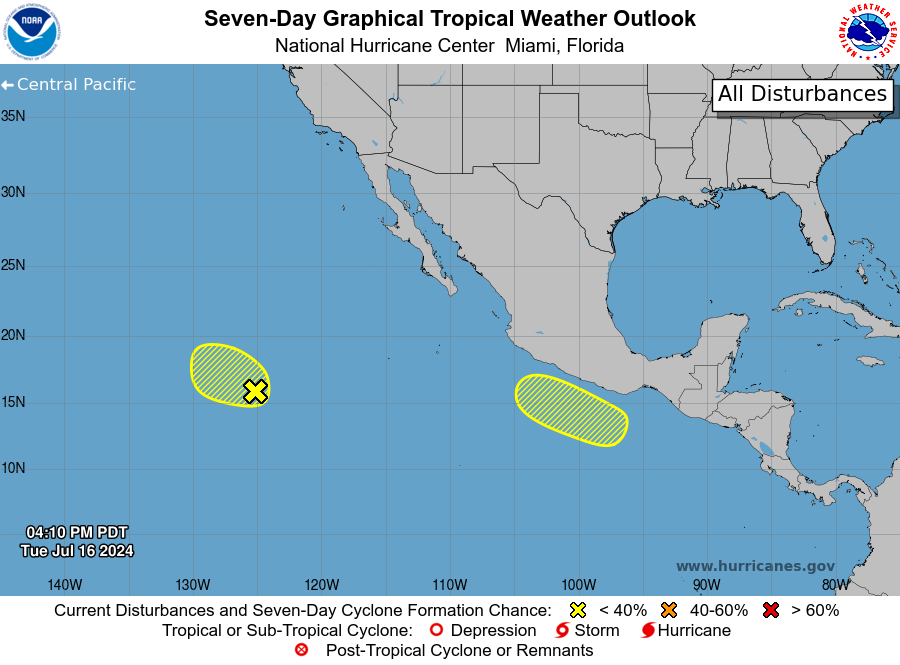
Jumping to the Pacific, we have two areas of interest to mention.
The first area is the spot we have been watching further in the Pacific. This broad area of low pressure continues to produce many disorganized showers and thunderstorms. While a tropical depression could still form during the next day or two, the window for further development is shortening, with stronger upper-level winds and cooler waters anticipated on Thursday.
The second area is a spot for a potential area of low pressure that is likely to form this weekend a few hundred miles south of the coast of southern Mexico. Some slow development of this system is possible early next week while it moves west/northwest into the Pacific Basin.


