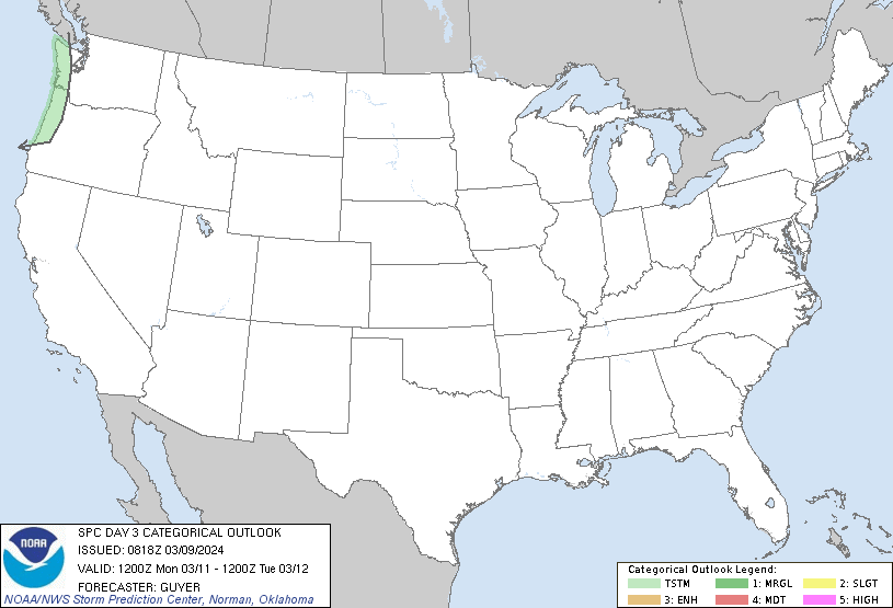
Severe weather is looking less likely this week after the data came back overnight last night. And this has been part of the trend through the weekend. In fact, the SPC has removed any threat for strong storms in our area through the week.

While, on the surface, that sounds like good news… it may not be.
Not to be a Debbie Down here, but skipping our weekly severe weather may not be a good thing. Sure, we skip over one chance for storms and severe weather. But this next cold front we were expecting is simply going to skip by to the north. That means we will be pooling warm, humid, Gulf of Mexico air in the region for an extra few days before the next cold front decides to swing through.
Historically speaking, the longer we pool warm, Gulf air in the area before a cold front passes, the higher the risk for severe weather. While it is nice to skip one, it is also good to have weekly cold fronts because it saves us from really storing more fuel.
That is why the last few threats for severe weather have been situations where I say, “We could see one or two significant storms, but most people won’t see much” because we haven’t pooled enough “juice” to make it so that severe storms are very widespread.
I’ve seen people invoking deity as a reason for the lack of severe weather the last few rounds after the warnings were not commensurate to the outcome. But that isn’t necessary. Because the lack of severe weather was always in the data.
And, not to get on a soap box here, but this is why it is important for you to find someone that will give you a complete look at the forecast, and not just holler a proverbial “look out!” whenever storms are possible. If that person you get the trusted forecast from is me, Awesome! If it is someone else, Also Great! I just want you guys to be as informed about the weather as possible. The last thing i want is for canceled plans, changed times/dates, and everything else to occur when it isn’t needed.
As it looks like right now, the next chance for storms arrives as we close out February and move into March. Until that point, though, we may have a few showers here and there, but the data supports mostly dry conditions.

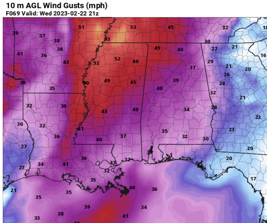
I will say this, though, Wednesday may be another pretty windy day. Gusts may cruise up to 40mph. No storms, just wind!
REGIONAL DAY TO DAY FORECAST
Today
Mostly cloudy. Highs in the mid 70s. Southwest winds 10 to 15 mph with gusts up to 25 mph.
Tonight
Mostly cloudy. Not as cool with lows in the mid 60s. Southwest winds 10 to 15 mph with gusts up to 25 mph.
Tuesday
Cloudy in the morning, then becoming partly sunny. Highs around 80. Southwest winds 10 to 15 mph with gusts up to 25 mph.
Tuesday Night
Partly cloudy in the evening, then becoming mostly cloudy. Patchy fog after midnight. Lows in the lower 60s. South winds 10 to 15 mph.
Wednesday
Mostly cloudy in the morning, then becoming partly sunny. Patchy fog in the morning. Breezy with highs in the lower 80s. South winds 15 to 25 mph with gusts up to 40 mph.
Wednesday Night
Mostly cloudy. Lows in the upper 60s.
Thursday
Mostly cloudy in the morning, then becoming partly sunny. Highs in the mid 80s.
Thursday Night
Mostly cloudy. Lows in the mid 60s.
Friday
Mostly cloudy. Highs in the upper 70s.
Friday Night
Mostly cloudy. Lows in the mid 60s.
Saturday
Mostly cloudy in the morning, then becoming mostly sunny. Highs in the mid 80s.
Saturday Night
Partly cloudy in the evening, then becoming mostly cloudy. Lows in the lower 60s.
Sunday
Mostly cloudy in the morning, then mostly sunny with a slight chance of showers in the afternoon. Highs in the lower 80s. Chance of rain 20 percent.

