Some of you guys may recall my post back in early November giving everyone an early heads up about the chance for some cold in Mid-December.
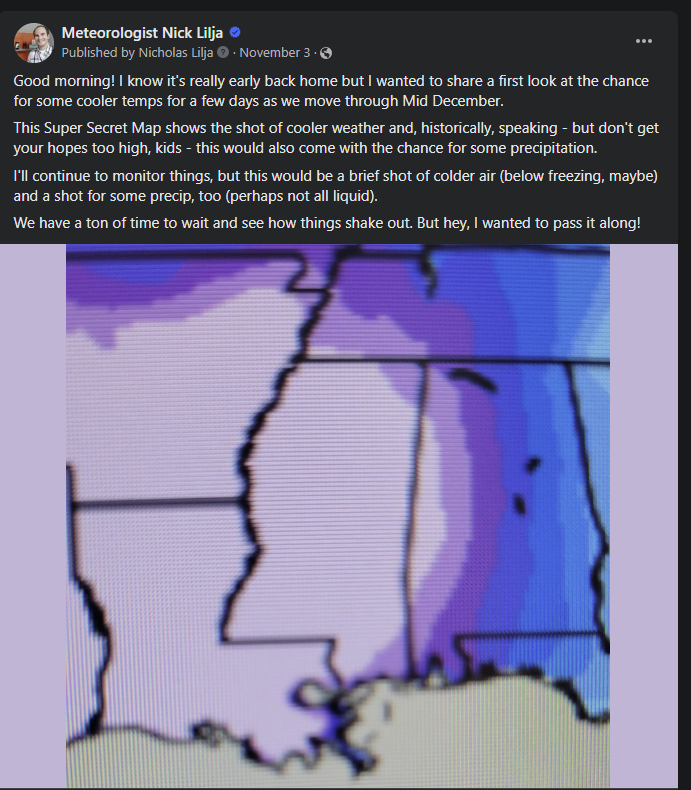
Well, now that we are about nine days away from the middle of the month, I wanted to revisit that forecast to see if it still holds.
And it seems to be holding.
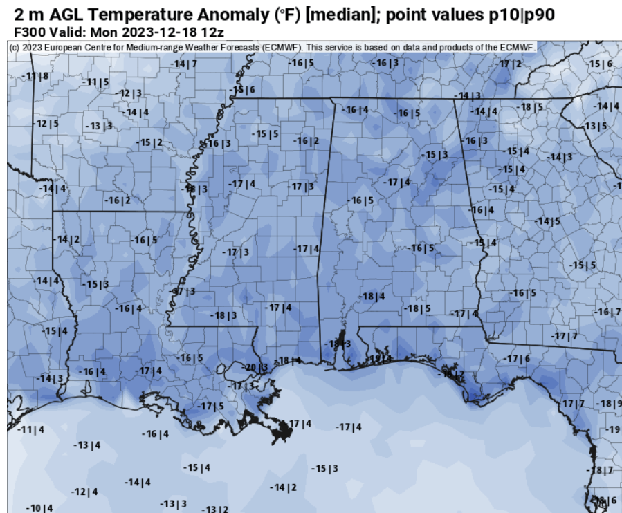
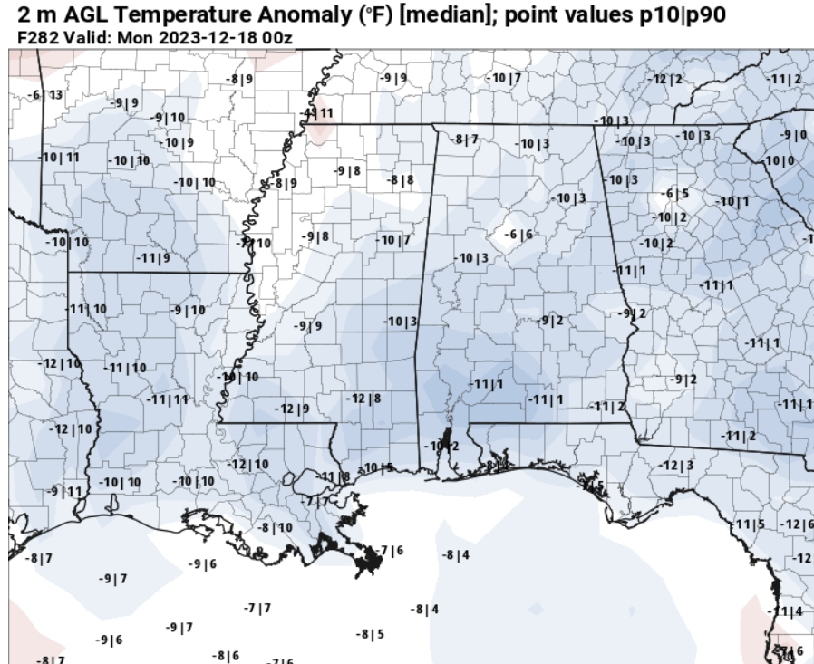
Things may not ‘look’ as cold on the maps above, but the numbers show between 5 and 14 degrees below normal possible.
The data above is from ensemble model guidance, but there is also support for this cold from the operational model guidance, too.
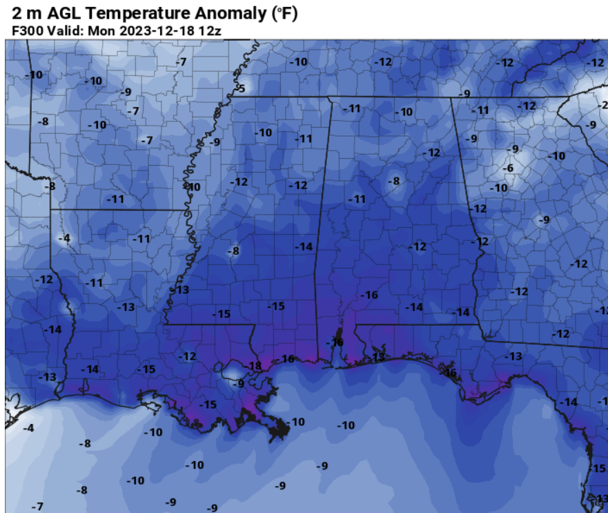
This would result in overnight lows around 25F-to-30F and afternoon highs around 40F-to-45F. Chilly stuff!
Any chance for precip with this cold? So far, not really. And even if there was, we don’t have the “best” setup to create snowfall.
The current 500mb map (below, left) suggests that we will have a small elbow across west Texas and into the Four Corners. And really we need that elbow to flex all the way south into south Texas or Mexico (below, right).
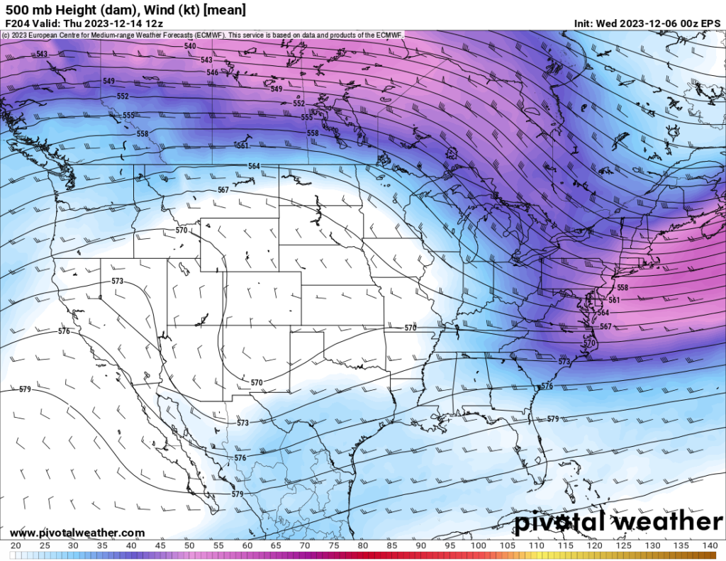
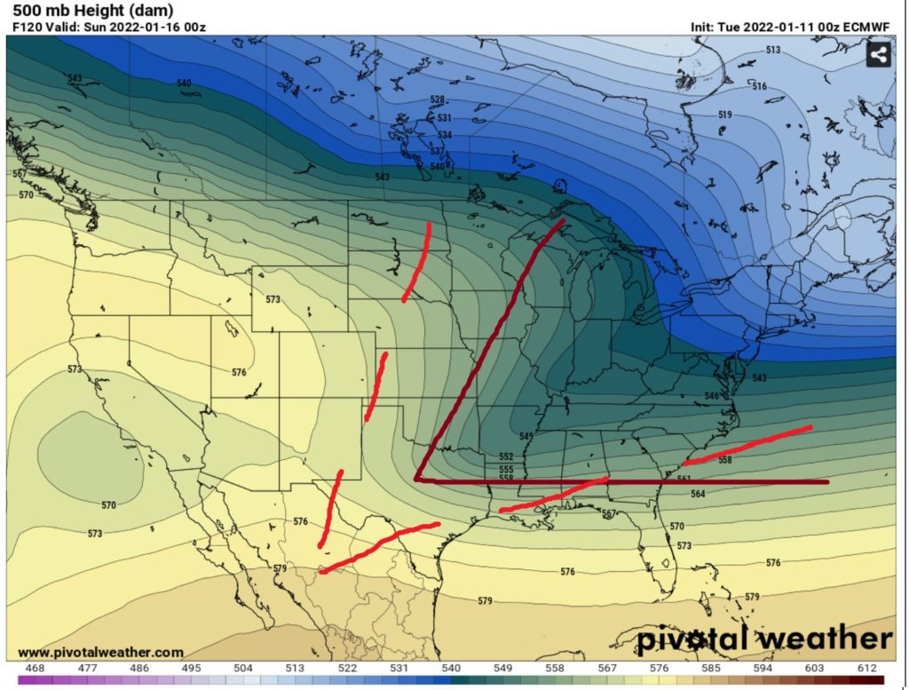
Until we get a stronger elbow, it is unlikely we get “snow cold” and enough precip to over-run the cold to get snow.
But it is worth watching. Because any elbow in the model guidance means there is already a signal that there is a potential. It is all about which way the model guidance leans in the coming days as we getting a better handle on things.

