A stretch of quiet but breezy weather is setting up across the region as we head into the new work week. The broader pattern through the upcoming week remains largely quiet under the influence of upper-level ridging and northwest flow, which will keep rain chances low and skies mostly clear.
Tomorrow will be pretty nice, albeit slightly warm.
Temperatures are expected to run above normal through this next Saturday. However, the extended dry spell is raising fire weather concerns, particularly on Tuesday when a dry front is expected to move through. Low humidity and breezy conditions will support an elevated fire risk. By midweek, winds will relax but dry weather will persist. The ridge may hold strong into next weekend, delaying any potential disturbances.
So far, we are going to keep things dry through the weekend, but there is a chance as we get into the following week that a better shot for rain may return.
REGIONAL DAY TO DAY FORECAST
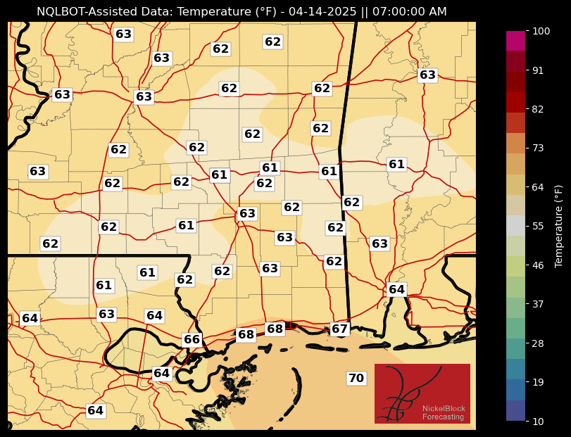
Tonight: Clear. Lows in the mid 50s. South winds 5 to 10 mph.
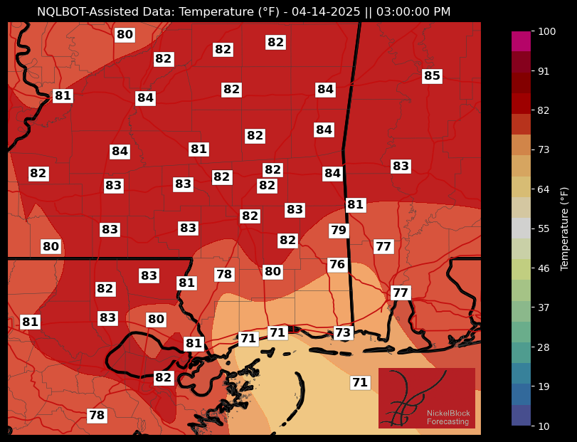
Monday: Sunny. Highs in the lower 80s. Southwest winds 5 to 10 mph.
Monday Night: Mostly clear in the evening, then becoming partly cloudy. Lows in the upper 50s. Southwest winds 5 to 10 mph.
Tuesday: Mostly sunny. Highs around 80. Northwest winds 5 to 10 mph, becoming north in the afternoon.
Tuesday Night: Clear, cooler with lows in the upper 40s.
Wednesday: Sunny. Highs in the upper 70s.
Wednesday Night: Mostly clear. Lows around 50.
Thursday: Sunny. Highs in the lower 80s.
Thursday Night: Mostly clear in the evening, then becoming partly cloudy. Lows in the upper 50s.
Friday: Mostly sunny. Highs in the mid 80s.
Friday Night: Mostly cloudy. Lows in the mid 60s.
Saturday: Mostly cloudy in the morning, then becoming partly sunny. Highs in the mid 80s.


