Happy 4th of July, everyone; I hope everyone is ready to see fireworks this evening. Before you fire up the grill, I have some information about the weather forecast. Looking at a general overview, heat is expected for both the West Coast and portions of the East Coast. Some areas of the Desert Southwest could see temperatures as high as 115 degrees Feherenhight (46 degrees Celcius). Areas in the Coastal Southeast could see temperatures as high as 100 degrees Feherenhight (38 degrees Celcius), which does not include the heat index. Areas in the Mid-West and the Eastern United States should expect numerous rain showers and thunderstorms. The High Planes and Upper Mid-West could see a severe thunderstorm or two, with hail and high winds the primary threats.
The Heat Continues


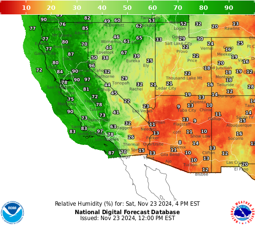
For some Americans, this summer has been relentless, with some areas of the country seeing record-breaking temperatures. Unfortianlty, the heat is not letting up and is expected to continue for millions of Americans this Fourth of July. Areas of the desert Southwest can expect temperatures as high as 115 degrees Feherenhight (46 degrees Celcius). Areas in the Central Valley of California should see high temperatures top out over 100 degrees Feherenhight (38 degrees Celcius). With dew points only in the 40s and relative humidity as low as 5%, this is a recipe for wildfires, so make sure to practice fire safety, especially when lighting fireworks. The reason for this heat is a dome of high pressure that has centered itself over the region, bringing in hot, dry air from Mexico. The only areas that should see relief from this heat are areas directly on the ocean due to the cold water acting as air conditioning for coastal areas.
A Sticky Muggy Southeast


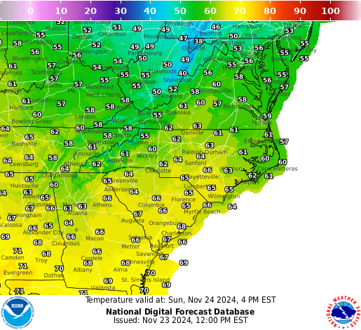
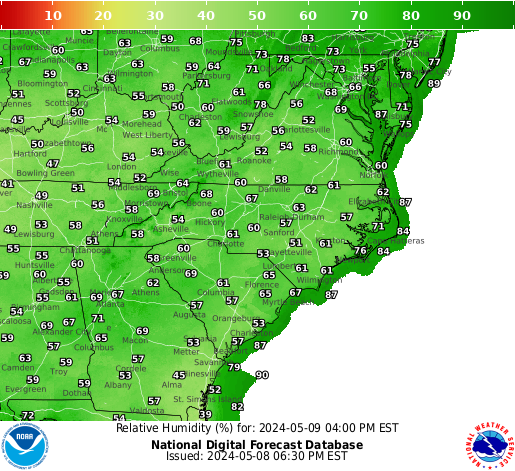
Areas in the Southeast can also expect high temperatures for the 4th of July. High temperatures are expected to reach the mid to upper 90s. Combine these temperatures with high humidity levels; one can expect the heat index to top 100 degrees Feherenhight (38 degrees Celsius). People in these areas should be taking heat-related precautions this 4th of July by staying inside or finding a way to keep cool outside. Like the Southwest, there is an area of high pressure centered over the Southeast, which is causing this oppressive heat and humidity for the region.
A Soggy 4th of July for Millions

Not only will the United States be dealing with high sweltering heat this 4th of July, but areas in the central and eastern U.S. could also see rain and thunderstorm chances. My predictions for seeing the best rain chances are areas in the Mid-Atlantic, the Northeast, and regions in the Upper Mid-West, with cities like New York, Boston, and Minneapolis seeing the best chance of rain during the evening. Although this may put a damper on some fireworks shows, the rain should help drive the smoke out of the Midwest.
Severe Weather is Also Expected

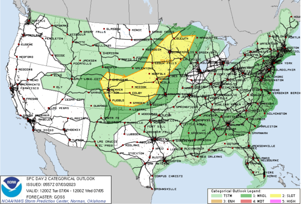
Not only will there be a chance of rain for many, but there is also the chance of seeing severe weather throughout the U.S. Areas from Denver to Duluth have the highest chance of seeing severe storms, with areas along the east coast also seeing a chance of severe weather. The primary threat will be high winds and large hail. Areas in Northeast Colorado and Southeastern Wyoming have the chance of seeing a tornado or two. A weak upper-level trough, a cold front, and a low-pressure system will be moving through the upper Midwest, bringing unstable air to the region. Combine this with high surface temperatures, and you have the ingredients for strong storms. Areas furth west will see upslope flow and upper-level wind shear, creating the chance of seeing supercells. This is the primary reason why I think the High Planes will see the greatest chance of seeing tornadoes. People in the slight risk or yellow-shaded area should keep an eye on radar during your 4th of July celebrations.
Travel Impacts
Seeing how millions of Americans will be traveling this holiday, the weather forecast is key to having a smooth travel experience. For those who plan to fly, you may see some delays around the Midwest and East Coast as showers and thunderstorms move through the region. Some major airports that may be impacted are New York, Boston, Chicago, Minneapolis, and Denver. The majority of the delays will most likely happen in the afternoon as storms begin to develop. Those who plan to drive should expect to encounter showers and thunderstorms in the East and hot weather in the Southwest.
Extended Outlook


Looking at the extended outlook, one thing that catches my eye is the area of cooler and wetter weather in the Midwest. This is being caused by a cold front moving through the region in the next 3 days, bringing cooler and wetter weather. This is a good thing because areas of eastern Nebraska and Eastern Kansas are experiencing severe drought. Looking further south, the high pressure that’s causing this oppressive heat is expected to stick around throughout the rest of the week, with no relief in sight. This will bring hot and dry conditions for the Southwest and muggy conditions for the Southeast.
Conclusions
For those who live on the west coast, Great Basin, Southern Planes, and the Pacific Northwest, your 4th of July should have pleasant weather minus some heat. Those in the Desert Southwest and the Southeast should be prepared for extreme heat for your BBQ cookout. Those in the Midwest and Northeast may want to keep an eye on the radar as a storm could pop up and wash out your firework show. I hope that everyone has a great 4th of July, and remember to be weather-ready during your party.

