In the words of the great Yogi Berra, “It’s not the heat,it’s the humility”
The forecast continues to look warm during the next few days. Hot, really. Warm probably isn’t a strong enough descriptor. Really hot if you have to work outside.
And almost record-breaking heat, too. Looking at the daily records for the area from the NWS, you can see how close we will be today, tomorrow and into the weekend.

Highs will continue to run in the upper 90s to around 100 through Sunday. A few folks will probably cruise all the way to 103 F for an afternoon high. And I wouldn’t be surprised to see some car thermometers registering 105F – or even 110F.

The ridge to the west will eventually ease farther west as we head through the middle of next week. That should open the door for some ‘cooler’ air to move into the area.
Keep in mind, ‘cooler’ doesn’t mean ‘cool’ but rather ‘not 100F’. And it even comes with some better chances for rain, too. Not a great chance for rain, but better.
Zone Specific Forecast
The Interns did another great job putting together forecasts for everyone. Read about your area t the link below, or read them all!
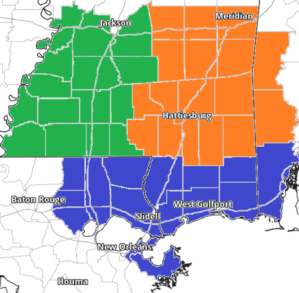
Team Green (southwest Mississippi counties) on the left
Team Orange (southeast Mississippi counties and southwest Alabama counties) in the middle
Team Blue (southeast Louisiana parishes and coastal Mississippi / Alabama) on the right
Day to Day Forecast
No general day to day forecast today! But a specific day to day forecast for your area is available from the interns at the links above!


Can’t say what year it was (several years back), but there was a month where it hit 105 3 days in a row. I’ve been outside this week and Yogi was right … it IS the humidity that gets you!