Not much to report from the weather this morning – aside from saying, “Golly, it sure looks nice!”
Aloft we may be dealing with a southwesterly flow still, but that doesn’t change the fact that we are more northerly at the surface. That is helping to continue to dry things out. As the base of the trough passes through the area today and into tomorrow, it will leave us with a northwesterly flow aloft by later this week – and still dry!
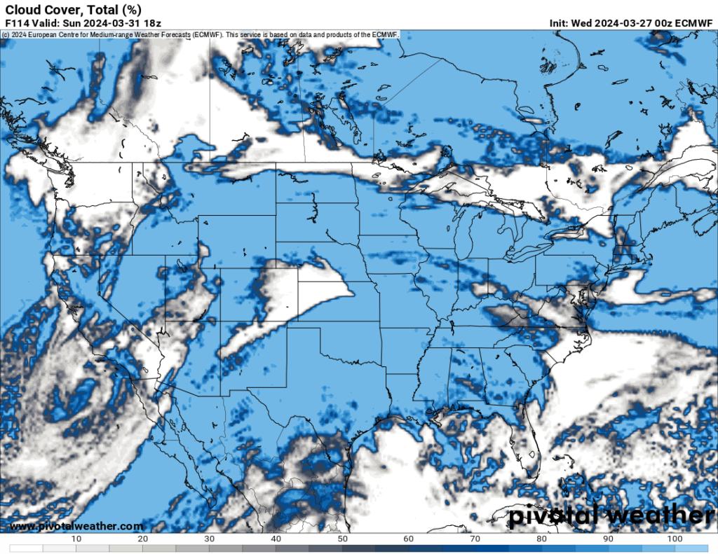
That should hold all the way through Easter Sunday. That said, it may be a bit cloudy on Easter as we get some cloud spray from the next system.

Then next week things get a bit more active as we glide through Monday and into Tuesday when the next system arrives with a shot for storms and the potential for more severe weather.
It doesn’t look like this next system will be like the last system, so we can’t really make a 1-to-1 comparison. But I’ll continue to monitor things (you can too!) as we get closer.
REGIONAL DAY TO DAY FORECAST
Today: Sunny. Highs in the lower 70s. North winds 5 to 10 mph with gusts up to 20 mph.
Tonight: Partly cloudy in the evening, then becoming mostly clear. Lows in the mid 40s. North winds 5 to 10 mph.
Thursday: Sunny. Highs in the lower 70s. North winds 10 to 15 mph.
Thursday Night: Clear. Lows in the lower 40s. North winds 5 to 10 mph.
Friday: Sunny. Highs in the mid 70s. East winds around 5 mph, becoming south in the afternoon.
Friday Night: Mostly clear in the evening, then becoming partly cloudy. Lows around 50.
Saturday: Mostly sunny. Highs in the upper 70s.
Saturday Night: Mostly clear in the evening, then becoming partly cloudy. Lows in the upper 50s.
Sunday: Partly sunny. Highs in the lower 80s.
Sunday Night: Mostly cloudy. Lows in the lower 60s.
Monday: Partly sunny. Highs in the mid 80s.
Monday Night: Mostly cloudy. Lows in the mid 60s.
Tuesday: Mostly cloudy in the morning, then partly sunny with a slight chance of showers and thunderstorms in the afternoon. Highs in the lower 80s. Chance of rain 20 percent.

