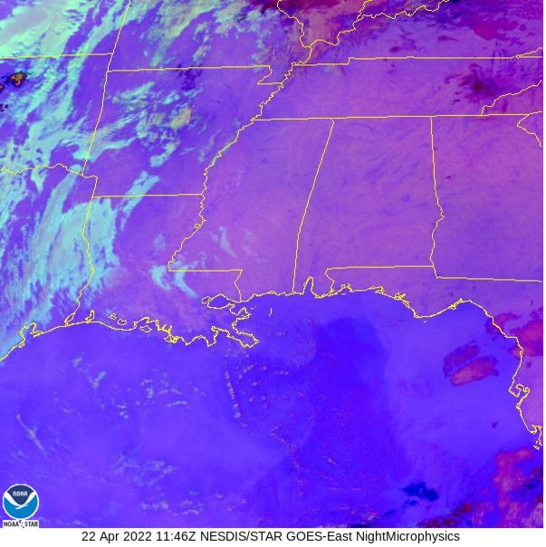
Only a few clouds out there this morning and some patchy fog.

High pressure will remain incontrol through the weekend, which means the nicer weather should continue. By Sunday, the ridge starts to move east and a cold front sneaks into the area. But that front will be pretty weak by the time it moves through and only offer a handful of storms.

The storm track during the next 10 days should – generally – keep most of the potential severe weather action relegated to the Central Plains and into the Ohio River Valley, and away from the Southeast.
Day to Day Forecast
Today
Patchy fog this morning will clear by 9a with mostly sunny skies the rest of the day. Highs in the mid 80s..
Tonight
Clear. Lows in the upper 50s.
Saturday
Sunny. Highs in the mid 80s.
Saturday Night
Mostly clear in the evening, then becoming mostly cloudy. Lows around 60.
Sunday
Mostly sunny. Highs in the mid 80s.
Sunday Night
Partly cloudy. Lows in the lower 60s.
Monday
Mostly cloudy with showers and storms possible. Severe weather is less likely. Highs in the upper 80s. Chance of rain 60-percent.
Monday Night
Partly cloudy with most storms ending by midnight. Lows in the lower 60s. Chance of rain 40-percent.
Tuesday
Partly sunny with lingering morning showers possible. Highs in the upper 70s. Chance of rain 30-percent.
Tuesday Night
Mostly clear. Cooler with lows in the lower 50s.
Wednesday
Sunny. Highs in the upper 70s.
Wednesday Night
Clear. Lows in the lower 50s.
Thursday
Sunny. Highs in the mid 80s.


I’m seeing another possible ‘cool-down’ after the frontal passage on Monday-Tuesday. We’ll want those once June and July arrive! Great job, Nick, as usual!